

Shanti Stupa on the map, Leh, India
Photo
Where is located Shanti Stupa
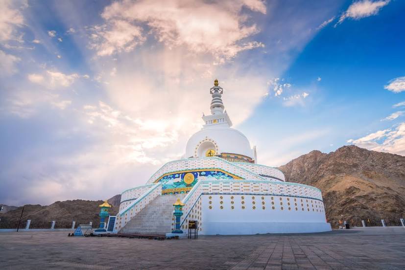
Shanti Stupa — local attraction, which is located at Shanti Stupa Rd, Leh, Jammu and Kashmir 194101 and belongs to the category — buddhist temple. Average visitor rating for this place — 4.7 (according to 2846 ratings, information from open sources and relevant for 2022).
Exact location — Shanti Stupa, marked on the map with a red marker.
You can get directions to Shanti Stupa on the map from your location.
What else is interesting in Leh? You can see all the sights if you go to the city page.
Coordinates
Shanti Stupa, India coordinates in decimal format: latitude — 34.17357963682047, longitude — 77.57493442476765. When converted to degrees, minutes, seconds Shanti Stupa has the following coordinates: 34°10′24.89 north latitude and 77°34′29.76 east longitude.
Nearby cities
The largest cities that are located nearby:
- Srinagar — 255 km
- Pathankot — 276 km
- Jammu — 298 km
- Siālkot
 (Pakistan) — 338 km
 - Shimla — 339 km
- Batala — 341 km
- Kotli
 — 346 km
 - Daska (Pakistan) — 361 km
- Jalandhar — 365 km
- Phagwara — 366 km
- Wazirabad (Pakistan) — 374 km
- Amritsar — 377 km
- Jhelum (Pakistan) — 381 km
- Chandigarh — 386 km
- Gujranwala (Pakistan) — 387 km
- Ludhiana — 395 km
- Abbottābad (Pakistan) — 398 km
- Muridke (Pakistan) — 406 km
- Islamabad (Pakistan) — 415 km
Distance to the capital
Distance to the capital (New Delhi) is about — 619 km.