
 Donaueschingen
Sassnitz
Auerbach
Bad Tölz
Kitzingen
Nordhorn
Stadtbergen
Horn
Königswinter
Alfdorf
Kirchlengern
Niedernhausen
Schmalkalden
Jarplund-Weding
Cologne
Pronsfeld
Heide
Werdohl
Bad Ems
Donaueschingen
Sassnitz
Auerbach
Bad Tölz
Kitzingen
Nordhorn
Stadtbergen
Horn
Königswinter
Alfdorf
Kirchlengern
Niedernhausen
Schmalkalden
Jarplund-Weding
Cologne
Pronsfeld
Heide
Werdohl
Bad Ems
Markgröningen on the map, Germany
Where is located Markgröningen
Exact location — Markgröningen, Stuttgart, Baden-Württemberg, Germany, marked on the map with a red marker.
Coordinates
Markgröningen, Germany coordinates in decimal format: latitude — 48.903478, longitude — 9.0865389. When converted to degrees, minutes, seconds Markgröningen has the following coordinates: 48°54′12.52 north latitude and 9°5′11.54 east longitude.
Population
Markgröningen, Stuttgart, Baden-Württemberg, Germany, according to our data the population is — 14,766 residents, which is about 0% of the total population of the country (Germany).
Comparison of the population on the graph:
Exact time
Time zone for this location Markgröningen — UTC +2 Europe/Berlin. Exact time — friday, 5 may 2024 year, 01 h. 13 minutes.
Sunrise and sunset
Markgröningen, sunrise and sunset data for a date — friday 10.05.2024.
| Sunrise | Sunset | Day (duration) |
|---|---|---|
| 05:51 -2 minutes | 20:48 +2 minutes | 15 h. 0 minutes. +4 minutes |
You can control the scale of the map using the auxiliary tools to find out exactly where it is located Markgröningen. When you change the scale of the map, the width of the ruler also changes (in kilometers and miles).
Nearby cities
The largest cities that are located nearby:
- Stuttgart — 16 km
- Heilbronn — 28 km
- Pforzheim — 29 km
- Reutlingen — 45 km
- Karlsruhe — 51 km
- Heidelberg — 62 km
- Ludwigshafen — 78 km
- Mannheim — 78 km
- Ulm — 86 km
- Strasbourg
 (France) — 104 km
 - Darmstadt — 112 km
- Würzburg — 116 km
- Offenbach — 134 km
- Mainz — 134 km
- Freiburg — 136 km
- Frankfurt — 137 km
- Wiesbaden — 143 km
- Augsburg — 146 km
- Fürth — 151 km
Distance to neighboring capitals:
- Vaduz
 (Liechtenstein) — 199 km
 - Bern
 (Switzerland) — 250 km
 - Brussels
 (Belgium) — 402 km
 - Prague
 (Czech Republic) — 408 km
 - Amsterdam
 (Netherlands) — 486 km
 - Paris (France) — 492 km
- Paris (France) — 492 km
- Ljubljana
 (Slovenia) — 516 km
 - Vienna
 (Austria) — 542 km
 - Copenhagen
 (Denmark) — 789 km
 - Rome
 (Italy) — 823 km
 - Warsaw
 (Poland) — 919 km
 - Oslo
 (Norway) — 1229 km
 - Stockholm
 (Sweden) — 1291 km
 - Minsk
 (Belarus) — 1392 km
 - Kyiv
 (Ukraine) — 1547 km
 - Helsinki
 (Finland) — 1609 km
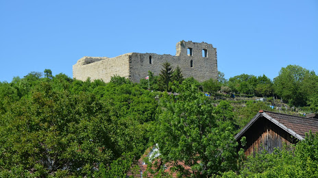
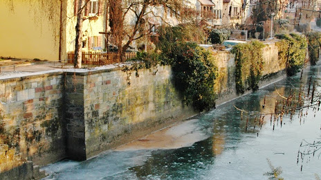
Attractions
Distance to the capital
Distance to the capital (Berlin) is about — 504 km.