
 Maureville
Samoëns
Gréning
Toulouse
Volx
Goudet
Méhoncourt
Saint-Hymer
Pontcarré
Maureville
Samoëns
Gréning
Toulouse
Volx
Goudet
Méhoncourt
Saint-Hymer
Pontcarré
Forêt Régionale de Bondy on the map, Montfermeil, France
Photo
Where is located Forêt Régionale de Bondy
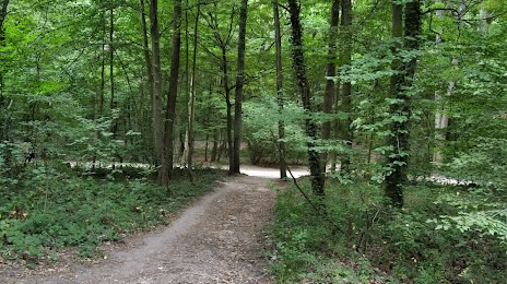
Forêt Régionale de Bondy — local attraction, which is located at no data and belongs to the category — -. Average visitor rating for this place — 4.3 (according to 26 ratings, information from open sources and relevant for 2022).
Exact location — Forêt Régionale de Bondy, marked on the map with a red marker.
You can get directions to Forêt Régionale de Bondy on the map from your location.
What else is interesting in Montfermeil? You can see all the sights if you go to the city page.
Coordinates
Forêt Régionale de Bondy, France coordinates in decimal format: latitude — 48.910328274469364, longitude — 2.5626409029853425. When converted to degrees, minutes, seconds Forêt Régionale de Bondy has the following coordinates: 48°54′37.18 north latitude and 2°33′45.51 east longitude.
Nearby cities
The largest cities that are located nearby:
- Boulogne-Billancourt — 25 km
- Amiens — 111 km
- Reims — 113 km
- Orléans — 121 km
- Rouen — 121 km
- Le Havre — 189 km
- Lille — 194 km
- Le Mans — 201 km
- Charleroi
 (Belgium) — 213 km
 - Caen — 215 km
- Tours — 218 km
- Namur (Belgium) — 237 km
- Brussels (Belgium) — 249 km
- Dijon — 255 km
- Eastbourne
 (United Kingdom) — 261 km
 - Metz — 262 km
- Nancy — 265 km
- Angers — 282 km
- Liège (Belgium) — 285 km
Distance to the capital
Distance to the capital (Paris) is about — 17 km.