Herval — Barcelos
Herval — Juazeiro
Herval — Teutônia
Herval — Benevides
Herval — Sabará
Herval — Santa Vitória do Palmar
Herval — Ubatuba
Herval — Maricá
Herval — Casca
Herval — Estrada das Barreiras
Herval — Itaberá
Herval — Belém
Herval — Santa Cruz de Salinas
Herval — Jundiá
Herval — Manaus
Herval — Ubajara
Herval — São Gonçalo do Amarante
Herval — Pardinho
Herval — Xapuri
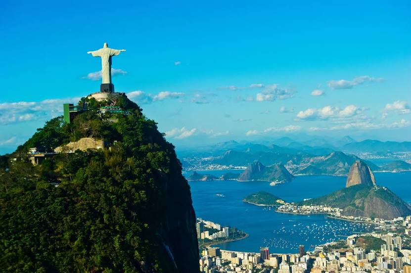
Herval — Rio de Janeiro distance, route on the map
Distance by car
Distance between Herval, Rio Grande do Sul, Brazil and Rio de Janeiro, State of Rio de Janeiro, Brazil by car is — km, or miles. To travel this distance by car, you need minute, or h.
Route on the map, driving directions
Car route Herval — Rio de Janeiro was created automatically. The road on the map is shown as a blue line. By moving the markers, you can create a new route through the points you need.
Distance by plane
If you decide to take a trip Herval Rio de Janeiro by plane, then you have to fly the distance — 1429 km or 886 miles. It is marked on the map with a gray line (between two points in a straight line).
Flight time
Estimated flight time Herval Rio de Janeiro by plane at cruising speed 750 km / h will be — 1 h. and 54 min.
Direction of movement
Brazil, Herval — right-hand traffic. Brazil, Rio de Janeiro — right-hand traffic.
Difference in time
Herval and Rio de Janeiro are in the same time zone. Between them there is no time difference (UTC -3 America/Sao_Paulo).
Interesting Facts
Information on alternative ways to get to your destination.
The length of this distance is about 3.6% of the total length of the equator.
The percentage of the population is clearly shown in the graph:
Herval — 18,063 (less by 6,005,679), Rio de Janeiro — 6,023,742 residents.
The cost of travel
Calculate the cost of the trip yourself using the fuel consumption calculator, changing the data in the table.