Colinas do Tocantins — Pains
Colinas do Tocantins — Vilhena Airport
Colinas do Tocantins — Maruim
Colinas do Tocantins — Mari
Colinas do Tocantins — Itamogi
Colinas do Tocantins — Ribeirão Preto
Colinas do Tocantins — Novo Hamburgo
Colinas do Tocantins — Guajará-Mirim
Colinas do Tocantins — Maragogipe
Colinas do Tocantins — Leonópolis
Colinas do Tocantins — Bom Sucesso
Colinas do Tocantins — Itapemirim
Colinas do Tocantins — Serrita
Colinas do Tocantins — Altônia
Colinas do Tocantins — Rorainópolis
Colinas do Tocantins — Pedreira
Colinas do Tocantins — Paraipaba
Colinas do Tocantins — Caxias
Colinas do Tocantins — Dom Pedrito
Balsas
São João dos Patos
Floriano
Oeiras
Peaks
Vila Nova do Piauí
Araripina
Ouricuri
Salgueiro
Serra Talhada
Custódia
Arcoverde
Alagoinha
São Caetano
Caruaru
Gravatá
Pombos
Escada
Colinas do Tocantins — Ipojuca distance, route on the map
Distance by car
Distance between Colinas do Tocantins, Tocantins, Brazil and Ipojuca, State of Pernambuco, Brazil by car is — km, or miles. To travel this distance by car, you need minute, or h.
Route on the map, driving directions
Car route Colinas do Tocantins — Ipojuca was created automatically. The road on the map is shown as a blue line. By moving the markers, you can create a new route through the points you need.
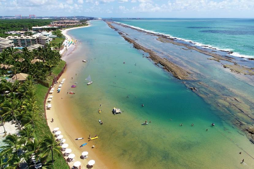
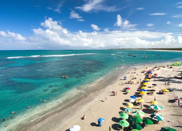
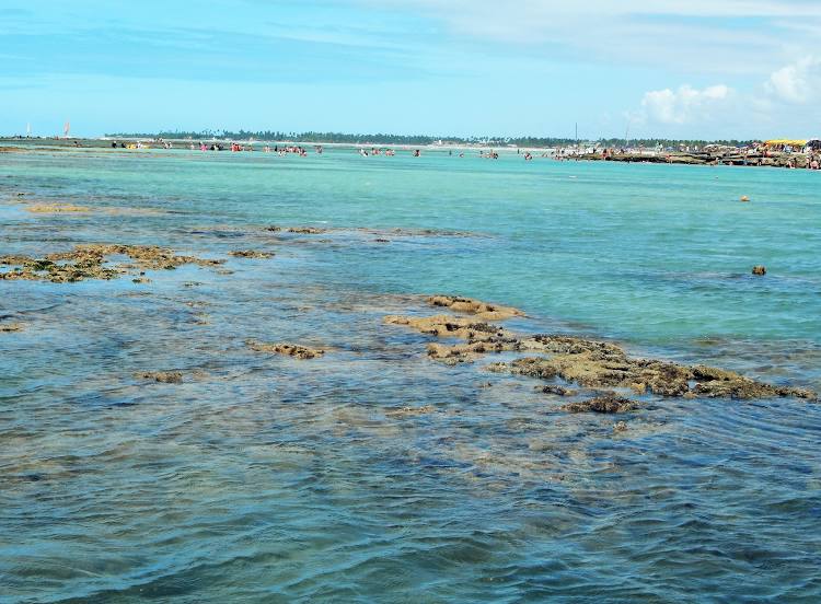
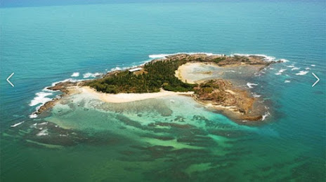
Passing cities through which the car route passes: Carolina, Balsas, São João dos Patos, Floriano, Oeiras, Peaks, Vila Nova do Piauí, Araripina, Ouricuri, Salgueiro, Serra Talhada, Custódia, Arcoverde, Alagoinha, São Caetano, Caruaru, Gravatá, Pombos, Escada.
Distance by plane
If you decide to take a trip Colinas do Tocantins Ipojuca by plane, then you have to fly the distance — 1477 km or 916 miles. It is marked on the map with a gray line (between two points in a straight line).
Flight time
Estimated flight time Colinas do Tocantins Ipojuca by plane at cruising speed 750 km / h will be — 1 h. and 58 min.
Direction of movement
Brazil, Colinas do Tocantins — right-hand traffic. Brazil, Ipojuca — right-hand traffic.
Difference in time
Colinas do Tocantins and Ipojuca are in the same time zone. Between them there is no time difference (UTC -3 America/Fortaleza).
Interesting Facts
Information on alternative ways to get to your destination.
The length of this distance is about 3.7% of the total length of the equator.
The percentage of the population is clearly shown in the graph:
Colinas do Tocantins — 24,474 (less by 28,890), Ipojuca — 53,364 residents.
The cost of travel
Calculate the cost of the trip yourself using the fuel consumption calculator, changing the data in the table.