
 Maureville
Samoëns
Gréning
Toulouse
Volx
Goudet
Méhoncourt
Saint-Hymer
Pontcarré
Maureville
Samoëns
Gréning
Toulouse
Volx
Goudet
Méhoncourt
Saint-Hymer
Pontcarré
Forêt Départementale des Flambertins on the map, Aubergenville, France
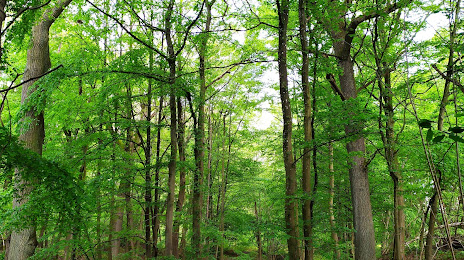
Photo
Where is located Forêt Départementale des Flambertins
Forêt Départementale des Flambertins — local attraction, which is located at no data and belongs to the category — -. Average visitor rating for this place — 4.5 (according to 13 ratings, information from open sources and relevant for 2022).
Exact location — Forêt Départementale des Flambertins, marked on the map with a red marker.
You can get directions to Forêt Départementale des Flambertins on the map from your location.
What else is interesting in Aubergenville? You can see all the sights if you go to the city page.
Coordinates
Forêt Départementale des Flambertins, France coordinates in decimal format: latitude — 48.895737556312675, longitude — 1.9340764297007043. When converted to degrees, minutes, seconds Forêt Départementale des Flambertins has the following coordinates: 48°53′44.66 north latitude and 1°56′2.68 east longitude.
Nearby cities
The largest cities that are located nearby:
- Boulogne-Billancourt — 31 km
- Rouen — 76 km
- Amiens — 108 km
- Orléans — 117 km
- Le Havre — 139 km
- Reims — 160 km
- Le Mans — 162 km
- Caen — 163 km
- Tours — 194 km
- Lille — 203 km
- Eastbourne
 (United Kingdom) — 228 km
 - Charleroi
 (Belgium) — 243 km
 - Angers — 244 km
- Namur (Belgium) — 270 km
- Brussels (Belgium) — 272 km
- Crawley (United Kingdom) — 277 km
- Rennes — 277 km
- Gillingham (United Kingdom) — 283 km
- Portsmouth (United Kingdom) — 291 km
Distance to the capital
Distance to the capital (Paris) is about — 31 km.