
 Maureville
Samoëns
Gréning
Toulouse
Volx
Goudet
Méhoncourt
Saint-Hymer
Pontcarré
Maureville
Samoëns
Gréning
Toulouse
Volx
Goudet
Méhoncourt
Saint-Hymer
Pontcarré
Parc départemental Georges-Valbon on the map, Soisy-sous-Montmorency, France
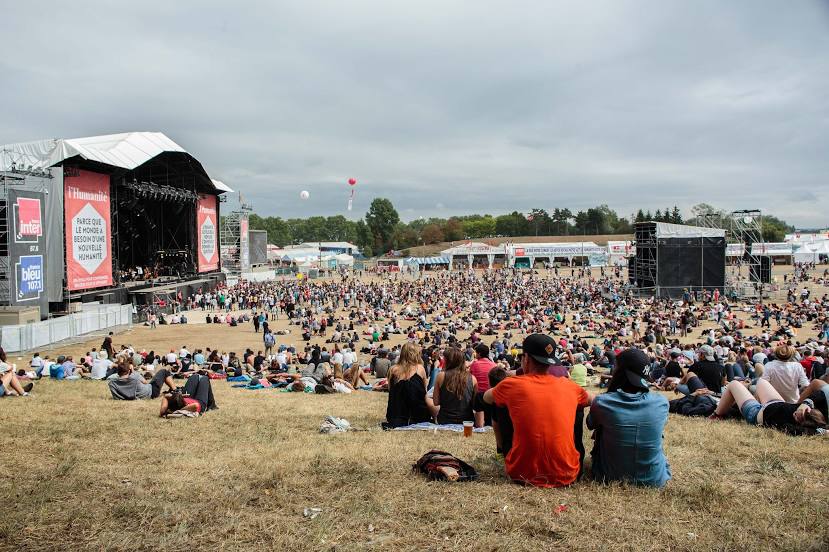
Photo
Where is located Parc départemental Georges-Valbon
Parc départemental Georges-Valbon — local attraction, which is located at 55 Av. Waldeck Rochet, 93120 La Courneuve, France and belongs to the category — park. Average visitor rating for this place — 4.5 (according to 6885 ratings, information from open sources and relevant for 2022).
Exact location — Parc départemental Georges-Valbon, marked on the map with a red marker.
You can get directions to Parc départemental Georges-Valbon on the map from your location.
What else is interesting in Soisy-sous-Montmorency? You can see all the sights if you go to the city page.
Coordinates
Parc départemental Georges-Valbon, France coordinates in decimal format: latitude — 48.988492222331715, longitude — 2.2997748531635693. When converted to degrees, minutes, seconds Parc départemental Georges-Valbon has the following coordinates: 48°59′18.57 north latitude and 2°17′59.19 east longitude.
Nearby cities
The largest cities that are located nearby:
- Boulogne-Billancourt — 17 km
- Rouen — 100 km
- Amiens — 100 km
- Orléans — 123 km
- Reims — 128 km
- Le Havre — 167 km
- Lille — 189 km
- Le Mans — 190 km
- Caen — 194 km
- Tours — 214 km
- Charleroi
 (Belgium) — 218 km
 - Eastbourne
 (United Kingdom) — 242 km
 - Namur (Belgium) — 244 km
- Brussels (Belgium) — 251 km
- Angers — 271 km
- Dijon — 276 km
- Metz — 281 km
- Nancy — 285 km
- Antwerp (Belgium) — 286 km
Distance to the capital
Distance to the capital (Paris) is about — 15 km.