
 Gilserberg
Berlin
Bordesholm
Bechtolsheim
Aub
Triptis
Heppenheim
Biblis
Angermünde
Gilserberg
Berlin
Bordesholm
Bechtolsheim
Aub
Triptis
Heppenheim
Biblis
Angermünde
Fränkischer Gebirgsweg on the map, Pegnitz, Germany
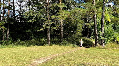
Photo
Where is located Fränkischer Gebirgsweg
Fränkischer Gebirgsweg — local attraction, which is located at 91257 Pegnitz, Germany and belongs to the category — hiking area. Average visitor rating for this place — 4.6 (according to 14 ratings, information from open sources and relevant for 2022).
Exact location — Fränkischer Gebirgsweg, marked on the map with a red marker.
You can get directions to Fränkischer Gebirgsweg on the map from your location.
What else is interesting in Pegnitz? You can see all the sights if you go to the city page.
Coordinates
Fränkischer Gebirgsweg, Germany coordinates in decimal format: latitude — 49.74986738459808, longitude — 11.5183462252556. When converted to degrees, minutes, seconds Fränkischer Gebirgsweg has the following coordinates: 49°44′59.52 north latitude and 11°31′6.05 east longitude.
Nearby cities
The largest cities that are located nearby:
- Erlangen — 42 km
- Nuremberg — 47 km
- Fürth — 50 km
- Regensburg — 91 km
- Ingolstadt — 109 km
- Würzburg — 114 km
- Gera — 131 km
- Pilsen
 (Czech Republic) — 131 km
 - Erfurt — 141 km
- Chemnitz — 153 km
- Augsburg — 160 km
- Munich — 179 km
- Heilbronn — 182 km
- Leipzig — 185 km
- Ulm — 188 km
- Offenbach — 200 km
- Stuttgart — 203 km
- Darmstadt — 207 km
- Frankfurt — 207 km
Distance to the capital
Distance to the capital (Berlin) is about — 335 km.