
 Gilserberg
Berlin
Bordesholm
Bechtolsheim
Aub
Triptis
Heppenheim
Biblis
Angermünde
Gilserberg
Berlin
Bordesholm
Bechtolsheim
Aub
Triptis
Heppenheim
Biblis
Angermünde
Volkskunde- und Freilichtmuseum Roscheiderhof on the map, Konz, Germany
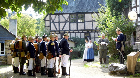
Photo
Where is located Volkskunde- und Freilichtmuseum Roscheiderhof
Volkskunde- und Freilichtmuseum Roscheiderhof — local attraction, which is located at Roscheiderhof 1, 54329 Konz, Germany and belongs to the category — museum. Average visitor rating for this place — 4.4 (according to 574 ratings, information from open sources and relevant for 2022).
Exact location — Volkskunde- und Freilichtmuseum Roscheiderhof, marked on the map with a red marker.
You can get directions to Volkskunde- und Freilichtmuseum Roscheiderhof on the map from your location.
What else is interesting in Konz? You can see all the sights if you go to the city page.
Coordinates
Volkskunde- und Freilichtmuseum Roscheiderhof, Germany coordinates in decimal format: latitude — 49.7043157553068, longitude — 6.596785625253922. When converted to degrees, minutes, seconds Volkskunde- und Freilichtmuseum Roscheiderhof has the following coordinates: 49°42′15.54 north latitude and 6°35′48.43 east longitude.
Nearby cities
The largest cities that are located nearby:
- Trier — 7 km
- Saarbrücken — 59 km
- Metz
 (France) — 71 km
 - Koblenz — 101 km
- Nancy (France) — 115 km
- Bonn — 120 km
- Mainz — 123 km
- Aachen — 124 km
- Wiesbaden — 125 km
- Liège
 (Belgium) — 125 km
 - Ludwigshafen — 136 km
- Mannheim — 137 km
- Cologne — 139 km
- Maastricht
 (Netherlands) — 142 km
 - Namur (Belgium) — 147 km
- Bergisch Gladbach — 148 km
- Darmstadt — 149 km
- Strasbourg (France) — 151 km
- Karlsruhe — 153 km
Distance to the capital
Distance to the capital (Berlin) is about — 569 km.