
 Gilserberg
Berlin
Bordesholm
Bechtolsheim
Aub
Triptis
Heppenheim
Biblis
Angermünde
Gilserberg
Berlin
Bordesholm
Bechtolsheim
Aub
Triptis
Heppenheim
Biblis
Angermünde
Kloster St. Gabriel on the map, Waltershausen, Germany
Photo
Where is located Kloster St. Gabriel
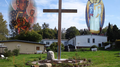
Kloster St. Gabriel — local attraction, which is located at Nicolaus-Brückner-Straße 20a, 99887 Georgenthal/Thüringer Wald, Germany and belongs to the category — monastery. Average visitor rating for this place — 4.5 (according to 35 ratings, information from open sources and relevant for 2022).
Exact location — Kloster St. Gabriel, marked on the map with a red marker.
You can get directions to Kloster St. Gabriel on the map from your location.
What else is interesting in Waltershausen? You can see all the sights if you go to the city page.
Coordinates
Kloster St. Gabriel, Germany coordinates in decimal format: latitude — 50.83836459037572, longitude — 10.62617882529495. When converted to degrees, minutes, seconds Kloster St. Gabriel has the following coordinates: 50°50′18.11 north latitude and 10°37′34.24 east longitude.
Nearby cities
The largest cities that are located nearby:
- Erfurt — 34 km
- Göttingen — 84 km
- Kassel — 88 km
- Gera — 106 km
- Würzburg — 130 km
- Leipzig — 134 km
- Salzgitter — 139 km
- Hildesheim — 145 km
- Erlangen — 148 km
- Brunswick — 151 km
- Magdeburg — 153 km
- Paderborn — 153 km
- Offenbach — 155 km
- Frankfurt — 159 km
- Fürth — 160 km
- Nuremberg — 164 km
- Chemnitz — 165 km
- Wolfsburg — 169 km
- Hanover — 172 km
Distance to the capital
Distance to the capital (Berlin) is about — 268 km.