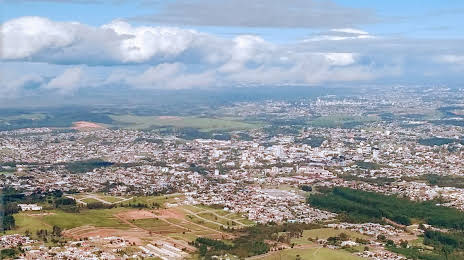
Fontoura Xavier — Quixabeira
Fontoura Xavier — Tucuruvi
Fontoura Xavier — Pedreira
Fontoura Xavier — Cachoeiras de Macacu
Fontoura Xavier — Aroeiras
Fontoura Xavier — Cuiaba
Fontoura Xavier — Petrolina
Fontoura Xavier — Itajaí
Fontoura Xavier — Araranguá
Fontoura Xavier — Planalto
Fontoura Xavier — Terra Roxa
Fontoura Xavier — Buri
Fontoura Xavier — Moju
Fontoura Xavier — Picuí
Fontoura Xavier — Governador Jorge Teixeira
Fontoura Xavier — Monte Sião
Fontoura Xavier — Cantanhede
Fontoura Xavier — Guaraniaçu
Fontoura Xavier — Erechim
Marques de Souza
Lajeado
Estrela
Bom Retiro do Sul
Montenegro
Ferroviário
Pareci Novo
Capela de Santana
Portão
Estância Velha
Novo Hamburgo
Novo Hamburgo
Fontoura Xavier — Campo Bom distance, route on the map
Distance by car
Distance between Fontoura Xavier, Rio Grande do Sul, Brazil and Campo Bom, Rio Grande do Sul, Brazil by car is — km, or miles. To travel this distance by car, you need minute, or h.
Route on the map, driving directions
Car route Fontoura Xavier — Campo Bom was created automatically. The road on the map is shown as a blue line. By moving the markers, you can create a new route through the points you need.
Passing cities through which the car route passes: Pouso Novo, Marques de Souza, Lajeado, Estrela, Bom Retiro do Sul, Montenegro, Ferroviário, Pareci Novo, Capela de Santana, Portão, Estância Velha, Novo Hamburgo, Novo Hamburgo.
Distance by plane
If you decide to take a trip Fontoura Xavier Campo Bom by plane, then you have to fly the distance — 146 km or 91 miles. It is marked on the map with a gray line (between two points in a straight line).
Flight time
Estimated flight time Fontoura Xavier Campo Bom by plane at cruising speed 750 km / h will be — 11 min.
Direction of movement
Brazil, Fontoura Xavier — right-hand traffic. Brazil, Campo Bom — right-hand traffic.
Difference in time
Fontoura Xavier and Campo Bom are in the same time zone. Between them there is no time difference (UTC -3 America/Sao_Paulo).
Interesting Facts
Information on alternative ways to get to your destination.
The length of this distance is about 0.4% of the total length of the equator.
The percentage of the population is clearly shown in the graph:
Fontoura Xavier — 11,944 (less by 42,818), Campo Bom — 54,762 residents.
The cost of travel
Calculate the cost of the trip yourself using the fuel consumption calculator, changing the data in the table.