
 Gilserberg
Berlin
Bordesholm
Bechtolsheim
Aub
Triptis
Heppenheim
Biblis
Angermünde
Gilserberg
Berlin
Bordesholm
Bechtolsheim
Aub
Triptis
Heppenheim
Biblis
Angermünde
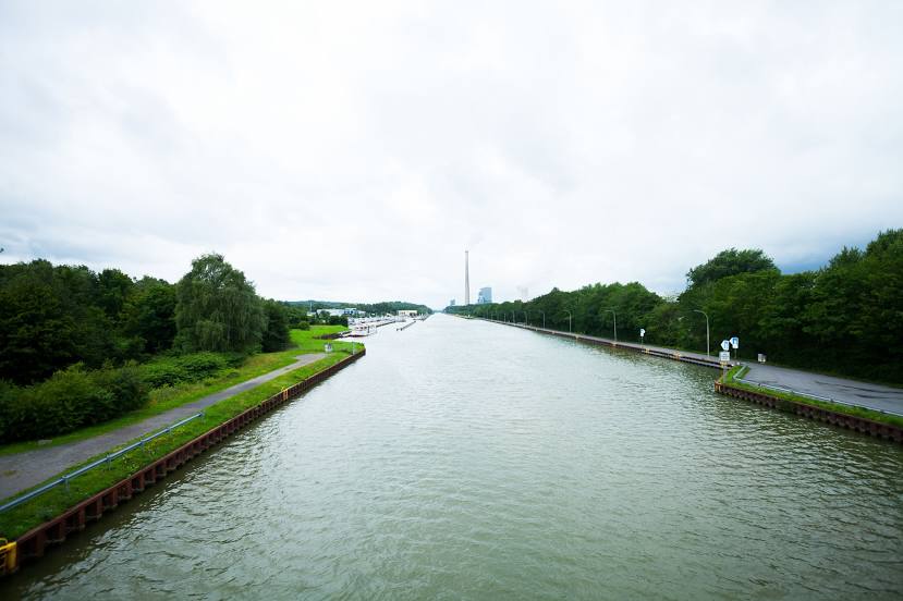
Datteln-Hamm Canal on the map, Ascheberg, Germany
Photo
Where is located Datteln-Hamm Canal
Datteln-Hamm Canal — local attraction, which is located at 47.2 km (29 mi) and belongs to the category — -. Average visitor rating for this place — 4.4 (according to 36 ratings, information from open sources and relevant for 2022).
Exact location — Datteln-Hamm Canal, marked on the map with a red marker.
You can get directions to Datteln-Hamm Canal on the map from your location.
What else is interesting in Ascheberg? You can see all the sights if you go to the city page.
Coordinates
Datteln-Hamm Canal, Germany coordinates in decimal format: latitude — 51.66514829406446, longitude — 7.326517261034992. When converted to degrees, minutes, seconds Datteln-Hamm Canal has the following coordinates: 51°39′54.53 north latitude and 7°19′35.46 east longitude.
Nearby cities
The largest cities that are located nearby:
- Hamm — 19 km
- Münster — 19 km
- Dortmund — 32 km
- Recklinghausen — 35 km
- Herne — 40 km
- Witten — 42 km
- Bochum — 44 km
- Gelsenkirchen — 47 km
- Hagen — 48 km
- Bottrop — 54 km
- Essen — 56 km
- Oberhausen — 61 km
- Osnabrück — 62 km
- Mülheim — 65 km
- Wuppertal — 67 km
- Bielefeld — 68 km
- Enschede
 (Netherlands) — 68 km
 - Duisburg — 71 km
- Remscheid — 74 km
Distance to the capital
Distance to the capital (Berlin) is about — 426 km.