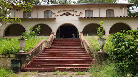
Marumbi — Caçador
Marumbi — State of Mato Grosso do Sul
Marumbi — Boa Vista
Marumbi — Anita Garibaldi
Marumbi — Ocara
Marumbi — Mossoro
Marumbi — Teresina
Marumbi — Condor
Marumbi — Anchieta
Marumbi — Paramirim
Marumbi — Pinheiro Machado
Marumbi — Tabuleiro do Norte
Marumbi — 35
Marumbi — Guapirama
Marumbi — Currais Novos
Marumbi — Itabirinha
Marumbi — Lajeado
Marumbi — Cianorte
Marumbi — Campina Grande
Jandaia do Sul
Mandaguari
Arapongas
Rolândia
Cambé
London
Alps
Ibiporã
Ibiporã
Jataìzinho
Uraí
Uraí
Cornélio Procópio
Bandeirantes
Andirá
Cambará
Ourinhos
Santa Cruz do Rio Pardo
Espírito Santo do Turvo
Piratininga
Bauru
Pederneiras
Boa Esperança do Sul
Américo Brasiliense
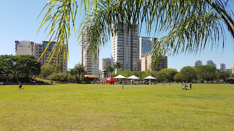
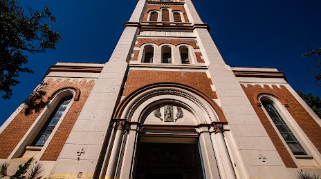
Ribeirão Preto
Marumbi — Caçador
Marumbi — State of Mato Grosso do Sul
Marumbi — Boa Vista
Marumbi — Anita Garibaldi
Marumbi — Ocara
Marumbi — Mossoro
Marumbi — Teresina
Marumbi — Condor
Marumbi — Anchieta
Marumbi — Paramirim
Marumbi — Pinheiro Machado
Marumbi — Tabuleiro do Norte
Marumbi — 35
Marumbi — Guapirama
Marumbi — Currais Novos
Marumbi — Itabirinha
Marumbi — Lajeado
Marumbi — Cianorte
Marumbi — Campina Grande
Jandaia do Sul
Mandaguari
Arapongas
Rolândia
Cambé
London
Alps
Ibiporã
Ibiporã
Jataìzinho
Uraí
Uraí
Cornélio Procópio
Bandeirantes
Andirá
Cambará
Ourinhos
Santa Cruz do Rio Pardo
Espírito Santo do Turvo
Piratininga
Bauru
Pederneiras
Boa Esperança do Sul
Américo Brasiliense
Ribeirão Preto
Marumbi — Ribeirão Preto distance, route on the map
Distance by car
Distance between Marumbi, Paraná, Brazil and Ribeirão Preto, São Paulo, Brazil by car is — km, or miles. To travel this distance by car, you need minute, or h.
Route on the map, driving directions
Car route Marumbi — Ribeirão Preto was created automatically. The road on the map is shown as a blue line. By moving the markers, you can create a new route through the points you need.
Passing cities through which the car route passes: Jandaia do Sul, Jandaia do Sul, Mandaguari, Arapongas, Rolândia, Cambé, London, Alps, Ibiporã, Ibiporã, Jataìzinho, Uraí, Uraí, Cornélio Procópio, Bandeirantes, Andirá, Cambará, Ourinhos, Santa Cruz do Rio Pardo, Espírito Santo do Turvo, Piratininga, Bauru, Pederneiras, Boa Esperança do Sul, Américo Brasiliense, Ribeirão Preto.
Distance by plane
If you decide to take a trip Marumbi Ribeirão Preto by plane, then you have to fly the distance — 484 km or 300 miles. It is marked on the map with a gray line (between two points in a straight line).
Flight time
Estimated flight time Marumbi Ribeirão Preto by plane at cruising speed 750 km / h will be — 38 min.
Direction of movement
Brazil, Marumbi — right-hand traffic. Brazil, Ribeirão Preto — right-hand traffic.
Difference in time
Marumbi and Ribeirão Preto are in the same time zone. Between them there is no time difference (UTC -3 America/Sao_Paulo).
Interesting Facts
Information on alternative ways to get to your destination.
The length of this distance is about 1.2% of the total length of the equator.
The percentage of the population is clearly shown in the graph:
Marumbi — 4,583 (less by 546,695), Ribeirão Preto — 551,278 residents.
The cost of travel
Calculate the cost of the trip yourself using the fuel consumption calculator, changing the data in the table.