Rio do Campo — Nova Petrópolis
Rio do Campo — Sítio das Chagas
Rio do Campo — Belo Horizonte
Rio do Campo — Catanduvas
Rio do Campo — Rio Formoso
Rio do Campo — Formiga
Rio do Campo — Una
Rio do Campo — Colinas do Tocantins
Rio do Campo — Inconfidentes
Rio do Campo — Sousas
Rio do Campo — Assis Brasil
Rio do Campo — Santa Rosa
Rio do Campo — Satuba
Rio do Campo — Santa Cruz da Conceição
Rio do Campo — Piúma
Rio do Campo — Sabará
Rio do Campo — São Paulo
Rio do Campo — Santo Ângelo
Rio do Campo — Tibau
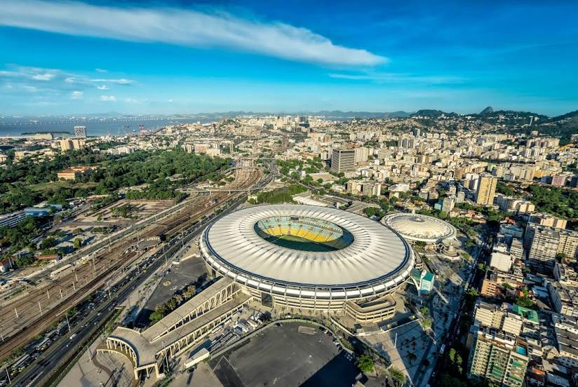
Rio do Campo — Rio de Janeiro distance, route on the map
Distance by car
Distance between Rio do Campo, Santa Catarina, Brazil and Rio de Janeiro, State of Rio de Janeiro, Brazil by car is — km, or miles. To travel this distance by car, you need minute, or h.
Route on the map, driving directions
Car route Rio do Campo — Rio de Janeiro was created automatically. The road on the map is shown as a blue line. By moving the markers, you can create a new route through the points you need.
Distance by plane
If you decide to take a trip Rio do Campo Rio de Janeiro by plane, then you have to fly the distance — 834 km or 517 miles. It is marked on the map with a gray line (between two points in a straight line).
Flight time
Estimated flight time Rio do Campo Rio de Janeiro by plane at cruising speed 750 km / h will be — 1 h. and 6 min.
Direction of movement
Brazil, Rio do Campo — right-hand traffic. Brazil, Rio de Janeiro — right-hand traffic.
Difference in time
Rio do Campo and Rio de Janeiro are in the same time zone. Between them there is no time difference (UTC -3 America/Sao_Paulo).
Interesting Facts
Information on alternative ways to get to your destination.
The length of this distance is about 2.1% of the total length of the equator.
The percentage of the population is clearly shown in the graph:
Rio do Campo — 6,578 (less by 6,017,164), Rio de Janeiro — 6,023,742 residents.
The cost of travel
Calculate the cost of the trip yourself using the fuel consumption calculator, changing the data in the table.