Nerchau — Seppensen
Nerchau — Loßburg
Nerchau — Gomaringen
Nerchau — Niederschlettenbach
Nerchau — Alsenborn
Nerchau — Untergriesbach
Nerchau — Minden
Nerchau — Nieheim
Nerchau — Zell
Nerchau — Neu Roggentin
Nerchau — Rennertshofen
Nerchau — Duisburg
Nerchau — Vollbüttel
Nerchau — Weichs
Nerchau — Zimmernsupra
Nerchau — Friedenweiler
Nerchau — Suhlendorf
Nerchau — Ohrdruf
Nerchau — Lemke
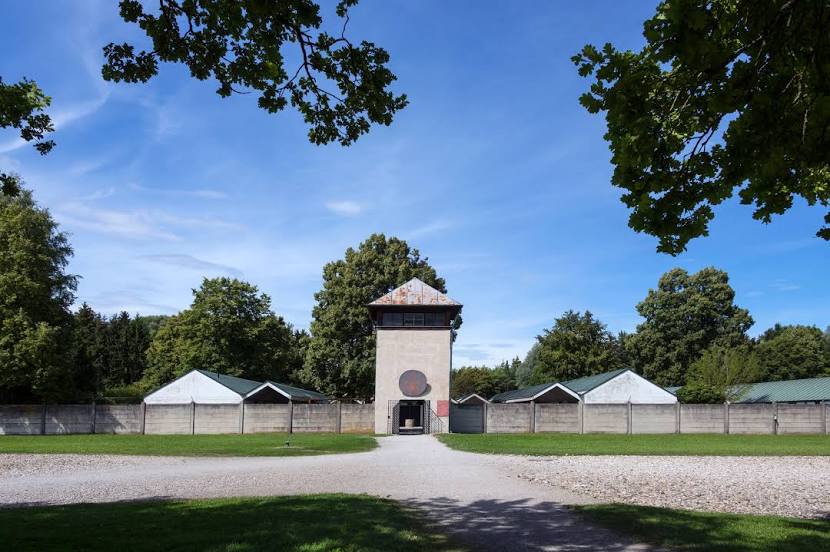
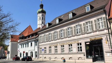
Nerchau — Dachau distance, route on the map
Distance by car
Distance between Nerchau, Saxony, Germany and Dachau, Bavaria, Germany by car is — km, or miles. To travel this distance by car, you need minute, or h.
Route on the map, driving directions
Car route Nerchau — Dachau was created automatically. The road on the map is shown as a blue line. By moving the markers, you can create a new route through the points you need.
Distance by plane
If you decide to take a trip Nerchau Dachau by plane, then you have to fly the distance — 349 km or 216 miles. It is marked on the map with a gray line (between two points in a straight line).
Flight time
Estimated flight time Nerchau Dachau by plane at cruising speed 750 km / h will be — 27 min.
Direction of movement
Germany, Nerchau — right-hand traffic. Germany, Dachau — right-hand traffic.
Difference in time
Nerchau and Dachau are in the same time zone. Between them there is no time difference (UTC +2 Europe/Berlin).
Interesting Facts
Information on alternative ways to get to your destination.
The length of this distance is about 0.9% of the total length of the equator.
The percentage of the population is clearly shown in the graph:
Nerchau — 4,073 (less by 35,742), Dachau — 39,815 residents.
The cost of travel
Calculate the cost of the trip yourself using the fuel consumption calculator, changing the data in the table.