
 Boceguillas
Piedrahíta
Novales
Lapuebla Labarka
Comunion
Olazti
Cantalapiedra
Vilafranca de Bonany
Colina
Vilaller
Rupit
Canfranc
Santacara
Valdealgorfa
Ferreira
Zafarraya
Vellisca
Golmayo
Tormantos
Boceguillas
Piedrahíta
Novales
Lapuebla Labarka
Comunion
Olazti
Cantalapiedra
Vilafranca de Bonany
Colina
Vilaller
Rupit
Canfranc
Santacara
Valdealgorfa
Ferreira
Zafarraya
Vellisca
Golmayo
Tormantos
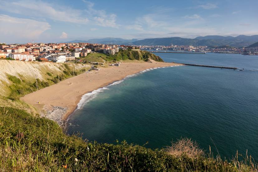
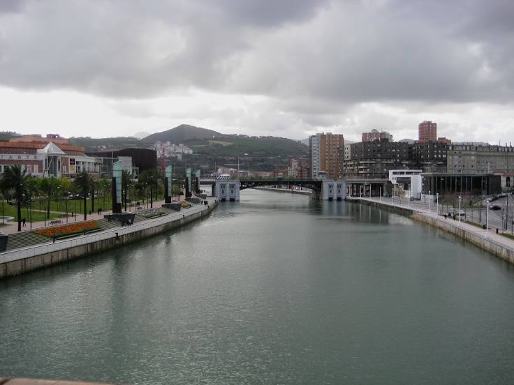
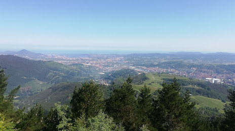
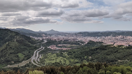
Barakaldo on the map, Spain
Where is located Barakaldo
Exact location — Barakaldo, Bizkaia, Euskadi, Spain, marked on the map with a red marker.
Coordinates
Barakaldo, Spain coordinates in decimal format: latitude — 43.2969875, longitude — -2.9862029. When converted to degrees, minutes, seconds Barakaldo has the following coordinates: 43°17′49.16 north latitude and -2°59′10.33 east longitude.
Population
Barakaldo, Bizkaia, Euskadi, Spain, according to our data the population is — 98,460 residents, which is about 0.2% of the total population of the country (Spain).
Comparison of the population on the graph:
Exact time
Time zone for this location Barakaldo — UTC +2 Europe/Madrid. Exact time — saturday, 5 may 2024 year, 17 h. 33 minutes.
Sunrise and sunset
Barakaldo, sunrise and sunset data for a date — saturday 4.05.2024.
| Sunrise | Sunset | Day (duration) |
|---|---|---|
| 07:03 -1 minute | 21:13 +1 minute | 14 h. 12 minutes. +2 minutes |
You can control the scale of the map using the auxiliary tools to find out exactly where it is located Barakaldo. When you change the scale of the map, the width of the ruler also changes (in kilometers and miles).
Nearby cities
The largest cities that are located nearby:
- Bilbao — 6 km
- Vitoria-Gasteiz — 54 km
- Santander — 69 km
- San Sebastián — 81 km
- Logroño — 102 km
- Burgos — 120 km
- Pamplona — 121 km
- Gijón — 216 km
- León — 224 km
- Oviedo — 230 km
- Valladolid — 232 km
- Zaragoza — 251 km
- Bordeaux
 (France) — 254 km
 - Alcobendas — 310 km
- Alcala de Henares — 313 km
- Torrejón de Ardoz — 317 km
- Alcorcón — 334 km
- Leganés — 334 km
- Getafe — 336 km
Distance to neighboring capitals:
- Andorra la Vella
 (Andorra) — 378 km
 - Lisbon
 (Portugal) — 725 km
 - Paris (France) — 743 km
- Paris (France) — 743 km
- Rabat
 (Morocco) — 1090 km
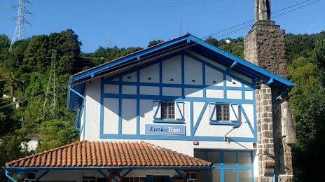
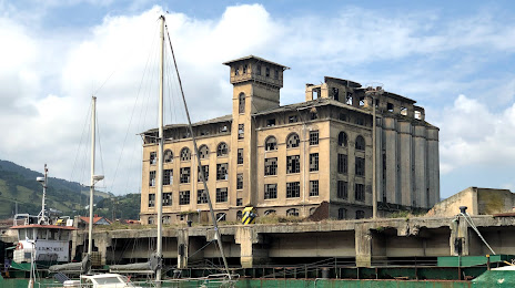
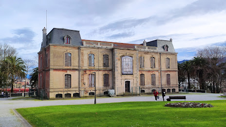
Attractions


Distance to the capital
Distance to the capital (Madrid) is about — 326 km.