Nizhniy Ufaley — Dzhankoi
Nizhniy Ufaley — Aleksandrovka
Nizhniy Ufaley — Kovylkino
Nizhniy Ufaley — Okhotskiy
Nizhniy Ufaley — Sinyavskoye
Nizhniy Ufaley — Palkinsky District
Nizhniy Ufaley — Kugunur
Nizhniy Ufaley — Ogni
Nizhniy Ufaley — Yelabuga
Nizhniy Ufaley — Yagodnoye
Nizhniy Ufaley — Ryadovo
Nizhniy Ufaley — Achinsk
Nizhniy Ufaley — Vereya
Nizhniy Ufaley — Severnyy
Nizhniy Ufaley — Nesterov
Nizhniy Ufaley — Nagornyy
Nizhniy Ufaley — Popov
Nizhniy Ufaley — Azov
Nizhniy Ufaley — Staraya Ladoga
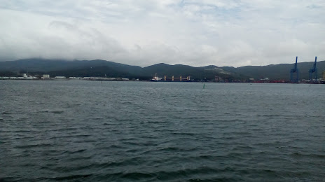
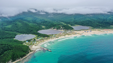
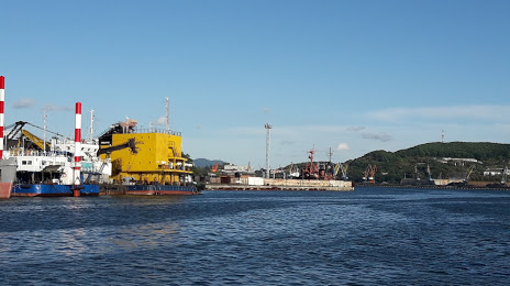
Nizhniy Ufaley — Nakhodka distance, route on the map
Distance by car
Distance between Nizhniy Ufaley, Chelyabinskaya oblast', Russian Federation and Nakhodka, Primorsky Krai, Russian Federation by car is — km, or miles. To travel this distance by car, you need minute, or h.
Route on the map, driving directions
Car route Nizhniy Ufaley — Nakhodka was created automatically. The road on the map is shown as a blue line. By moving the markers, you can create a new route through the points you need.
Distance by plane
If you decide to take a trip Nizhniy Ufaley Nakhodka by plane, then you have to fly the distance — 5211 km or 3231 miles. It is marked on the map with a gray line (between two points in a straight line).
Flight time
Estimated flight time Nizhniy Ufaley Nakhodka by plane at cruising speed 750 km / h will be — 6 h. and 56 min.
Direction of movement
Russian Federation, Nizhniy Ufaley — right-hand traffic. Russian Federation, Nakhodka — right-hand traffic.
Difference in time
Nizhniy Ufaley and Nakhodka are in different time zones. The time difference is 5 hours (UTC +5 Asia/Yekaterinburg, UTC +10 Asia/Vladivostok).
Interesting Facts
Information on alternative ways to get to your destination.
The length of this distance is about 13.0% of the total length of the equator.
The percentage of the population is clearly shown in the graph:
Nizhniy Ufaley — 2,818 (less by 144,104), Nakhodka — 146,922 residents.
The cost of travel
Calculate the cost of the trip yourself using the fuel consumption calculator, changing the data in the table.