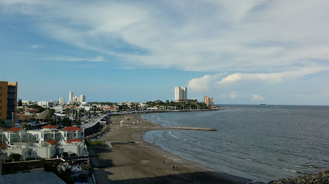
Calderitas — Good view
Calderitas — Abasolo
Calderitas — Ocozocoautla de Espinosa
Calderitas — Tlaxcala
Calderitas — La Ballena
Calderitas — Querétaro International Airport
Calderitas — Saint Charles
Calderitas — Contepec
Calderitas — Nazareno Etla
Calderitas — Huandacareo
Calderitas — Oaxaca
Calderitas — Mariano Matamoros
Calderitas — Saltillo
Calderitas — Tlaquepaque
Calderitas — Heroica Ciudad de Ejutla de Crespo
Calderitas — Naranjos
Calderitas — Janos
Calderitas — Villa Ahumada
Calderitas — The Ramones
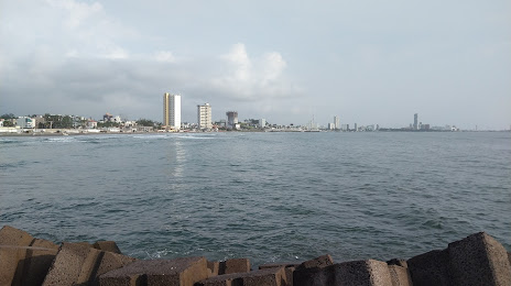
Calderitas — Boca del Río distance, route on the map
Distance by car
Distance between Calderitas, Quintana Roo, Mexico and Boca del Río, Veracruz, Mexico by car is — km, or miles. To travel this distance by car, you need minute, or h.
Route on the map, driving directions
Car route Calderitas — Boca del Río was created automatically. The road on the map is shown as a blue line. By moving the markers, you can create a new route through the points you need.
Distance by plane
If you decide to take a trip Calderitas Boca del Río by plane, then you have to fly the distance — 828 km or 513 miles. It is marked on the map with a gray line (between two points in a straight line).
Flight time
Estimated flight time Calderitas Boca del Río by plane at cruising speed 750 km / h will be — 1 h. and 6 min.
Direction of movement
Mexico, Calderitas — right-hand traffic. Mexico, Boca del Río — right-hand traffic.
Difference in time
Calderitas and Boca del Río are in different time zones. The time difference is 1 hour (UTC -5 America/Cancun, UTC -6 America/Mexico_City).
Interesting Facts
Information on alternative ways to get to your destination.
The length of this distance is about 2.1% of the total length of the equator.
The percentage of the population is clearly shown in the graph:
Calderitas — 5,599 (less by 5,500), Boca del Río — 11,099 residents.
The cost of travel
Calculate the cost of the trip yourself using the fuel consumption calculator, changing the data in the table.