Campo Florido — Pocinhos
Campo Florido — Airport Santa Maria
Campo Florido — Paraty
Campo Florido — Bairro Trem
Campo Florido — Barretos
Campo Florido — Bela Cruz
Campo Florido — Rolante
Campo Florido — Paranacity
Campo Florido — Frei Inocêncio
Campo Florido — Astorga
Campo Florido — Nova Independência
Campo Florido — Rio Pardo
Campo Florido — Uru
Campo Florido — Guiricema
Campo Florido — Palmas
Campo Florido — Alvinópolis
Campo Florido — Queimados
Campo Florido — Chavantes
Campo Florido — Marília
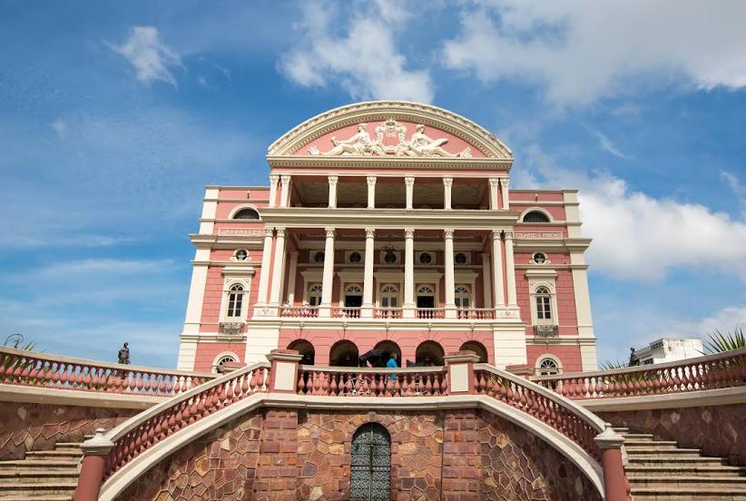
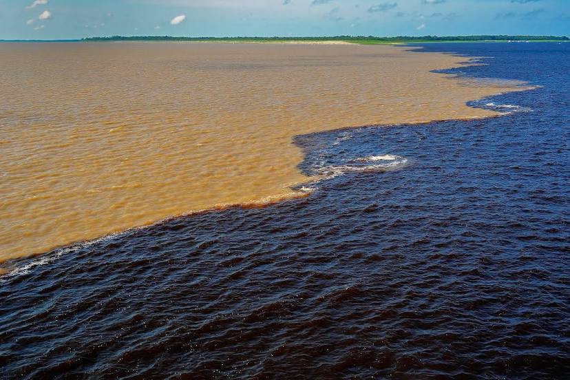
Campo Florido — Manaus distance, route on the map
Distance by car
Distance between Campo Florido, Minas Gerais, Brazil and Manaus, Amazonas, Brazil by car is — km, or miles. To travel this distance by car, you need minute, or h.
Route on the map, driving directions
Car route Campo Florido — Manaus was created automatically. The road on the map is shown as a blue line. By moving the markers, you can create a new route through the points you need.
Distance by plane
If you decide to take a trip Campo Florido Manaus by plane, then you have to fly the distance — 2230 km or 1383 miles. It is marked on the map with a gray line (between two points in a straight line).
Flight time
Estimated flight time Campo Florido Manaus by plane at cruising speed 750 km / h will be — 2 h. and 58 min.
Direction of movement
Brazil, Campo Florido — right-hand traffic. Brazil, Manaus — right-hand traffic.
Difference in time
Campo Florido and Manaus are in different time zones. The time difference is 1 hour (UTC -3 America/Sao_Paulo, UTC -4 America/Boa_Vista).
Interesting Facts
Information on alternative ways to get to your destination.
The length of this distance is about 5.6% of the total length of the equator.
The percentage of the population is clearly shown in the graph:
Campo Florido — 4,649 (less by 1,593,578), Manaus — 1,598,227 residents.
The cost of travel
Calculate the cost of the trip yourself using the fuel consumption calculator, changing the data in the table.