
 زفتى
Qesm Hurghada
Gazirat Muhammad
Qesm Nakhl
Om Sabir Village
6th of October City
Cairo Governorate
Qism Sidi Gabir
Ezbet Hussein Salamah
زفتى
Qesm Hurghada
Gazirat Muhammad
Qesm Nakhl
Om Sabir Village
6th of October City
Cairo Governorate
Qism Sidi Gabir
Ezbet Hussein Salamah
معبد أتريبس on the map, Sohag, Egypt
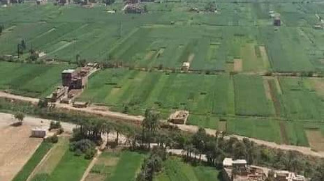
Photo
Where is located معبد أتريبس
معبد أتريبس — local attraction, which is located at Unnamed Road, سوهاج،، Egypt and belongs to the category — historical landmark. Average visitor rating for this place — 4.7 (according to 6 ratings, information from open sources and relevant for 2022).
Exact location — معبد أتريبس, marked on the map with a red marker.
You can get directions to معبد أتريبس on the map from your location.
What else is interesting in Sohag? You can see all the sights if you go to the city page.
Coordinates
معبد أتريبس, Egypt coordinates in decimal format: latitude — 26.51130618034458, longitude — 31.665508824585824. When converted to degrees, minutes, seconds معبد أتريبس has the following coordinates: 26°30′40.7 north latitude and 31°39′55.83 east longitude.
Nearby cities
The largest cities that are located nearby:
- Asyut — 85 km
- Qena — 111 km
- Luxor — 135 km
- Mallawi — 154 km
- Beni Suef — 283 km
- Aswan — 299 km
- Suez — 386 km
- Qalyub — 403 km
- Banha — 435 km
- Zagazig — 445 km
- Ismailia — 450 km
- Talkha — 498 km
- Tabuk
 (Saudi Arabia) — 516 km
 - Port Said — 523 km
- Alexandria — 540 km
- Idku — 541 km
- Ashqelon
 (Israel) — 627 km
 - Ashdod (Israel) — 643 km
- Jerusalem (Israel) — 664 km
Distance to the capital
Distance to the capital (Cairo) is about — 395 km.