
 Gilserberg
Berlin
Bordesholm
Bechtolsheim
Aub
Triptis
Heppenheim
Biblis
Angermünde
Gilserberg
Berlin
Bordesholm
Bechtolsheim
Aub
Triptis
Heppenheim
Biblis
Angermünde
Naturpark Sauerland-Rothaargebirge on the map, Schmallenberg, Germany
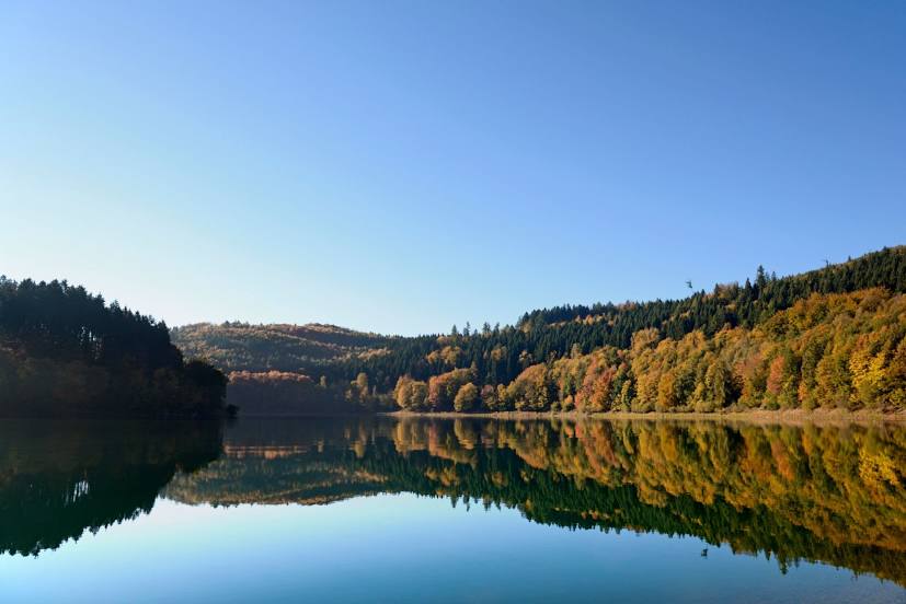
Photo
Where is located Naturpark Sauerland-Rothaargebirge
Naturpark Sauerland-Rothaargebirge — local attraction, which is located at Johannes-Hummel-Weg 2, 57392 Schmallenberg, Germany and belongs to the category — national reserve. Average visitor rating for this place — 4.7 (according to 238 ratings, information from open sources and relevant for 2022).
Exact location — Naturpark Sauerland-Rothaargebirge, marked on the map with a red marker.
You can get directions to Naturpark Sauerland-Rothaargebirge on the map from your location.
What else is interesting in Schmallenberg? You can see all the sights if you go to the city page.
Coordinates
Naturpark Sauerland-Rothaargebirge, Germany coordinates in decimal format: latitude — 51.18938719987337, longitude — 8.311323647246088. When converted to degrees, minutes, seconds Naturpark Sauerland-Rothaargebirge has the following coordinates: 51°11′21.79 north latitude and 8°18′40.77 east longitude.
Nearby cities
The largest cities that are located nearby:
- Siegen — 35 km
- Hagen — 62 km
- Hamm — 66 km
- Dortmund — 69 km
- Paderborn — 70 km
- Witten — 72 km
- Remscheid — 76 km
- Wuppertal — 80 km
- Bochum — 82 km
- Bergisch Gladbach — 83 km
- Solingen — 84 km
- Kassel — 84 km
- Herne — 86 km
- Recklinghausen — 91 km
- Gelsenkirchen — 92 km
- Essen — 94 km
- Bonn — 95 km
- Cologne — 96 km
- Bielefeld — 98 km
Distance to the capital
Distance to the capital (Berlin) is about — 380 km.