
 Gilserberg
Berlin
Bordesholm
Bechtolsheim
Aub
Triptis
Heppenheim
Biblis
Angermünde
Gilserberg
Berlin
Bordesholm
Bechtolsheim
Aub
Triptis
Heppenheim
Biblis
Angermünde
Fürstenberg-Maar on the map, Hürth, Germany
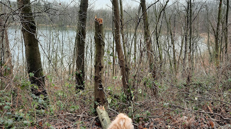
Photo
Where is located Fürstenberg-Maar
Fürstenberg-Maar — local attraction, which is located at no data and belongs to the category — -. Average visitor rating for this place — 5.0 (according to 4 ratings, information from open sources and relevant for 2022).
Exact location — Fürstenberg-Maar, marked on the map with a red marker.
You can get directions to Fürstenberg-Maar on the map from your location.
What else is interesting in Hürth? You can see all the sights if you go to the city page.
Coordinates
Fürstenberg-Maar, Germany coordinates in decimal format: latitude — 50.881628796409885, longitude — 6.768547747201137. When converted to degrees, minutes, seconds Fürstenberg-Maar has the following coordinates: 50°52′53.86 north latitude and 6°46′6.77 east longitude.
Nearby cities
The largest cities that are located nearby:
- Cologne — 8 km
- Bergisch Gladbach — 21 km
- Bonn — 22 km
- Solingen — 35 km
- Neuss — 38 km
- Remscheid — 39 km
- Düsseldorf — 39 km
- Mönchengladbach — 45 km
- Wuppertal — 45 km
- Krefeld — 55 km
- Aachen — 57 km
- Mülheim — 59 km
- Duisburg — 62 km
- Essen — 64 km
- Moers — 65 km
- Hagen — 67 km
- Oberhausen — 68 km
- Witten — 70 km
- Bochum — 70 km
Distance to the capital
Distance to the capital (Berlin) is about — 492 km.