
 Puerto de la Duquesa
La Serna de Iguña
Pumalverde
Puentenansa
La Iglesia
Casar de Periedo
Fuengirola
Renedo de Piélagos
Villabanez
Puerto de la Duquesa
La Serna de Iguña
Pumalverde
Puentenansa
La Iglesia
Casar de Periedo
Fuengirola
Renedo de Piélagos
Villabanez
Alianza Park on the map, Torrelavega, Spain
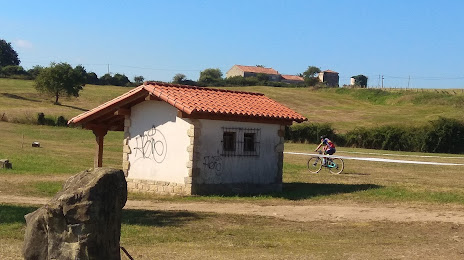
Photo
Where is located Alianza Park
Alianza Park — local attraction, which is located at 39314 Santillana del Mar, Cantabria, Spain and belongs to the category — city park. Average visitor rating for this place — 4.4 (according to 539 ratings, information from open sources and relevant for 2022).
Exact location — Alianza Park, marked on the map with a red marker.
You can get directions to Alianza Park on the map from your location.
What else is interesting in Torrelavega? You can see all the sights if you go to the city page.
Coordinates
Alianza Park, Spain coordinates in decimal format: latitude — 43.39075599493814, longitude — -4.059678574961333. When converted to degrees, minutes, seconds Alianza Park has the following coordinates: 43°23′26.72 north latitude and -4°3′34.84 east longitude.
Nearby cities
The largest cities that are located nearby:
- Santander — 23 km
- Bilbao — 90 km
- Burgos — 115 km
- Vitoria-Gasteiz — 123 km
- Gijón — 131 km
- Oviedo — 145 km
- León — 149 km
- Logroño — 164 km
- San Sebastián — 166 km
- Valladolid — 196 km
- Pamplona — 204 km
- Salamanca — 295 km
- Alcobendas — 313 km
- Bordeaux
 (France) — 318 km
 - Zaragoza — 322 km
- Alcala de Henares — 322 km
- Torrejón de Ardoz — 323 km
- Ourense — 331 km
- Alcorcón — 332 km
Distance to the capital
Distance to the capital (Madrid) is about — 332 km.