Santo Antônio de Pádua — Fernando Prestes
Santo Antônio de Pádua — Videira
Santo Antônio de Pádua — Iguaba Grande
Santo Antônio de Pádua — Butantã
Santo Antônio de Pádua — Rio Bonito
Santo Antônio de Pádua — Ibitinga
Santo Antônio de Pádua — Itapetininga
Santo Antônio de Pádua — Pratinha
Santo Antônio de Pádua — Glorinha
Santo Antônio de Pádua — Cabo Verde
Santo Antônio de Pádua — Bairro Novo
Santo Antônio de Pádua — Morro Agudo
Santo Antônio de Pádua — Alto Santo
Santo Antônio de Pádua — Veranópolis
Santo Antônio de Pádua — Ecoporanga
Santo Antônio de Pádua — Eusébio
Santo Antônio de Pádua — Santana
Santo Antônio de Pádua — Parobé
Santo Antônio de Pádua — Jaguari
Bom Jesus do Norte
Rio Novo do Sul
Iconha
Alfredo Chaves
Pau d'Óleo
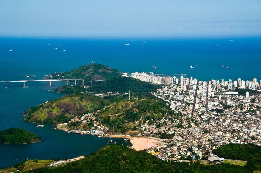
Guarapari
Santo Antônio de Pádua — Fernando Prestes
Santo Antônio de Pádua — Videira
Santo Antônio de Pádua — Iguaba Grande
Santo Antônio de Pádua — Butantã
Santo Antônio de Pádua — Rio Bonito
Santo Antônio de Pádua — Ibitinga
Santo Antônio de Pádua — Itapetininga
Santo Antônio de Pádua — Pratinha
Santo Antônio de Pádua — Glorinha
Santo Antônio de Pádua — Cabo Verde
Santo Antônio de Pádua — Bairro Novo
Santo Antônio de Pádua — Morro Agudo
Santo Antônio de Pádua — Alto Santo
Santo Antônio de Pádua — Veranópolis
Santo Antônio de Pádua — Ecoporanga
Santo Antônio de Pádua — Eusébio
Santo Antônio de Pádua — Santana
Santo Antônio de Pádua — Parobé
Santo Antônio de Pádua — Jaguari
Bom Jesus do Norte
Rio Novo do Sul
Iconha
Alfredo Chaves
Pau d'Óleo
Guarapari
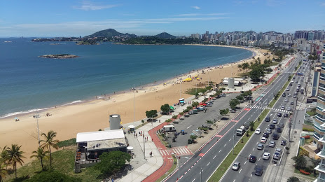
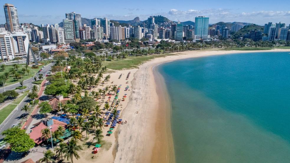
Santo Antônio de Pádua — Vila Velha distance, route on the map
Distance by car
Distance between Santo Antônio de Pádua, Rio de Janeiro, Brazil and Vila Velha, Espírito Santo, Brazil by car is — km, or miles. To travel this distance by car, you need minute, or h.
Route on the map, driving directions
Car route Santo Antônio de Pádua — Vila Velha was created automatically. The road on the map is shown as a blue line. By moving the markers, you can create a new route through the points you need.
Passing cities through which the car route passes: Bom Jesus do Itabapoana, Bom Jesus do Norte, Rio Novo do Sul, Iconha, Alfredo Chaves, Pau d'Óleo, Guarapari.
Distance by plane
If you decide to take a trip Santo Antônio de Pádua Vila Velha by plane, then you have to fly the distance — 237 km or 147 miles. It is marked on the map with a gray line (between two points in a straight line).
Flight time
Estimated flight time Santo Antônio de Pádua Vila Velha by plane at cruising speed 750 km / h will be — 18 min.
Direction of movement
Brazil, Santo Antônio de Pádua — right-hand traffic. Brazil, Vila Velha — right-hand traffic.
Difference in time
Santo Antônio de Pádua and Vila Velha are in the same time zone. Between them there is no time difference (UTC -3 America/Sao_Paulo).
Interesting Facts
Information on alternative ways to get to your destination.
The length of this distance is about 0.6% of the total length of the equator.
The percentage of the population is clearly shown in the graph:
Santo Antônio de Pádua — 33,076 (less by 361,861), Vila Velha — 394,937 residents.
The cost of travel
Calculate the cost of the trip yourself using the fuel consumption calculator, changing the data in the table.