Peto — Villa Guerrero
Peto — Tepetlaoxtoc
Peto — Mama
Peto — Ahuehuetzingo
Peto — Xpu Ha
Peto — San Nicolás Peralta
Peto — Cadereyta
Peto — El Refugio
Peto — Guaxcama
Peto — Reform
Peto — Amatepec
Peto — Cosolapa
Peto — Tultitlán
Peto — Luis Moya
Peto — El Tejocote
Peto — Tehuacán
Peto — Juriquilla
Peto — Tepetzintla
Peto — Santo Domingo
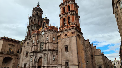
Peto — San Luis Potosi distance, route on the map
Distance by car
Distance between Peto, Yucatán, Mexico and San Luis Potosi, San Luis Potosi, Mexico by car is — km, or miles. To travel this distance by car, you need minute, or h.
Route on the map, driving directions
Car route Peto — San Luis Potosi was created automatically. The road on the map is shown as a blue line. By moving the markers, you can create a new route through the points you need.
Distance by plane
If you decide to take a trip Peto San Luis Potosi by plane, then you have to fly the distance — 1271 km or 788 miles. It is marked on the map with a gray line (between two points in a straight line).
Flight time
Estimated flight time Peto San Luis Potosi by plane at cruising speed 750 km / h will be — 1 h. and 41 min.
Direction of movement
Mexico, Peto — right-hand traffic. Mexico, San Luis Potosi — right-hand traffic.
Difference in time
Peto and San Luis Potosi are in the same time zone. Between them there is no time difference (UTC -6 America/Mexico_City).
Interesting Facts
Information on alternative ways to get to your destination.
The length of this distance is about 3.2% of the total length of the equator.
The percentage of the population is clearly shown in the graph:
Peto — 17,607 (less by 660,119), San Luis Potosi — 677,726 residents.
The cost of travel
Calculate the cost of the trip yourself using the fuel consumption calculator, changing the data in the table.