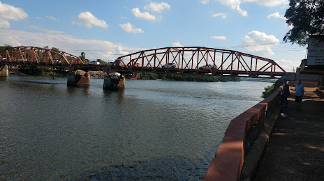
Santa Rita do Araguaia — Rio Branco
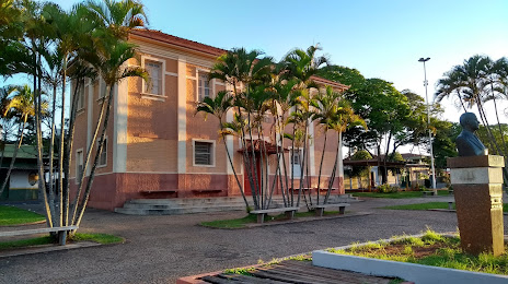
Santa Rita do Araguaia — Nova Aurora
Santa Rita do Araguaia — Encruzilhada do Sul
Santa Rita do Araguaia — Santo Antônio do Paraíso
Santa Rita do Araguaia — Iranduba
Santa Rita do Araguaia — Santa Cruz Cabrália
Santa Rita do Araguaia — Boquira
Santa Rita do Araguaia — Eduardo Gomes International Airport
Santa Rita do Araguaia — Alto Rio Doce
Santa Rita do Araguaia — Amazon
Santa Rita do Araguaia — Venâncio Aires
Santa Rita do Araguaia — Rodeiro
Santa Rita do Araguaia — Queiroz
Santa Rita do Araguaia — Martins Soares
Santa Rita do Araguaia — Penedo
Santa Rita do Araguaia — Amapá
Santa Rita do Araguaia — Maracajá
Santa Rita do Araguaia — Paranaguá
Santa Rita do Araguaia — Tabira
Paranaíba
Santa Clara D'Oeste
Santa Fé do Sul
Urânia
Jales
Estrela D'Oeste
Valentim Gentil
Cosmorama
Tanabi
Mirassol
Sao Jose de Rio Preto
Cedral
Uchoa
Catanduva
Pindorama
Santa Adélia
Matão
Boa Esperança do Sul
Santa Rita do Araguaia — Rio Branco
Santa Rita do Araguaia — Nova Aurora
Santa Rita do Araguaia — Encruzilhada do Sul
Santa Rita do Araguaia — Santo Antônio do Paraíso
Santa Rita do Araguaia — Iranduba
Santa Rita do Araguaia — Santa Cruz Cabrália
Santa Rita do Araguaia — Boquira
Santa Rita do Araguaia — Eduardo Gomes International Airport
Santa Rita do Araguaia — Alto Rio Doce
Santa Rita do Araguaia — Amazon
Santa Rita do Araguaia — Venâncio Aires
Santa Rita do Araguaia — Rodeiro
Santa Rita do Araguaia — Queiroz
Santa Rita do Araguaia — Martins Soares
Santa Rita do Araguaia — Penedo
Santa Rita do Araguaia — Amapá
Santa Rita do Araguaia — Maracajá
Santa Rita do Araguaia — Paranaguá
Santa Rita do Araguaia — Tabira
Paranaíba
Santa Clara D'Oeste
Santa Fé do Sul
Urânia
Jales
Estrela D'Oeste
Valentim Gentil
Cosmorama
Tanabi
Mirassol
Sao Jose de Rio Preto
Cedral
Uchoa
Catanduva
Pindorama
Santa Adélia
Matão
Boa Esperança do Sul
Santa Rita do Araguaia — Barra Bonita distance, route on the map
Distance by car
Distance between Santa Rita do Araguaia, Goiás, Brazil and Barra Bonita, São Paulo, Brazil by car is — km, or miles. To travel this distance by car, you need minute, or h.
Route on the map, driving directions
Car route Santa Rita do Araguaia — Barra Bonita was created automatically. The road on the map is shown as a blue line. By moving the markers, you can create a new route through the points you need.
Passing cities through which the car route passes: Cassilândia, Paranaíba, Santa Clara D'Oeste, Santa Fé do Sul, Urânia, Jales, Estrela D'Oeste, Valentim Gentil, Cosmorama, Tanabi, Mirassol, Sao Jose de Rio Preto, Cedral, Uchoa, Catanduva, Pindorama, Santa Adélia, Matão, Boa Esperança do Sul.
Distance by plane
If you decide to take a trip Santa Rita do Araguaia Barra Bonita by plane, then you have to fly the distance — 750 km or 465 miles. It is marked on the map with a gray line (between two points in a straight line).
Flight time
Estimated flight time Santa Rita do Araguaia Barra Bonita by plane at cruising speed 750 km / h will be — 1 h.
Direction of movement
Brazil, Santa Rita do Araguaia — right-hand traffic. Brazil, Barra Bonita — right-hand traffic.
Difference in time
Santa Rita do Araguaia and Barra Bonita are in different time zones. The time difference is 1 hour (UTC -4 America/Campo_Grande, UTC -3 America/Sao_Paulo).
Interesting Facts
Information on alternative ways to get to your destination.
The length of this distance is about 1.9% of the total length of the equator.
The percentage of the population is clearly shown in the graph:
Santa Rita do Araguaia — 5,141 (less by 32,106), Barra Bonita — 37,247 residents.
The cost of travel
Calculate the cost of the trip yourself using the fuel consumption calculator, changing the data in the table.