Iznate — Santo Tomas
Iznate — Sant Pere de Torelló
Iznate — Càlig
Iznate — Extremadura
Iznate — Pueblonuevo de Miramontes
Iznate — Uleila del Campo
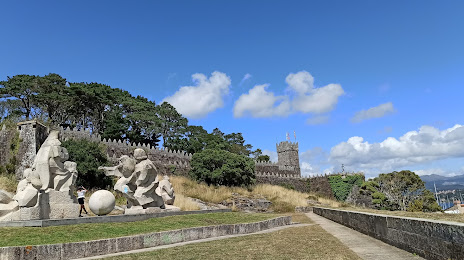
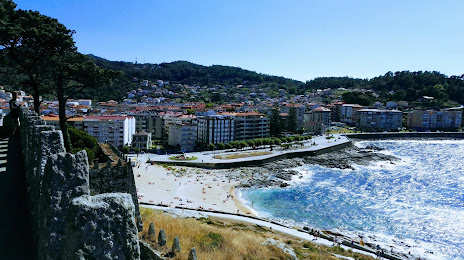
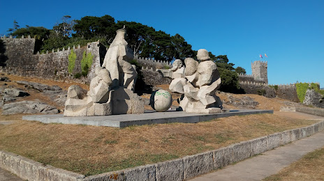
Iznate — Bueu
Iznate — Llama
Iznate — Quiruelas de Vidriales
Iznate — Longares
Iznate — Zamudio
Iznate — Beniel
Iznate — Ambroz
Iznate — San Vicente del Raspeig / Sant Vicent del Raspeig
Iznate — Masquefa
Iznate — Cotón do Muíño
Iznate — Medina de las Torres
Iznate — Valdesalor
Iznate — Algar, Andalusia
Iznate — Santo Tomas
Iznate — Sant Pere de Torelló
Iznate — Càlig
Iznate — Extremadura
Iznate — Pueblonuevo de Miramontes
Iznate — Uleila del Campo
Iznate — Bueu
Iznate — Llama
Iznate — Quiruelas de Vidriales
Iznate — Longares
Iznate — Zamudio
Iznate — Beniel
Iznate — Ambroz
Iznate — San Vicente del Raspeig / Sant Vicent del Raspeig
Iznate — Masquefa
Iznate — Cotón do Muíño
Iznate — Medina de las Torres
Iznate — Valdesalor
Iznate — Algar, Andalusia
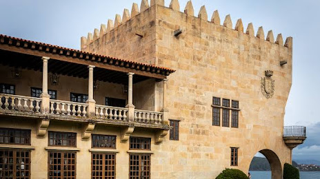
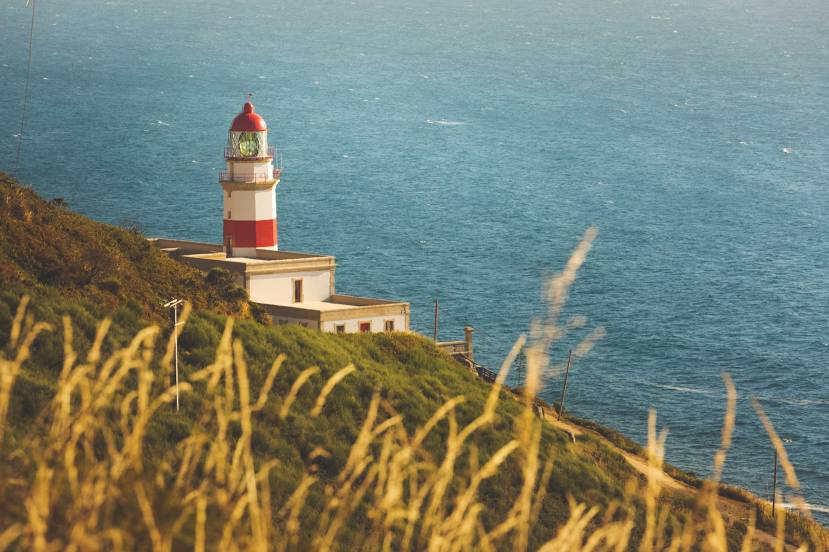
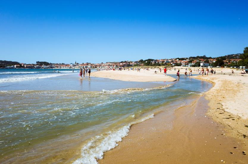
Iznate — Baiona distance, route on the map
Distance by car
Distance between Iznate, Andalucía, Spain and Baiona, Galicia, Spain by car is — km, or miles. To travel this distance by car, you need minute, or h.
Route on the map, driving directions
Car route Iznate — Baiona was created automatically. The road on the map is shown as a blue line. By moving the markers, you can create a new route through the points you need.
Distance by plane
If you decide to take a trip Iznate Baiona by plane, then you have to fly the distance — 717 km or 445 miles. It is marked on the map with a gray line (between two points in a straight line).
Flight time
Estimated flight time Iznate Baiona by plane at cruising speed 750 km / h will be — 57 min.
Direction of movement
Spain, Iznate — right-hand traffic. Spain, Baiona — right-hand traffic.
Difference in time
Iznate and Baiona are in the same time zone. Between them there is no time difference (UTC +2 Europe/Madrid).
Interesting Facts
Information on alternative ways to get to your destination.
The length of this distance is about 1.8% of the total length of the equator.
The percentage of the population is clearly shown in the graph:
Iznate — 826 (less by 11,265), Baiona — 12,091 residents.
The cost of travel
Calculate the cost of the trip yourself using the fuel consumption calculator, changing the data in the table.