
 Ábalos
Fuente el Saz de Jarama
Nàquera
Elche de la Sierra
Aldaia
El Pobo
Peñaflor de Hornija
Villamanrique de la Condesa
Linares de Mora
La Albuera
Llanes
Pájara
Entrambasaguas
Villalbilla
El Burgo de Ebro
Selva
Villameriel
Juneda
Cabeza del Buey
Ábalos
Fuente el Saz de Jarama
Nàquera
Elche de la Sierra
Aldaia
El Pobo
Peñaflor de Hornija
Villamanrique de la Condesa
Linares de Mora
La Albuera
Llanes
Pájara
Entrambasaguas
Villalbilla
El Burgo de Ebro
Selva
Villameriel
Juneda
Cabeza del Buey
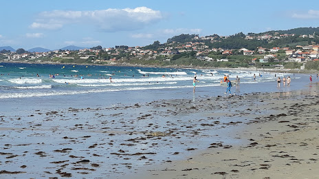
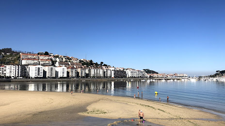
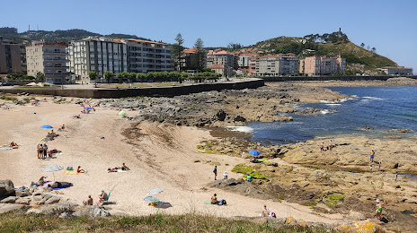
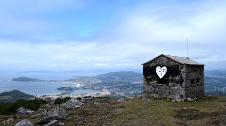
Baiona on the map, Spain
Where is located Baiona
Exact location — Baiona, Pontevedra, Galicia, Spain, marked on the map with a red marker.
Coordinates
Baiona, Spain coordinates in decimal format: latitude — 42.1201526, longitude — -8.8523668. When converted to degrees, minutes, seconds Baiona has the following coordinates: 42°7′12.55 north latitude and -8°51′8.52 east longitude.
Population
Baiona, Pontevedra, Galicia, Spain, according to our data the population is — 12,091 residents, which is about 0% of the total population of the country (Spain).
Comparison of the population on the graph:
Exact time
Time zone for this location Baiona — UTC +2 Europe/Madrid. Exact time — friday, 5 may 2024 year, 18 h. 14 minutes.
Sunrise and sunset
Baiona, sunrise and sunset data for a date — friday 3.05.2024.
| Sunrise | Sunset | Day (duration) |
|---|---|---|
| 07:30 -2 minutes | 21:33 +1 minute | 14 h. 6 minutes. +3 minutes |
You can control the scale of the map using the auxiliary tools to find out exactly where it is located Baiona. When you change the scale of the map, the width of the ruler also changes (in kilometers and miles).
Nearby cities
The largest cities that are located nearby:
- Vigo — 17 km
- Braga
 (Portugal) — 73 km
 - Ourense — 84 km
- Porto (Portugal) — 108 km
- A Coruña — 142 km
- Coimbra (Portugal) — 215 km
- León — 273 km
- Oviedo — 278 km
- Salamanca — 295 km
- Gijón — 300 km
- Valladolid — 345 km
- Amadora (Portugal) — 373 km
- Queluz (Portugal) — 373 km
- Lisbon (Portugal) — 376 km
- Badajoz — 393 km
- Burgos — 422 km
- Santander — 431 km
- Móstoles — 465 km
- Alcorcón — 467 km
Distance to neighboring capitals:
- Lisbon (Portugal) — 379 km
- Andorra la Vella
 (Andorra) — 854 km
 - Rabat
 (Morocco) — 923 km
 - Paris
 (France) — 1149 km
 - Paris (France) — 1149 km
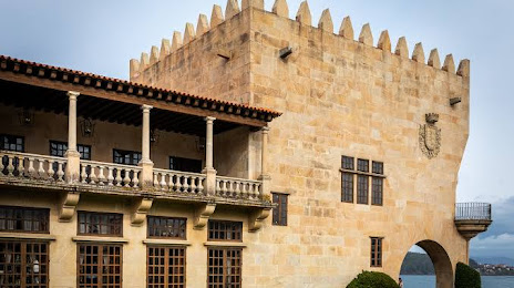
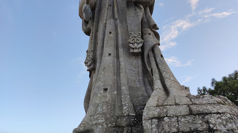
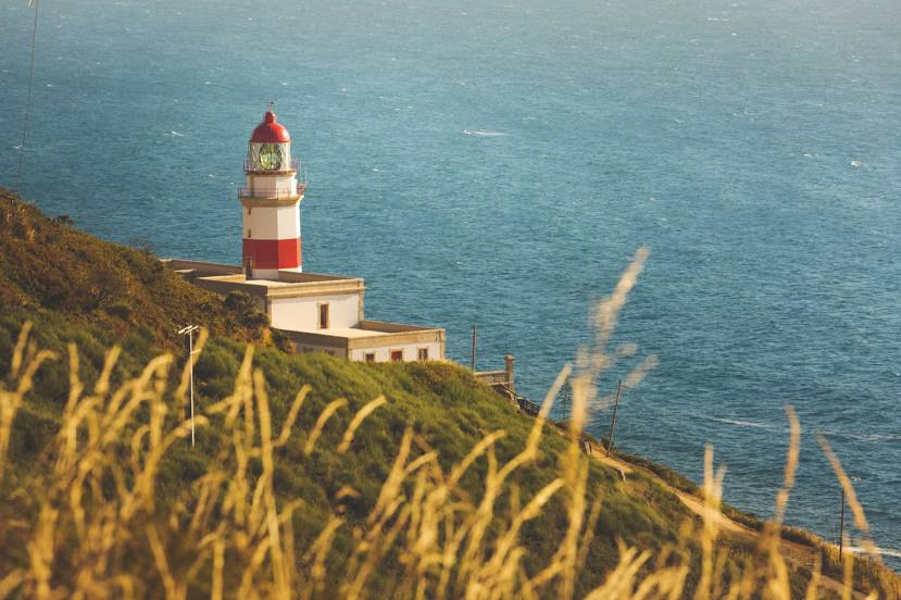
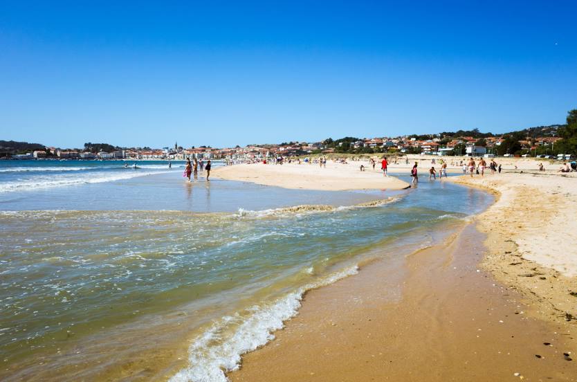
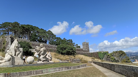
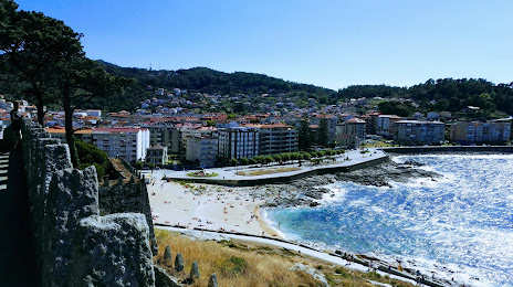
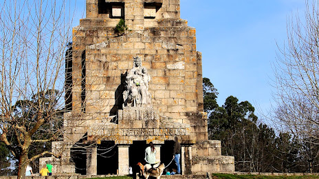
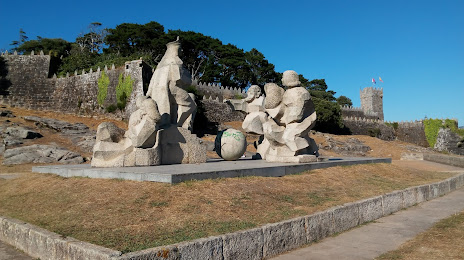
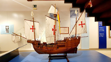
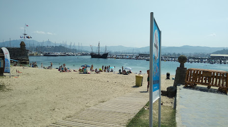
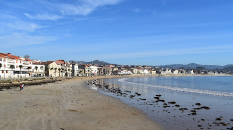
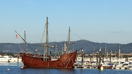
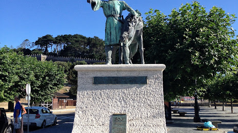
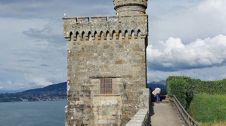
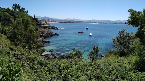
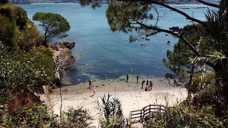
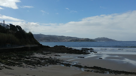
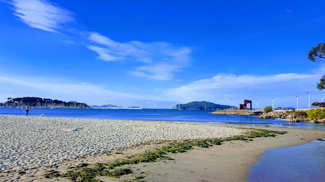
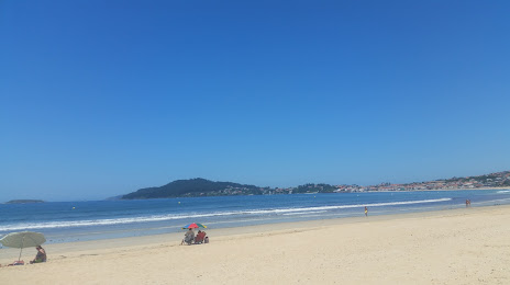
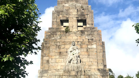
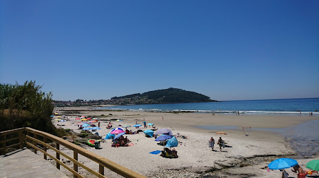
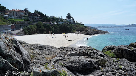
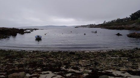
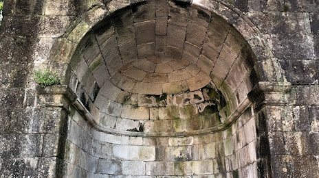
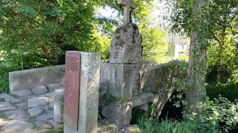
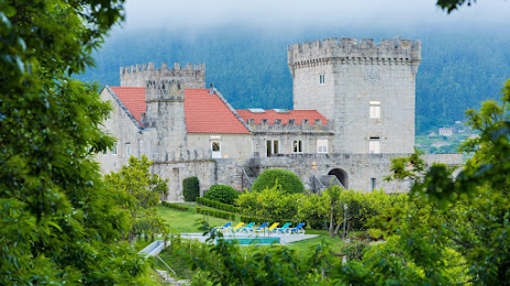
Attractions

Distance to the capital
Distance to the capital (Madrid) is about — 470 km.