
 Almorox
Quintanar de la Orden
Alcolea del Pinar
Godelleta
Forès
Almonacid de Zorita
Royuela de Río Franco
Calamocha
Pelahustán
Sant Julià de Vilatorta
Peñafiel
Moraña
Villanueva de la Reina
Mucientes
Baiona
Villamantilla
La Victoria de Acentejo
Alfamén
Villares de la Reina
Almorox
Quintanar de la Orden
Alcolea del Pinar
Godelleta
Forès
Almonacid de Zorita
Royuela de Río Franco
Calamocha
Pelahustán
Sant Julià de Vilatorta
Peñafiel
Moraña
Villanueva de la Reina
Mucientes
Baiona
Villamantilla
La Victoria de Acentejo
Alfamén
Villares de la Reina
Aldaia on the map, Spain
Where is located Aldaia
Exact location — Aldaia, Valencia, Valencian Community, Spain, marked on the map with a red marker.
Coordinates
Aldaia, Spain coordinates in decimal format: latitude — 39.4650646, longitude — -0.461541. When converted to degrees, minutes, seconds Aldaia has the following coordinates: 39°27′54.23 north latitude and -0°27′41.55 east longitude.
Population
Aldaia, Valencia, Valencian Community, Spain, according to our data the population is — 29,914 residents, which is about 0.1% of the total population of the country (Spain).
Comparison of the population on the graph:
Exact time
Time zone for this location Aldaia — UTC +2 Europe/Madrid. Exact time — thursday, 5 may 2024 year, 22 h. 08 minutes.
Sunrise and sunset
Aldaia, sunrise and sunset data for a date — thursday 9.05.2024.
| Sunrise | Sunset | Day (duration) |
|---|---|---|
| 06:56 -1 minute | 21:00 +1 minute | 14 h. 6 minutes. +2 minutes |
You can control the scale of the map using the auxiliary tools to find out exactly where it is located Aldaia. When you change the scale of the map, the width of the ruler also changes (in kilometers and miles).
Nearby cities
The largest cities that are located nearby:
- Valencia — 7 km
- Albacete — 131 km
- Murcia — 173 km
- Cartagena — 209 km
- Tarragona — 232 km
- Zaragoza — 244 km
- Lleida — 254 km
- Palma — 265 km
- Alcala de Henares — 269 km
- Torrejón de Ardoz — 276 km
- Getafe — 291 km
- Alcobendas — 292 km
- Leganés — 295 km
- Fuenlabrada — 296 km
- L'Hospitalet de Llobregat — 300 km
- Alcorcón — 300 km
- Móstoles — 302 km
- Terrassa — 309 km
- Santa Coloma de Gramenet — 311 km
Distance to neighboring capitals:
- Andorra la Vella
 (Andorra) — 377 km
 - Lisbon
 (Portugal) — 753 km
 - Rabat
 (Morocco) — 835 km
 - Paris
 (France) — 1068 km
 - Paris (France) — 1068 km
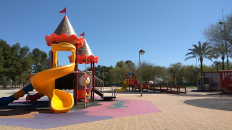
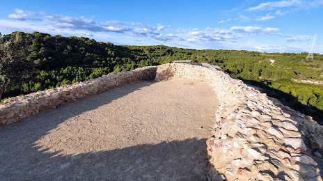
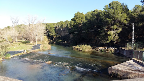
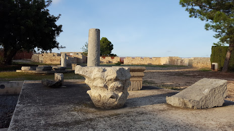
Attractions


Distance to the capital
Distance to the capital (Madrid) is about — 296 km.