Valdelaguna — Premià de Mar
Valdelaguna — Beas de Segura
Valdelaguna — Los Realejos
Valdelaguna — Brunete
Valdelaguna — Loarre
Valdelaguna — Campanillas
Valdelaguna — Montferrer
Valdelaguna — Selva
Valdelaguna — Alcántara
Valdelaguna — Vilamacolum
Valdelaguna — Bordils
Valdelaguna — Alborge
Valdelaguna — Almagro
Valdelaguna — Pizarra
Valdelaguna — Arcones
Valdelaguna — Vilallonga de Ter
Valdelaguna — Nalda
Valdelaguna — Santisteban del Puerto
Valdelaguna — Los Silos
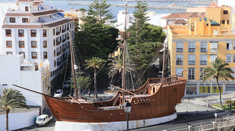
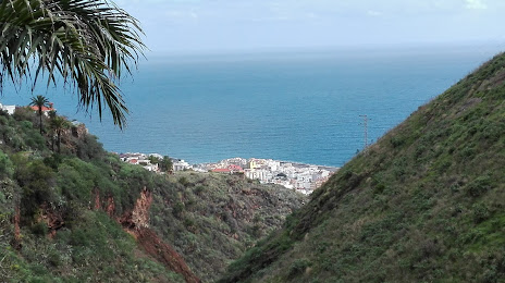
Valdelaguna — Santa Cruz de la Palma distance, route on the map
Distance by car
Distance between Valdelaguna, Comunidad de Madrid, Spain and Santa Cruz de la Palma, Canarias, Spain by car is — km, or miles. To travel this distance by car, you need minute, or h.
Route on the map, driving directions
Car route Valdelaguna — Santa Cruz de la Palma was created automatically. The road on the map is shown as a blue line. By moving the markers, you can create a new route through the points you need.
Distance by plane
If you decide to take a trip Valdelaguna Santa Cruz de la Palma by plane, then you have to fly the distance — 1832 km or 1136 miles. It is marked on the map with a gray line (between two points in a straight line).
Flight time
Estimated flight time Valdelaguna Santa Cruz de la Palma by plane at cruising speed 750 km / h will be — 2 h. and 26 min.
Direction of movement
Spain, Valdelaguna — right-hand traffic. Spain, Santa Cruz de la Palma — right-hand traffic.
Difference in time
Valdelaguna and Santa Cruz de la Palma are in different time zones. The time difference is 1 hour (UTC +2 Europe/Madrid, UTC +1 Atlantic/Canary).
Interesting Facts
Information on alternative ways to get to your destination.
The length of this distance is about 4.6% of the total length of the equator.
The cost of travel
Calculate the cost of the trip yourself using the fuel consumption calculator, changing the data in the table.