
 Nobsa
Oiba
La Paila
Tauramena
Palermo
Chita
Pupiales
Samaniego
Suaza
Caloto
Salento
Buenavista
Puerto Asís
Carmen De Apicalá
Andes
La Jagua De Ibirico
Momil
San Juan Nepomuceno
Jardin
Nobsa
Oiba
La Paila
Tauramena
Palermo
Chita
Pupiales
Samaniego
Suaza
Caloto
Salento
Buenavista
Puerto Asís
Carmen De Apicalá
Andes
La Jagua De Ibirico
Momil
San Juan Nepomuceno
Jardin
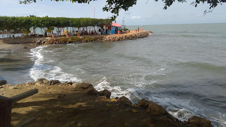
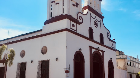
Tolu on the map, Colombia
Where is located Tolu
Exact location — Tolu, Sucre, Colombia, marked on the map with a red marker.
Coordinates
Tolu, Colombia coordinates in decimal format: latitude — 9.529193, longitude — -75.568581. When converted to degrees, minutes, seconds Tolu has the following coordinates: 9°31′45.09 north latitude and -75°34′6.89 east longitude.
Population
Tolu, Sucre, Colombia, according to our data the population is — 27,390 residents, which is about 0.1% of the total population of the country (Colombia).
Comparison of the population on the graph:
Exact time
Time zone for this location Tolu — UTC -5 America/Bogota. Exact time — monday, 4 april 2024 year, 07 h. 38 minutes.
Sunrise and sunset
Tolu, sunrise and sunset data for a date — monday 29.04.2024.
| Sunrise | Sunset | Day (duration) |
|---|---|---|
| 05:48 -0 minutes | 18:10 -0 minutes | 12 h. 24 minutes. -0 minutes |
You can control the scale of the map using the auxiliary tools to find out exactly where it is located Tolu. When you change the scale of the map, the width of the ruler also changes (in kilometers and miles).
Nearby cities
The largest cities that are located nearby:
- Sincelejo — 31 km
- Monteria — 93 km
- Magangué — 95 km
- Cartagena — 98 km
- Malambo — 171 km
- Soledad — 176 km
- Barranquilla — 180 km
- Santa Marta — 240 km
- Valledupar — 273 km
- Barrancabermeja — 332 km
- Bello — 353 km
- Medellín — 360 km
- Envigado — 371 km
- Itagüi — 372 km
- Bucaramanga — 377 km
- Giron — 378 km
- Cúcuta — 382 km
- Floridablanca — 385 km
- San Cristobal
 (Venezuela) — 415 km
Distance to neighboring capitals:
- Panama
 (Panama) — 438 km
 - San Jose
 (Costa Rica) — 935 km
 - Caracas (Venezuela) — 952 km
- Quito
 (Ecuador) — 1127 km
 - Georgetown
 (Guyana) — 1939 km
 - Nuestra Señora de La Paz
 (Bolivia) — 3008 km
 - Asuncion
 (Paraguay) — 4333 km
 - Santiago
 (Chile) — 4807 km
 - Buenos Aires
 (Argentina) — 5232 km
 - Montevideo
 (Uruguay) — 5347 km
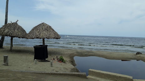
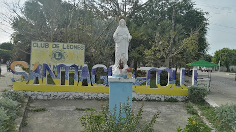
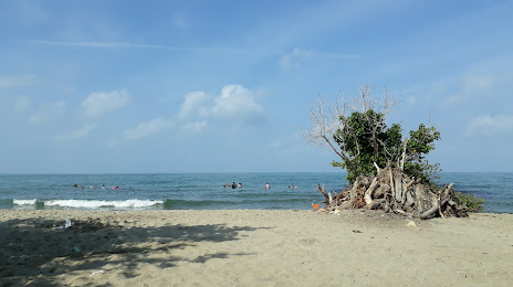
Attractions
Distance to the capital
Distance to the capital (Bogota) is about — 573 km.