El Puerto de Santa María — Villarreal de San Carlos
El Puerto de Santa María — Bugarra
El Puerto de Santa María — Berriatua
El Puerto de Santa María — Iznate
El Puerto de Santa María — Miota
El Puerto de Santa María — Forua
El Puerto de Santa María — Henares
El Puerto de Santa María — Cogeces de Íscar
El Puerto de Santa María — Calatayud
El Puerto de Santa María — Cales de Mallorca
El Puerto de Santa María — La Collada
El Puerto de Santa María — Antequera
El Puerto de Santa María — Las Lomas Village -La Manga Club Resort
El Puerto de Santa María — Vallada
El Puerto de Santa María — Griegos
El Puerto de Santa María — Moraleja
El Puerto de Santa María — La Puebla de Arganzón
El Puerto de Santa María — Lezuza
El Puerto de Santa María — Paracuellos de Jarama
See how the reverse distance goes.
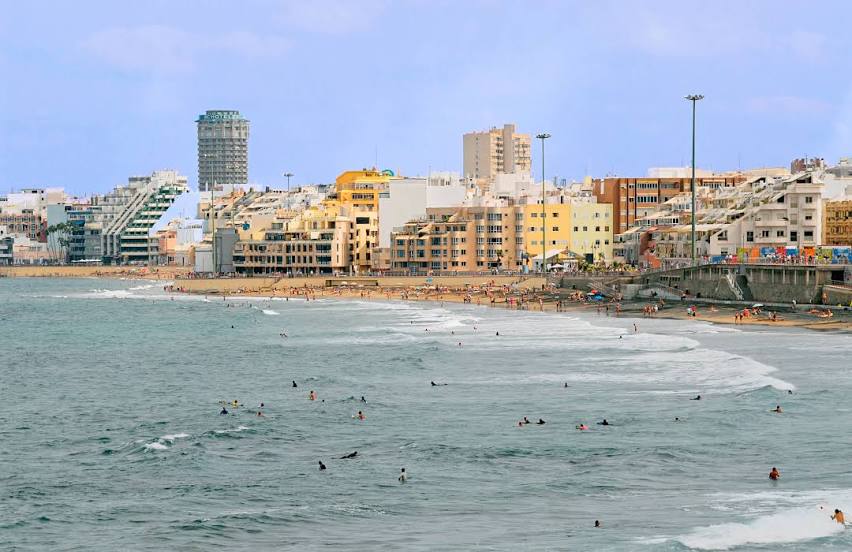
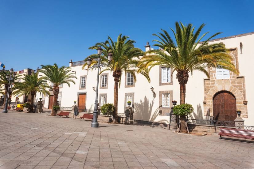
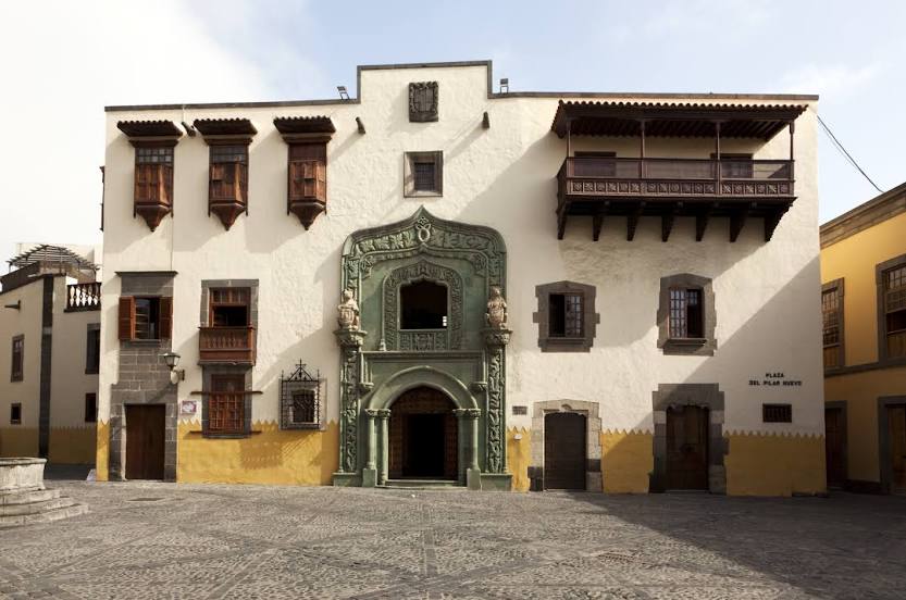
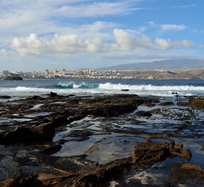
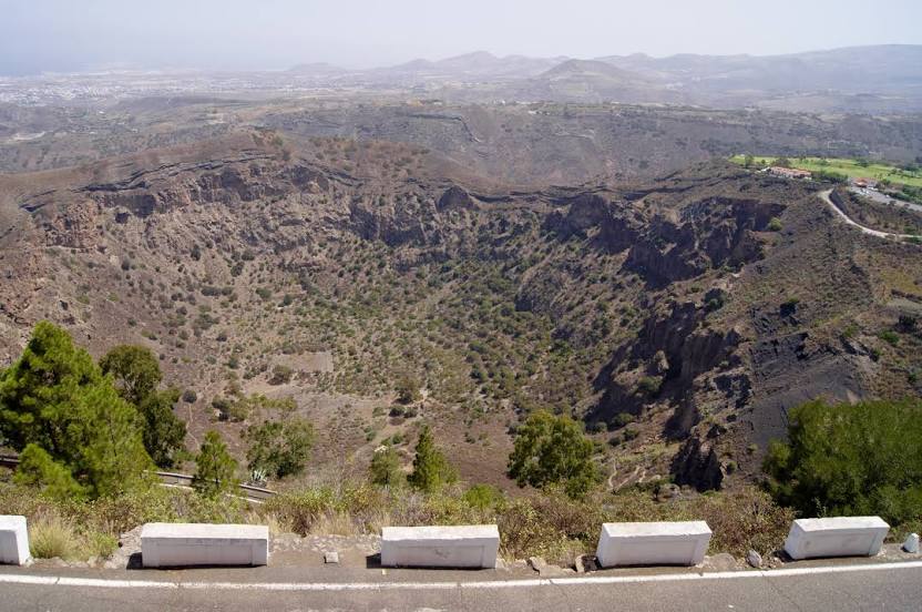
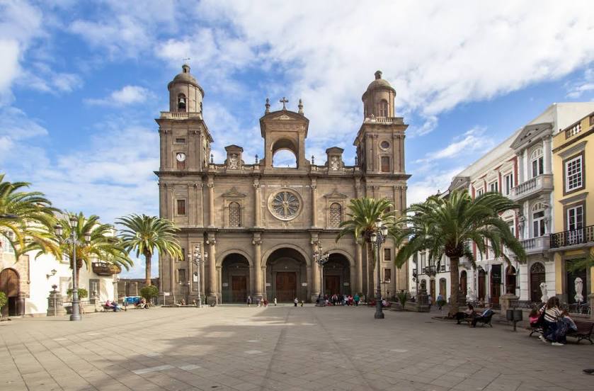
Las Palmas de Gran Canaria — El Puerto de Santa MaríaEl Puerto de Santa María — Las Palmas de Gran Canaria distance, route on the map
Distance by car
Distance between El Puerto de Santa María, Andalucía, Spain and Las Palmas de Gran Canaria, Canarias, Spain by car is — km, or miles. To travel this distance by car, you need minute, or h.
Route on the map, driving directions
Car route El Puerto de Santa María — Las Palmas de Gran Canaria was created automatically. The road on the map is shown as a blue line. By moving the markers, you can create a new route through the points you need.
Distance by plane
If you decide to take a trip El Puerto de Santa María Las Palmas de Gran Canaria by plane, then you have to fly the distance — 1278 km or 792 miles. It is marked on the map with a gray line (between two points in a straight line).
Flight time
Estimated flight time El Puerto de Santa María Las Palmas de Gran Canaria by plane at cruising speed 750 km / h will be — 1 h. and 42 min.
Direction of movement
Spain, El Puerto de Santa María — right-hand traffic. Spain, Las Palmas de Gran Canaria — right-hand traffic.
Difference in time
El Puerto de Santa María and Las Palmas de Gran Canaria are in different time zones. The time difference is 1 hour (UTC +2 Europe/Madrid, UTC +1 Atlantic/Canary).
Interesting Facts
Information on alternative ways to get to your destination.
The length of this distance is about 3.2% of the total length of the equator.
The percentage of the population is clearly shown in the graph:
El Puerto de Santa María — 78,714 (less by 299,781), Las Palmas de Gran Canaria — 378,495 residents.
The cost of travel
Calculate the cost of the trip yourself using the fuel consumption calculator, changing the data in the table.