
 Quijano
Vélez-Málaga
Felanitx
Nora
Concha
Majadahonda
Artés
Logroño
Casas de Benítez
Consell
Mollerussa
Cubillo
La Roca de la Sierra
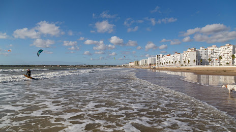
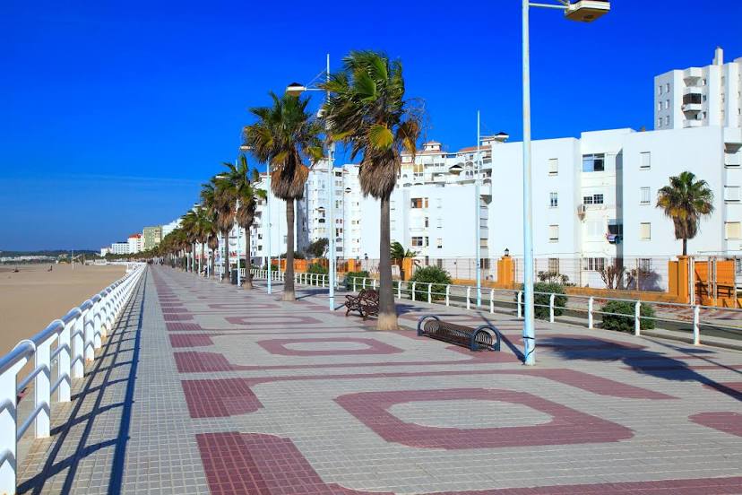
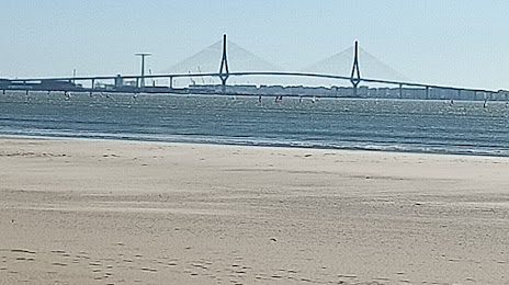
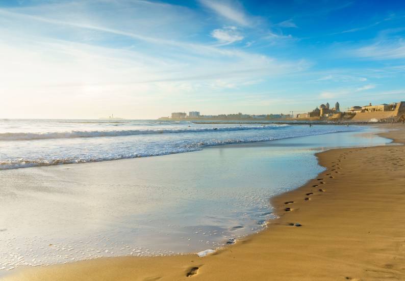
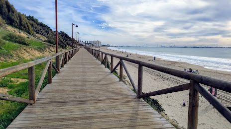
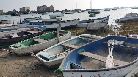
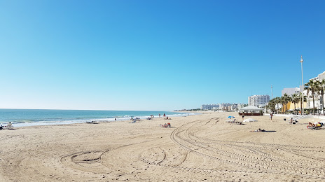
San Fernando
Aguaviva
Carme
Mediana de Aragón
Los Olmos
Lledó
Quijano
Vélez-Málaga
Felanitx
Nora
Concha
Majadahonda
Artés
Logroño
Casas de Benítez
Consell
Mollerussa
Cubillo
La Roca de la Sierra
San Fernando
Aguaviva
Carme
Mediana de Aragón
Los Olmos
Lledó
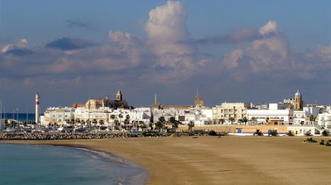
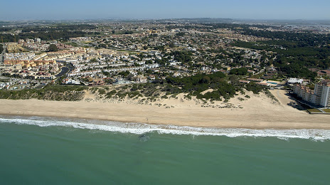
El Puerto de Santa María on the map, Spain
Where is located El Puerto de Santa María
Exact location — El Puerto de Santa María, Cádiz, Andalucía, Spain, marked on the map with a red marker.
Coordinates
El Puerto de Santa María, Spain coordinates in decimal format: latitude — 36.600595, longitude — -6.2329094. When converted to degrees, minutes, seconds El Puerto de Santa María has the following coordinates: 36°36′2.14 north latitude and -6°13′58.47 east longitude.
Population
El Puerto de Santa María, Cádiz, Andalucía, Spain, according to our data the population is — 78,714 residents, which is about 0.2% of the total population of the country (Spain).
Comparison of the population on the graph:
Exact time
Time zone for this location El Puerto de Santa María — UTC +2 Europe/Madrid. Exact time — saturday, 4 april 2024 year, 18 h. 25 minutes.
Sunrise and sunset
El Puerto de Santa María, sunrise and sunset data for a date — saturday 27.04.2024.
| Sunrise | Sunset | Day (duration) |
|---|---|---|
| 07:38 -1 minute | 21:06 +1 minute | 13 h. 30 minutes. +2 minutes |
You can control the scale of the map using the auxiliary tools to find out exactly where it is located El Puerto de Santa María. When you change the scale of the map, the width of the ruler also changes (in kilometers and miles).
Nearby cities
The largest cities that are located nearby:
- Cádiz — 10 km
- Jerez — 13 km
- Dos Hermanas — 81 km
- Algeciras — 86 km
- Huelva — 96 km
- Tangier
 (Morocco) — 100 km
 - Marbella — 120 km
- Tetouan (Morocco) — 138 km
- Málaga — 155 km
- Córdoba — 191 km
- Granada — 241 km
- Jaén — 251 km
- Badajoz — 260 km
- Kenitra (Morocco) — 262 km
- Taounate (Morocco) — 270 km
- Sale (Morocco) — 288 km
- Temara (Morocco) — 302 km
- Meknes (Morocco) — 306 km
- Khemisset (Morocco) — 308 km
Distance to neighboring capitals:
- Rabat (Morocco) — 298 km
- Lisbon
 (Portugal) — 348 km
 - Andorra la Vella
 (Andorra) — 934 km
 - Paris
 (France) — 1531 km
 - Paris (France) — 1531 km
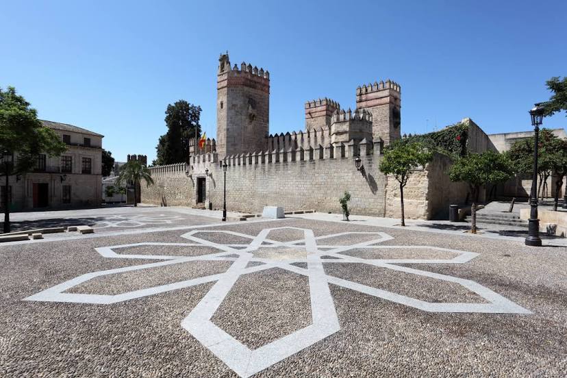
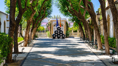
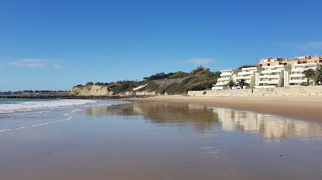
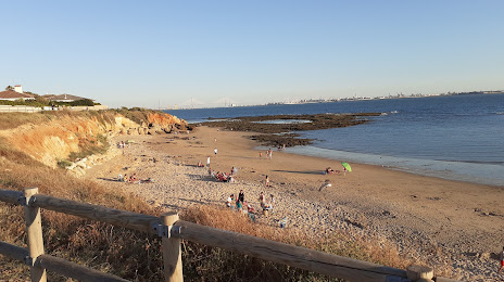
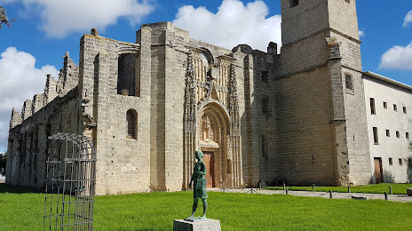
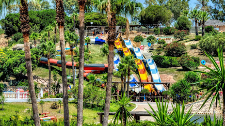
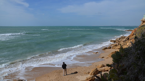
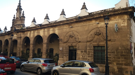
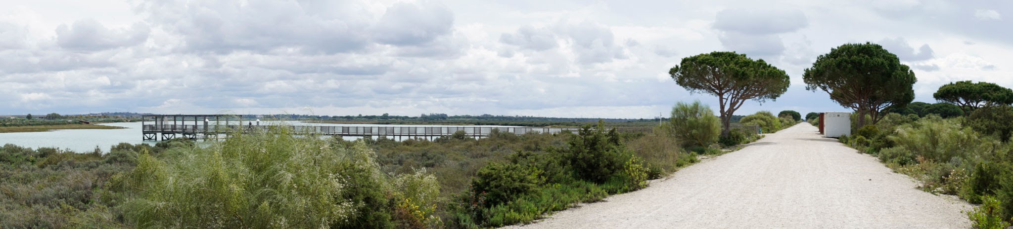
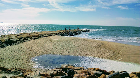
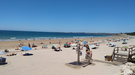
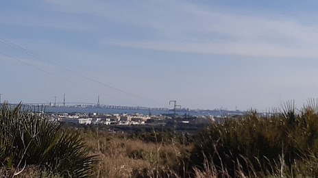
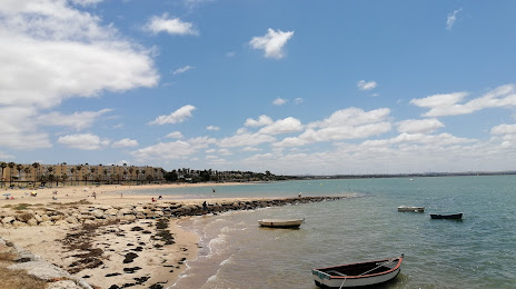
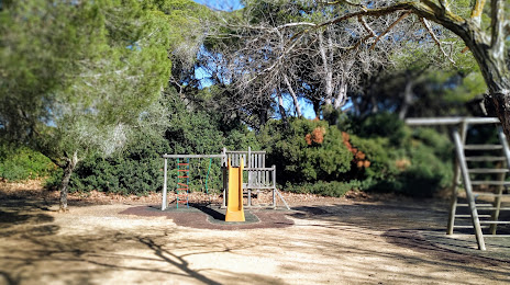
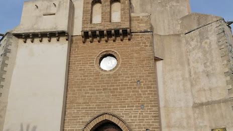
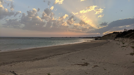
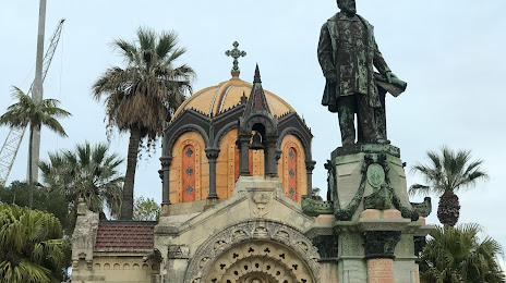
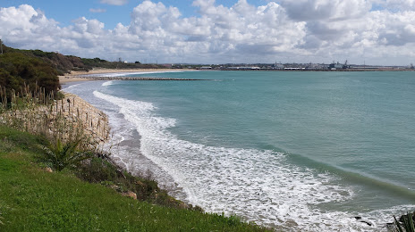
Attractions


Distance to the capital
Distance to the capital (Madrid) is about — 478 km.