
 Padilla de Abajo
Badajoz
Huelva
Granadilla
Quinto
Jumilla DO
Burlada
Aranda de Duero
Cáceres
Sales de Llierca
Para
Siurana
Alcobendas
Gaià
Alba de Tormes
Toledo
Zumarraga
El Puerto de Santa María
Sestao
Padilla de Abajo
Badajoz
Huelva
Granadilla
Quinto
Jumilla DO
Burlada
Aranda de Duero
Cáceres
Sales de Llierca
Para
Siurana
Alcobendas
Gaià
Alba de Tormes
Toledo
Zumarraga
El Puerto de Santa María
Sestao
Logroño on the map, Spain
Where is located Logroño
Exact location — Logroño, La Rioja, La Rioja, Spain, marked on the map with a red marker.
Coordinates
Logroño, Spain coordinates in decimal format: latitude — 42.4627195, longitude — -2.4449852. When converted to degrees, minutes, seconds Logroño has the following coordinates: 42°27′45.79 north latitude and -2°26′41.95 east longitude.
Population
Logroño, La Rioja, La Rioja, Spain, according to our data the population is — 142,103 residents, which is about 0.3% of the total population of the country (Spain).
Comparison of the population on the graph:
Exact time
Time zone for this location Logroño — UTC +2 Europe/Madrid. Exact time — monday, 4 april 2024 year, 17 h. 02 minutes.
Sunrise and sunset
Logroño, sunrise and sunset data for a date — monday 29.04.2024.
| Sunrise | Sunset | Day (duration) |
|---|---|---|
| 07:09 -2 minutes | 21:04 +1 minute | 13 h. 54 minutes. +3 minutes |
You can control the scale of the map using the auxiliary tools to find out exactly where it is located Logroño. When you change the scale of the map, the width of the ruler also changes (in kilometers and miles).
Nearby cities
The largest cities that are located nearby:
- Vitoria-Gasteiz — 48 km
- Pamplona — 75 km
- Bilbao — 97 km
- San Sebastián — 102 km
- Burgos — 103 km
- Santander — 156 km
- Zaragoza — 157 km
- Valladolid — 209 km
- Alcala de Henares — 232 km
- Alcobendas — 235 km
- Torrejón de Ardoz — 238 km
- León — 255 km
- Leganés — 261 km
- Alcorcón — 261 km
- Getafe — 262 km
- Móstoles — 265 km
- Fuenlabrada — 266 km
- Lleida — 270 km
- Gijón — 284 km
Distance to neighboring capitals:
- Andorra la Vella
 (Andorra) — 325 km
 - Lisbon
 (Portugal) — 702 km
 - Paris
 (France) — 803 km
 - Paris (France) — 803 km
- Rabat
 (Morocco) — 1019 km
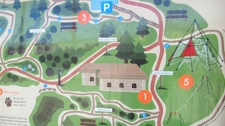
Attractions


Distance to the capital
Distance to the capital (Madrid) is about — 251 km.