
 Palafrugell
Linares
Tajonar
Isla Mayor
Guadalajara
Albacete
Cuenca
Marratxí
Casares
Hernani
Casas de Benítez
Logroño
Artés
Majadahonda
Concha
Nora
Felanitx
Vélez-Málaga
Quijano
Palafrugell
Linares
Tajonar
Isla Mayor
Guadalajara
Albacete
Cuenca
Marratxí
Casares
Hernani
Casas de Benítez
Logroño
Artés
Majadahonda
Concha
Nora
Felanitx
Vélez-Málaga
Quijano
Badajoz on the map, Spain
Where is located Badajoz
Exact location — Badajoz, Badajoz, Extremadura, Spain, marked on the map with a red marker.
Coordinates
Badajoz, Spain coordinates in decimal format: latitude — 38.8794495, longitude — -6.9706535. When converted to degrees, minutes, seconds Badajoz has the following coordinates: 38°52′46.02 north latitude and -6°58′14.35 east longitude.
Population
Badajoz, Badajoz, Extremadura, Spain, according to our data the population is — 133,042 residents, which is about 0.3% of the total population of the country (Spain).
Comparison of the population on the graph:
Exact time
Time zone for this location Badajoz — UTC +2 Europe/Madrid. Exact time — thursday, 5 may 2024 year, 18 h. 18 minutes.
Sunrise and sunset
Badajoz, sunrise and sunset data for a date — thursday 9.05.2024.
| Sunrise | Sunset | Day (duration) |
|---|---|---|
| 07:23 -1 minute | 21:24 -0 minutes | 14 h. 0 minutes. +1 minute |
You can control the scale of the map using the auxiliary tools to find out exactly where it is located Badajoz. When you change the scale of the map, the width of the ruler also changes (in kilometers and miles).
Nearby cities
The largest cities that are located nearby:
- Huelva — 179 km
- Lisbon
 (Portugal) — 188 km
 - Coimbra (Portugal) — 190 km
- Amadora (Portugal) — 195 km
- Queluz (Portugal) — 198 km
- Dos Hermanas — 199 km
- Córdoba — 220 km
- Jerez — 254 km
- Salamanca — 256 km
- Cádiz — 267 km
- Porto (Portugal) — 287 km
- Jaén — 304 km
- Móstoles — 306 km
- Fuenlabrada — 309 km
- Alcorcón — 311 km
- Leganés — 314 km
- Getafe — 315 km
- Braga (Portugal) — 318 km
- Marbella — 321 km
Distance to neighboring capitals:
- Lisbon (Portugal) — 189 km
- Rabat
 (Morocco) — 546 km
 - Andorra la Vella
 (Andorra) — 821 km
 - Paris
 (France) — 1336 km
 - Paris (France) — 1336 km
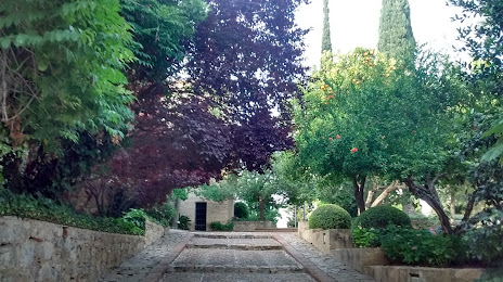
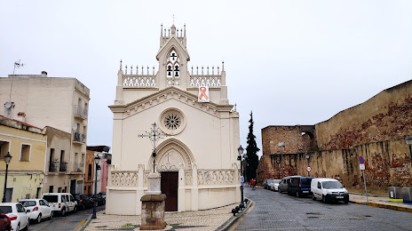
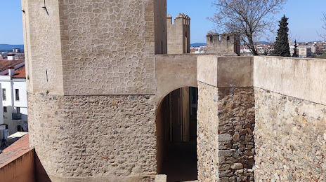
Attractions


Distance to the capital
Distance to the capital (Madrid) is about — 328 km.