
 Huelva
Granadilla
Quinto
Jumilla DO
Burlada
Aranda de Duero
Cáceres
Al-Andalus
Lorca
Olesa de Montserrat
Moraleja de Enmedio
Sales de Llierca
Para
Siurana
Alcobendas
Gaià
Alba de Tormes
Toledo
Zumarraga
Huelva
Granadilla
Quinto
Jumilla DO
Burlada
Aranda de Duero
Cáceres
Al-Andalus
Lorca
Olesa de Montserrat
Moraleja de Enmedio
Sales de Llierca
Para
Siurana
Alcobendas
Gaià
Alba de Tormes
Toledo
Zumarraga
Hernani on the map, Spain
Where is located Hernani
Exact location — Hernani, Gipuzkoa, Euskadi, Spain, marked on the map with a red marker.
Coordinates
Hernani, Spain coordinates in decimal format: latitude — 43.2677956, longitude — -1.9746973. When converted to degrees, minutes, seconds Hernani has the following coordinates: 43°16′4.06 north latitude and -1°58′28.91 east longitude.
Population
Hernani, Gipuzkoa, Euskadi, Spain, according to our data the population is — 18,482 residents, which is about 0% of the total population of the country (Spain).
Comparison of the population on the graph:
Exact time
Time zone for this location Hernani — UTC +2 Europe/Madrid. Exact time — sunday, 4 april 2024 year, 06 h. 04 minutes.
Sunrise and sunset
Hernani, sunrise and sunset data for a date — sunday 28.04.2024.
| Sunrise | Sunset | Day (duration) |
|---|---|---|
| 07:07 -2 minutes | 21:02 +1 minute | 13 h. 54 minutes. +3 minutes |
You can control the scale of the map using the auxiliary tools to find out exactly where it is located Hernani. When you change the scale of the map, the width of the ruler also changes (in kilometers and miles).
Nearby cities
The largest cities that are located nearby:
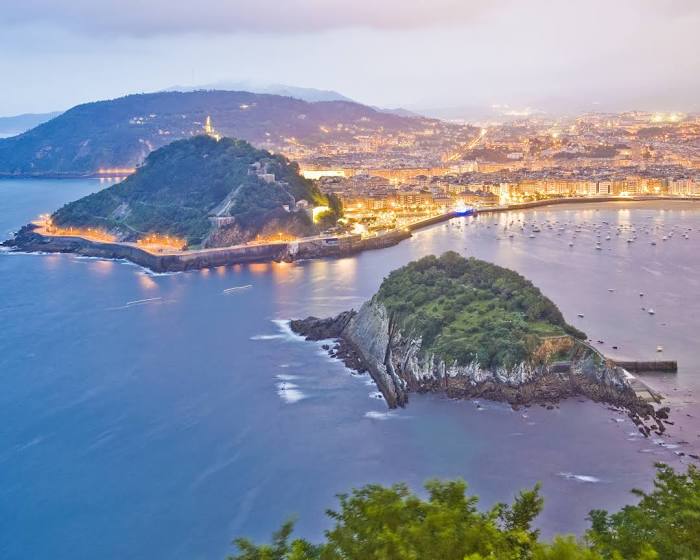
- San Sebastián — 6 km
- Pamplona — 57 km
- Vitoria-Gasteiz — 73 km
- Bilbao — 77 km
- Logroño — 97 km
- Santander — 149 km
- Burgos — 174 km
- Zaragoza — 200 km
- Bordeaux
 (France) — 205 km
 - Toulouse (France) — 276 km
- Lleida — 282 km
- Valladolid — 289 km
- Gijón — 297 km
- León — 302 km
- Oviedo — 312 km
- Alcala de Henares — 329 km
- Alcobendas — 333 km
- Torrejón de Ardoz — 335 km
- Leganés — 358 km
Distance to neighboring capitals:
- Andorra la Vella
 (Andorra) — 297 km
 - Paris (France) — 705 km
- Paris (France) — 705 km
- Lisbon
 (Portugal) — 785 km
 - Rabat
 (Morocco) — 1117 km
Attractions


Distance to the capital
Distance to the capital (Madrid) is about — 348 km.