
 Vélez-Málaga
Felanitx
Nora
Concha
Majadahonda
Artés
Logroño
Casas de Benítez
Hernani
Berdún
Consell
Mollerussa
Cubillo
La Roca de la Sierra
San Fernando
Aguaviva
Carme
Mediana de Aragón
Los Olmos
Vélez-Málaga
Felanitx
Nora
Concha
Majadahonda
Artés
Logroño
Casas de Benítez
Hernani
Berdún
Consell
Mollerussa
Cubillo
La Roca de la Sierra
San Fernando
Aguaviva
Carme
Mediana de Aragón
Los Olmos
Zumarraga on the map, Spain
Where is located Zumarraga
Exact location — Zumarraga, Gipuzkoa, Euskadi, Spain, marked on the map with a red marker.
Coordinates
Zumarraga, Spain coordinates in decimal format: latitude — 43.085954, longitude — -2.3147677. When converted to degrees, minutes, seconds Zumarraga has the following coordinates: 43°5′9.43 north latitude and -2°18′53.16 east longitude.
Population
Zumarraga, Gipuzkoa, Euskadi, Spain, according to our data the population is — 10,284 residents, which is about 0% of the total population of the country (Spain).
Comparison of the population on the graph:
Exact time
Time zone for this location Zumarraga — UTC +2 Europe/Madrid. Exact time — saturday, 5 may 2024 year, 13 h. 48 minutes.
Sunrise and sunset
Zumarraga, sunrise and sunset data for a date — saturday 4.05.2024.
| Sunrise | Sunset | Day (duration) |
|---|---|---|
| 07:01 -1 minute | 21:10 +1 minute | 14 h. 12 minutes. +2 minutes |
You can control the scale of the map using the auxiliary tools to find out exactly where it is located Zumarraga. When you change the scale of the map, the width of the ruler also changes (in kilometers and miles).
Nearby cities
The largest cities that are located nearby:
- San Sebastián — 37 km
- Vitoria-Gasteiz — 39 km
- Bilbao — 54 km
- Pamplona — 62 km
- Logroño — 70 km
- Santander — 127 km
- Burgos — 140 km
- Zaragoza — 198 km
- Bordeaux
 (France) — 237 km
 - Valladolid — 254 km
- León — 270 km
- Gijón — 273 km
- Oviedo — 286 km
- Lleida — 292 km
- Alcala de Henares — 301 km
- Alcobendas — 303 km
- Toulouse (France) — 306 km
- Torrejón de Ardoz — 307 km
- Leganés — 328 km
Distance to neighboring capitals:
- Andorra la Vella
 (Andorra) — 320 km
 - Paris (France) — 736 km
- Paris (France) — 736 km
- Lisbon
 (Portugal) — 751 km
 - Rabat
 (Morocco) — 1087 km
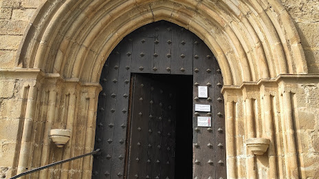
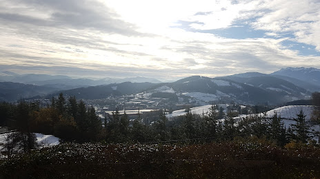
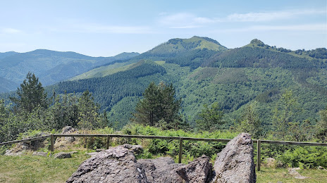
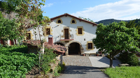
Attractions


Distance to the capital
Distance to the capital (Madrid) is about — 318 km.