
 Galdakao
Urduliz
Sestao
El Puerto de Santa María
Zumarraga
Toledo
Alba de Tormes
Gaià
Alcobendas
San Cristobal de La Laguna
Girona
Almería
Elda
Granollers
Molina de Segura
Ronda
San Sebastián
Sant Joan d'Alacant
La Alberca
Galdakao
Urduliz
Sestao
El Puerto de Santa María
Zumarraga
Toledo
Alba de Tormes
Gaià
Alcobendas
San Cristobal de La Laguna
Girona
Almería
Elda
Granollers
Molina de Segura
Ronda
San Sebastián
Sant Joan d'Alacant
La Alberca
San Fernando on the map, Spain
Where is located San Fernando
Exact location — San Fernando, Cádiz, Andalucía, Spain, marked on the map with a red marker.
Coordinates
San Fernando, Spain coordinates in decimal format: latitude — 36.4718646, longitude — -6.1965948. When converted to degrees, minutes, seconds San Fernando has the following coordinates: 36°28′18.71 north latitude and -6°11′47.74 east longitude.
Population
San Fernando, Cádiz, Andalucía, Spain, according to our data the population is — 90,936 residents, which is about 0.2% of the total population of the country (Spain).
Comparison of the population on the graph:
Exact time
Time zone for this location San Fernando — UTC +2 Europe/Madrid. Exact time — friday, 5 may 2024 year, 17 h. 52 minutes.
Sunrise and sunset
San Fernando, sunrise and sunset data for a date — friday 10.05.2024.
| Sunrise | Sunset | Day (duration) |
|---|---|---|
| 07:24 -1 minute | 21:17 +1 minute | 13 h. 54 minutes. +2 minutes |
You can control the scale of the map using the auxiliary tools to find out exactly where it is located San Fernando. When you change the scale of the map, the width of the ruler also changes (in kilometers and miles).
Nearby cities
The largest cities that are located nearby:
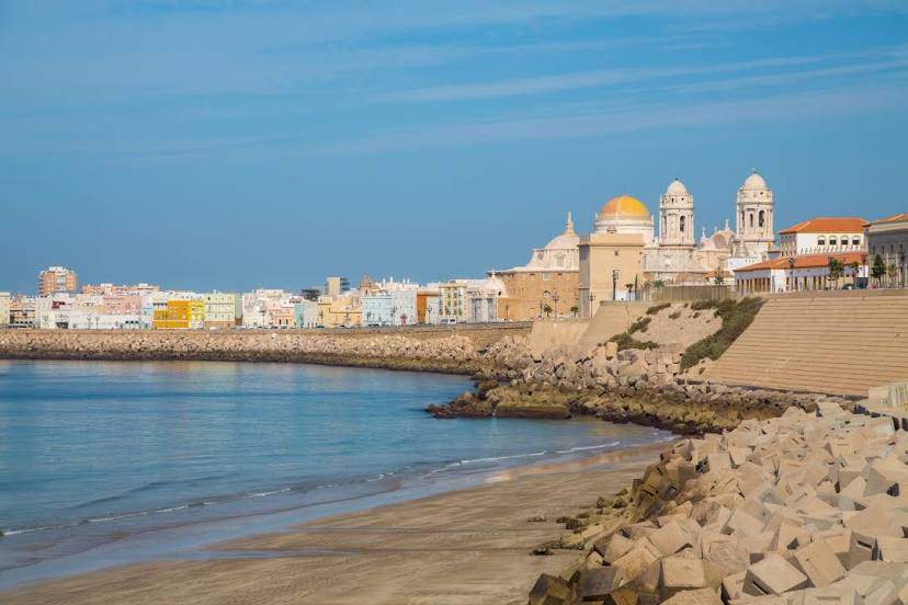
- Cádiz — 10 km
- Jerez — 24 km
- Algeciras — 76 km
- Tangier
 (Morocco) — 85 km
 - Dos Hermanas — 93 km
- Huelva — 109 km
- Marbella — 117 km
- Tetouan (Morocco) — 125 km
- Málaga — 154 km
- Córdoba — 200 km
- Granada — 242 km
- Kenitra (Morocco) — 248 km
- Jaén — 256 km
- Taounate (Morocco) — 257 km
- Badajoz — 274 km
- Sale (Morocco) — 275 km
- Temara (Morocco) — 289 km
- Meknes (Morocco) — 291 km
- Khemisset (Morocco) — 294 km
Distance to neighboring capitals:
- Rabat (Morocco) — 284 km
- Lisbon
 (Portugal) — 360 km
 - Andorra la Vella
 (Andorra) — 942 km
 - Paris
 (France) — 1542 km
 - Paris (France) — 1542 km
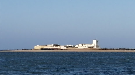
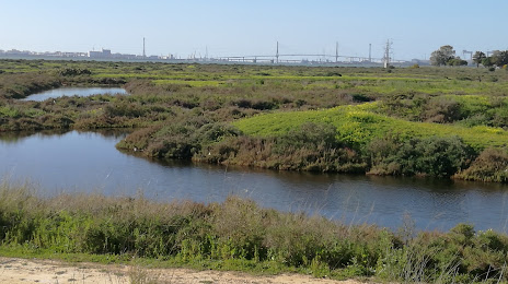
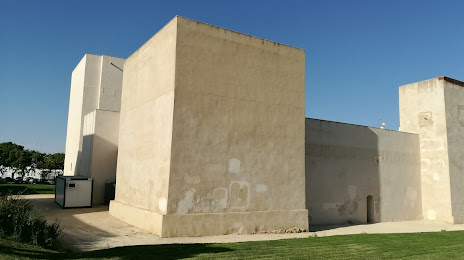
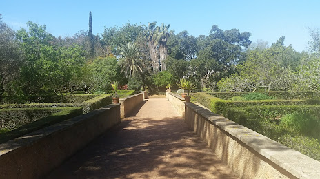
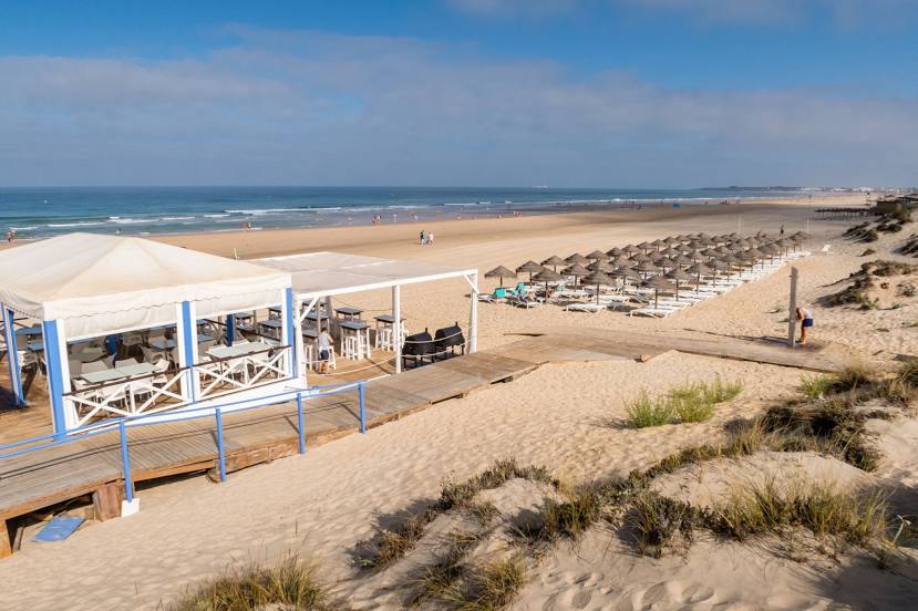
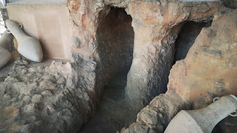
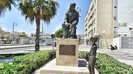
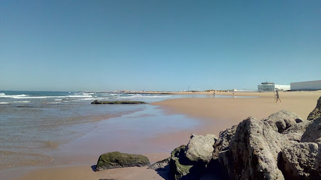
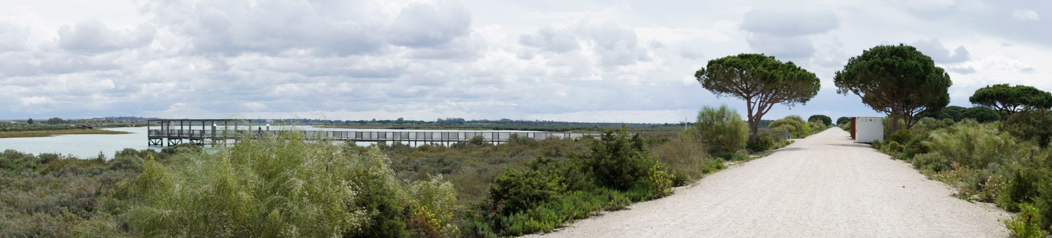
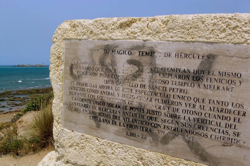
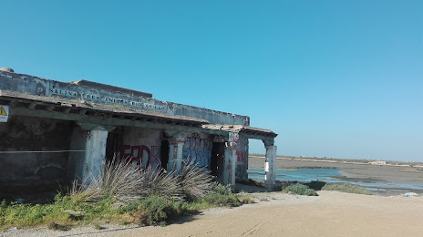
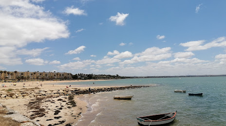
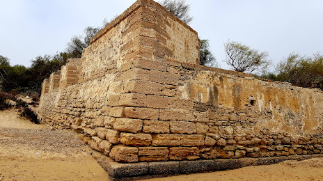
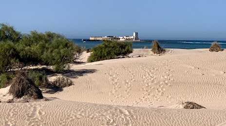
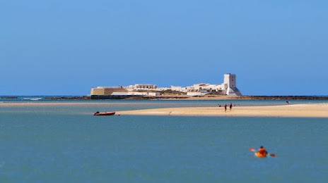
Attractions


Distance to the capital
Distance to the capital (Madrid) is about — 490 km.