
 Los Olmos
Mediana de Aragón
Carme
Aguaviva
San Fernando
La Roca de la Sierra
Cubillo
Mollerussa
Consell
Urnieta
Murcia
L'Hospitalet de Llobregat
Arrasate
Vitoria-Gasteiz
Santander
Alcala de Henares
Arenas de San Pedro
Córdoba
Bernardos
Los Olmos
Mediana de Aragón
Carme
Aguaviva
San Fernando
La Roca de la Sierra
Cubillo
Mollerussa
Consell
Urnieta
Murcia
L'Hospitalet de Llobregat
Arrasate
Vitoria-Gasteiz
Santander
Alcala de Henares
Arenas de San Pedro
Córdoba
Bernardos
Molina de Segura on the map, Spain
Where is located Molina de Segura
Exact location — Molina de Segura, Murcia, Región de Murcia, Spain, marked on the map with a red marker.
Coordinates
Molina de Segura, Spain coordinates in decimal format: latitude — 38.051681, longitude — -1.2073261. When converted to degrees, minutes, seconds Molina de Segura has the following coordinates: 38°3′6.05 north latitude and -1°12′26.37 east longitude.
Population
Molina de Segura, Murcia, Región de Murcia, Spain, according to our data the population is — 51,917 residents, which is about 0.1% of the total population of the country (Spain).
Comparison of the population on the graph:
Exact time
Time zone for this location Molina de Segura — UTC +2 Europe/Madrid. Exact time — sunday, 4 april 2024 year, 19 h. 03 minutes.
Sunrise and sunset
Molina de Segura, sunrise and sunset data for a date — sunday 28.04.2024.
| Sunrise | Sunset | Day (duration) |
|---|---|---|
| 07:14 -1 minute | 20:50 +1 minute | 13 h. 36 minutes. +2 minutes |
You can control the scale of the map using the auxiliary tools to find out exactly where it is located Molina de Segura. When you change the scale of the map, the width of the ruler also changes (in kilometers and miles).
Nearby cities
The largest cities that are located nearby:
- Murcia — 9 km
- Cartagena — 51 km
- Albacete — 118 km
- Valencia — 172 km
- Almería — 175 km
- Jaén — 227 km
- Granada — 232 km
- Oran
 (Algeria) — 265 km
 - Relizane (Algeria) — 301 km
- Chlef (Algeria) — 308 km
- Córdoba — 312 km
- Sidi Bel Abbes (Algeria) — 319 km
- Málaga — 321 km
- Alcala de Henares — 324 km
- Torrejón de Ardoz — 327 km
- Getafe — 328 km
- Fuenlabrada — 330 km
- Leganés — 332 km
- Alcorcón — 336 km
Distance to neighboring capitals:
- Andorra la Vella
 (Andorra) — 547 km
 - Rabat
 (Morocco) — 681 km
 - Lisbon
 (Portugal) — 695 km
 - Paris
 (France) — 1235 km
 - Paris (France) — 1235 km
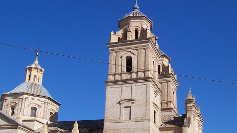
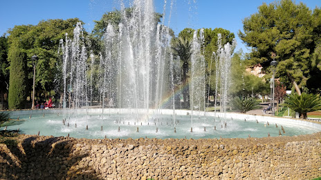
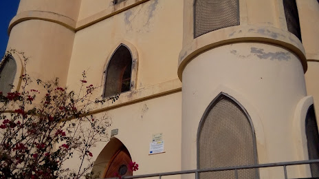
Attractions
Distance to the capital
Distance to the capital (Madrid) is about — 340 km.