
 Carme
Aguaviva
San Fernando
La Roca de la Sierra
Cubillo
Mollerussa
Consell
Berdún
Camprodon
Amurrio
La Estrella
Urnieta
Murcia
L'Hospitalet de Llobregat
Arrasate
Vitoria-Gasteiz
Santander
Alcala de Henares
Arenas de San Pedro
Carme
Aguaviva
San Fernando
La Roca de la Sierra
Cubillo
Mollerussa
Consell
Berdún
Camprodon
Amurrio
La Estrella
Urnieta
Murcia
L'Hospitalet de Llobregat
Arrasate
Vitoria-Gasteiz
Santander
Alcala de Henares
Arenas de San Pedro
Elda on the map, Spain
Where is located Elda
Exact location — Elda, Alicante, Comunidad Valenciana, Spain, marked on the map with a red marker.
Coordinates
Elda, Spain coordinates in decimal format: latitude — 38.4765073, longitude — -0.7964597. When converted to degrees, minutes, seconds Elda has the following coordinates: 38°28′35.43 north latitude and -0°47′47.25 east longitude.
Population
Elda, Alicante, Comunidad Valenciana, Spain, according to our data the population is — 60,276 residents, which is about 0.1% of the total population of the country (Spain).
Comparison of the population on the graph:
Exact time
Time zone for this location Elda — UTC +2 Europe/Madrid. Exact time — saturday, 4 april 2024 year, 23 h. 25 minutes.
Sunrise and sunset
Elda, sunrise and sunset data for a date — saturday 27.04.2024.
| Sunrise | Sunset | Day (duration) |
|---|---|---|
| 07:13 -1 minute | 20:48 +1 minute | 13 h. 36 minutes. +2 minutes |
You can control the scale of the map using the auxiliary tools to find out exactly where it is located Elda. When you change the scale of the map, the width of the ruler also changes (in kilometers and miles).
Nearby cities
The largest cities that are located nearby:
- Murcia — 61 km
- Cartagena — 96 km
- Albacete — 108 km
- Valencia — 116 km
- Almería — 234 km
- Jaén — 272 km
- Granada — 286 km
- Oran
 (Algeria) — 308 km
 - Alcala de Henares — 309 km
- Torrejón de Ardoz — 314 km
- Palma — 318 km
- Chlef (Algeria) — 318 km
- Getafe — 320 km
- Fuenlabrada — 323 km
- Leganés — 324 km
- Relizane (Algeria) — 326 km
- Alcorcón — 329 km
- Móstoles — 330 km
- Alcobendas — 330 km
Distance to neighboring capitals:
- Andorra la Vella
 (Andorra) — 489 km
 - Lisbon
 (Portugal) — 725 km
 - Rabat
 (Morocco) — 739 km
 - Paris
 (France) — 1182 km
 - Paris (France) — 1182 km
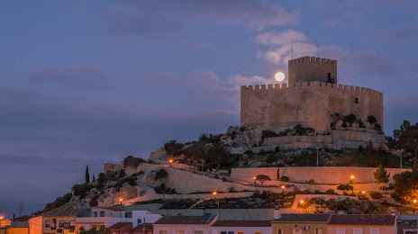
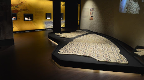
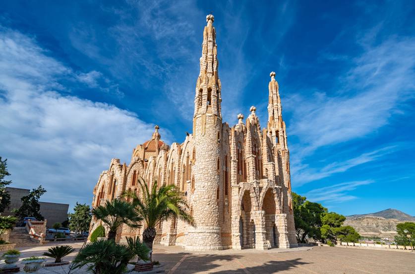
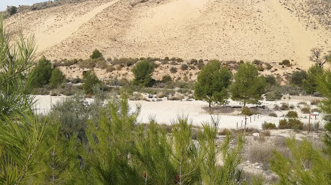
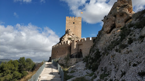
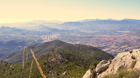
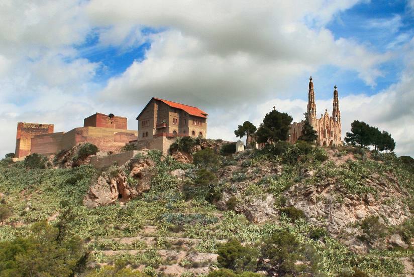
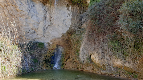
Attractions


Distance to the capital
Distance to the capital (Madrid) is about — 330 km.