
 La Bisbal d'Empordà
Quijano
Vélez-Málaga
Felanitx
Nora
Concha
Majadahonda
Artés
Logroño
Mollerussa
Cubillo
La Roca de la Sierra
San Fernando
Aguaviva
Carme
Mediana de Aragón
Los Olmos
Lledó
La Rinconada
La Bisbal d'Empordà
Quijano
Vélez-Málaga
Felanitx
Nora
Concha
Majadahonda
Artés
Logroño
Mollerussa
Cubillo
La Roca de la Sierra
San Fernando
Aguaviva
Carme
Mediana de Aragón
Los Olmos
Lledó
La Rinconada
Sestao on the map, Spain
Where is located Sestao
Exact location — Sestao, Bizkaia, Euskadi, Spain, marked on the map with a red marker.
Coordinates
Sestao, Spain coordinates in decimal format: latitude — 43.3093903, longitude — -3.0072372. When converted to degrees, minutes, seconds Sestao has the following coordinates: 43°18′33.81 north latitude and -3°0′26.05 east longitude.
Population
Sestao, Bizkaia, Euskadi, Spain, according to our data the population is — 31,709 residents, which is about 0.1% of the total population of the country (Spain).
Comparison of the population on the graph:
Exact time
Time zone for this location Sestao — UTC +2 Europe/Madrid. Exact time — wednesday, 5 may 2024 year, 02 h. 30 minutes.
Sunrise and sunset
Sestao, sunrise and sunset data for a date — wednesday 15.05.2024.
| Sunrise | Sunset | Day (duration) |
|---|---|---|
| 06:50 -1 minute | 21:26 +2 minutes | 14 h. 36 minutes. +3 minutes |
You can control the scale of the map using the auxiliary tools to find out exactly where it is located Sestao. When you change the scale of the map, the width of the ruler also changes (in kilometers and miles).
Nearby cities
The largest cities that are located nearby:
- Bilbao — 8 km
- Vitoria-Gasteiz — 56 km
- Santander — 67 km
- San Sebastián — 83 km
- Logroño — 104 km
- Burgos — 121 km
- Pamplona — 123 km
- Gijón — 214 km
- León — 223 km
- Oviedo — 229 km
- Valladolid — 232 km
- Zaragoza — 254 km
- Bordeaux
 (France) — 255 km
 - Alcobendas — 311 km
- Alcala de Henares — 314 km
- Torrejón de Ardoz — 318 km
- Alcorcón — 335 km
- Leganés — 335 km
- Getafe — 337 km
Distance to neighboring capitals:
- Andorra la Vella
 (Andorra) — 380 km
 - Lisbon
 (Portugal) — 724 km
 - Paris (France) — 742 km
- Paris (France) — 742 km
- Rabat
 (Morocco) — 1091 km
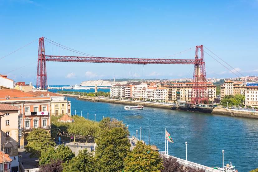
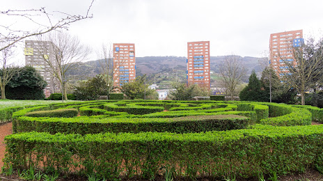
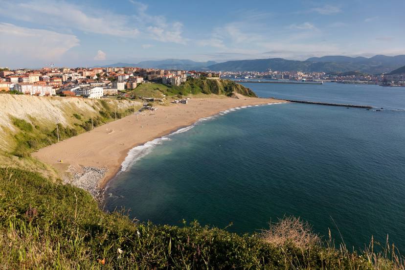
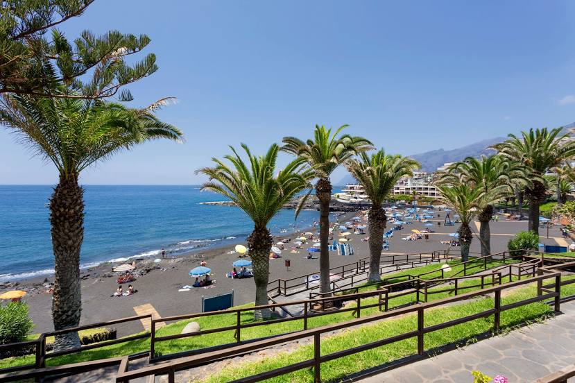
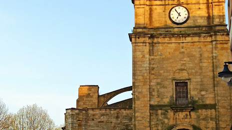
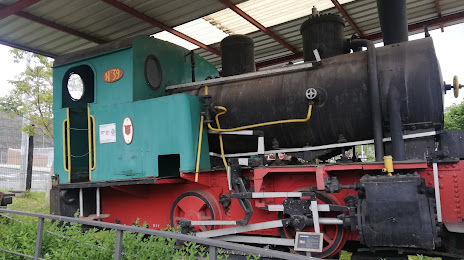
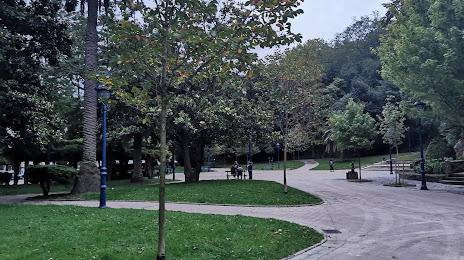
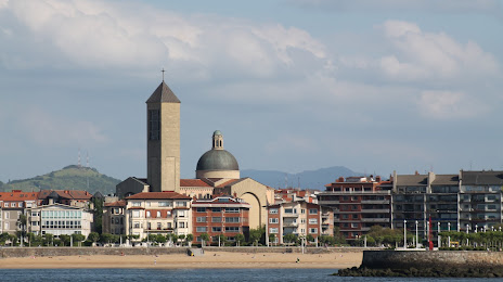
Attractions


Distance to the capital
Distance to the capital (Madrid) is about — 327 km.