
 La Rinconada
Lledó
Los Olmos
Mediana de Aragón
Carme
Aguaviva
San Fernando
La Roca de la Sierra
Cubillo
L'Hospitalet de Llobregat
Arrasate
Vitoria-Gasteiz
Santander
Alcala de Henares
Arenas de San Pedro
Córdoba
Bernardos
Ávila
San Pedro del Pinatar
La Rinconada
Lledó
Los Olmos
Mediana de Aragón
Carme
Aguaviva
San Fernando
La Roca de la Sierra
Cubillo
L'Hospitalet de Llobregat
Arrasate
Vitoria-Gasteiz
Santander
Alcala de Henares
Arenas de San Pedro
Córdoba
Bernardos
Ávila
San Pedro del Pinatar
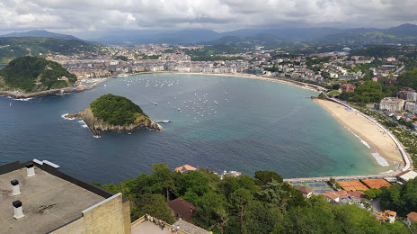
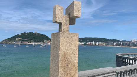
San Sebastián on the map, Spain
Where is located San Sebastián
Exact location — San Sebastián, Gipuzkoa, Basque Country, Spain, marked on the map with a red marker.
Coordinates
San Sebastián, Spain coordinates in decimal format: latitude — 43.318334, longitude — -1.9812313. When converted to degrees, minutes, seconds San Sebastián has the following coordinates: 43°19′6 north latitude and -1°58′52.43 east longitude.
Population
San Sebastián, Gipuzkoa, Basque Country, Spain, according to our data the population is — 185,357 residents, which is about 0.4% of the total population of the country (Spain).
Comparison of the population on the graph:
Exact time
Time zone for this location San Sebastián — UTC +2 Europe/Madrid. Exact time — sunday, 4 april 2024 year, 15 h. 30 minutes.
Sunrise and sunset
San Sebastián, sunrise and sunset data for a date — sunday 28.04.2024.
| Sunrise | Sunset | Day (duration) |
|---|---|---|
| 07:07 -2 minutes | 21:02 +1 minute | 13 h. 54 minutes. +3 minutes |
You can control the scale of the map using the auxiliary tools to find out exactly where it is located San Sebastián. When you change the scale of the map, the width of the ruler also changes (in kilometers and miles).
Nearby cities
The largest cities that are located nearby:
- Pamplona — 62 km
- Vitoria-Gasteiz — 76 km
- Bilbao — 77 km
- Logroño — 102 km
- Santander — 148 km
- Burgos — 177 km
- Bordeaux
 (France) — 201 km
 - Zaragoza — 205 km
- Toulouse (France) — 276 km
- Lleida — 286 km
- Valladolid — 292 km
- Gijón — 296 km
- León — 302 km
- Oviedo — 311 km
- Alcala de Henares — 334 km
- Alcobendas — 337 km
- Torrejón de Ardoz — 340 km
- Tarragona — 362 km
- Leganés — 363 km
Distance to neighboring capitals:
- Andorra la Vella
 (Andorra) — 299 km
 - Paris (France) — 701 km
- Paris (France) — 701 km
- Lisbon
 (Portugal) — 788 km
 - Rabat
 (Morocco) — 1122 km
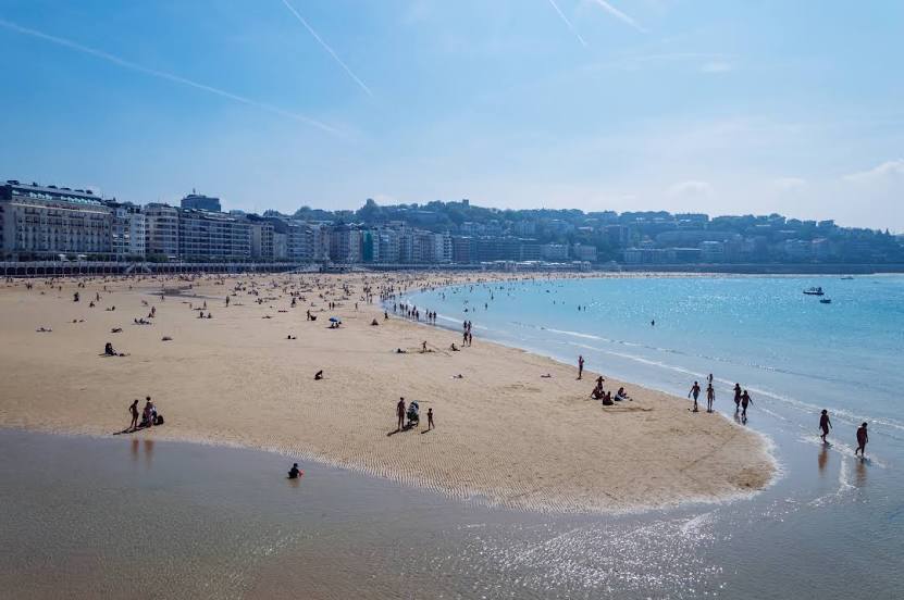
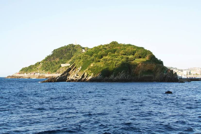
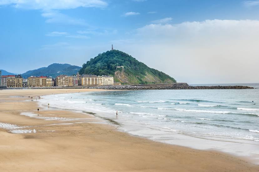
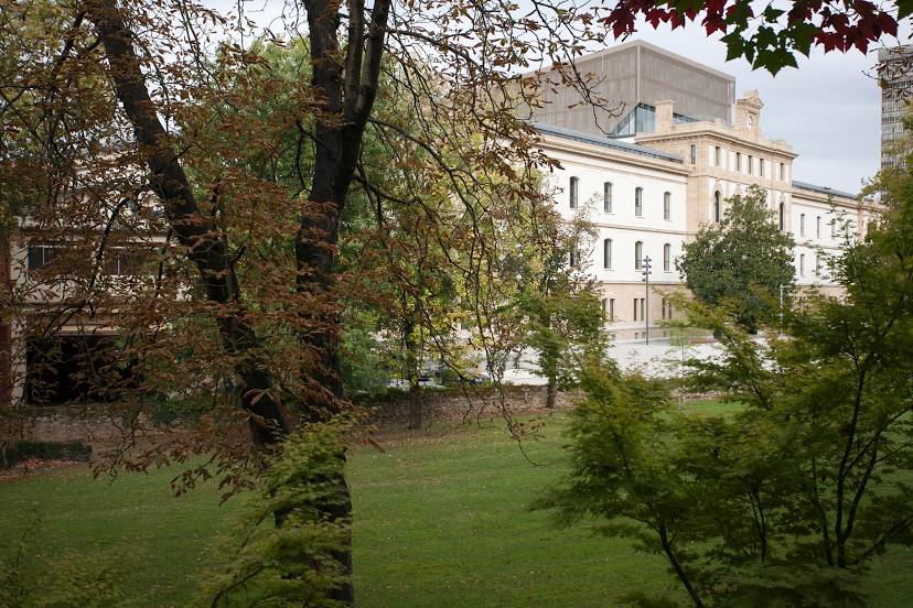
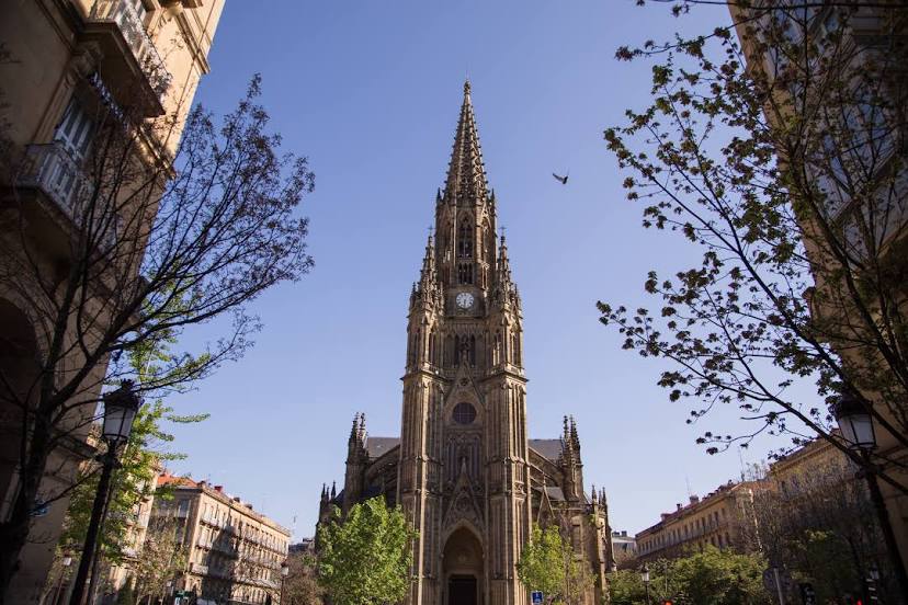
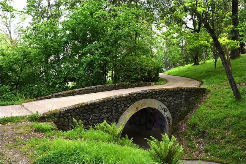
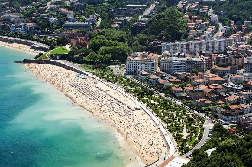
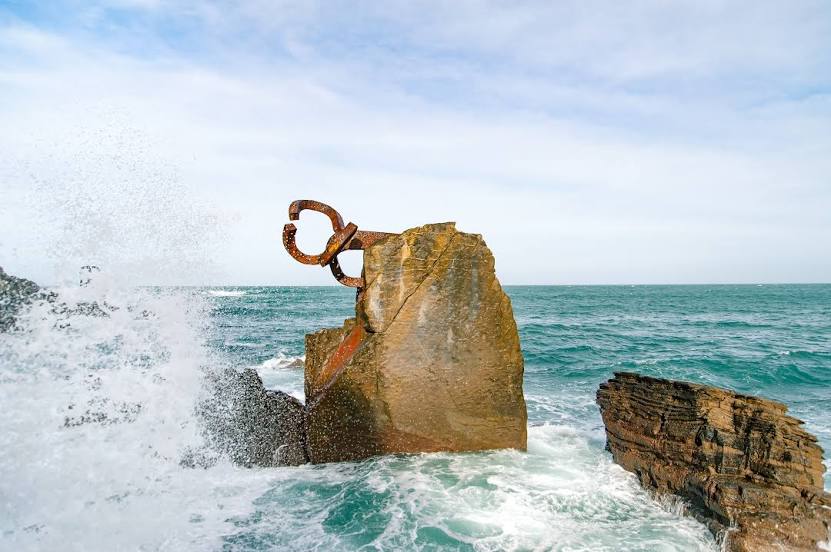
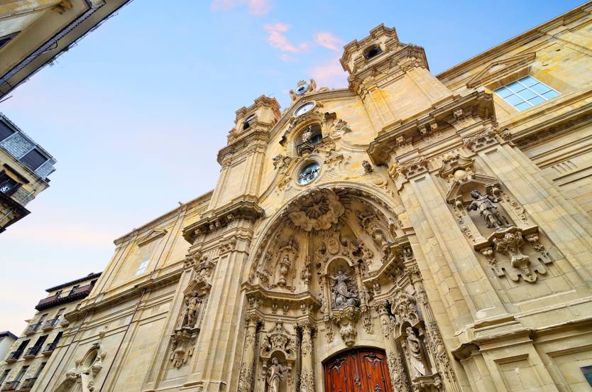
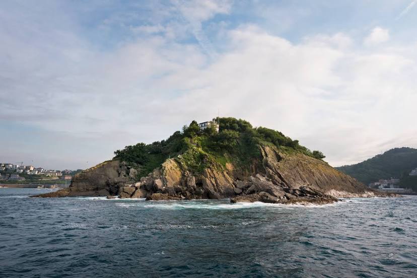
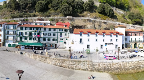
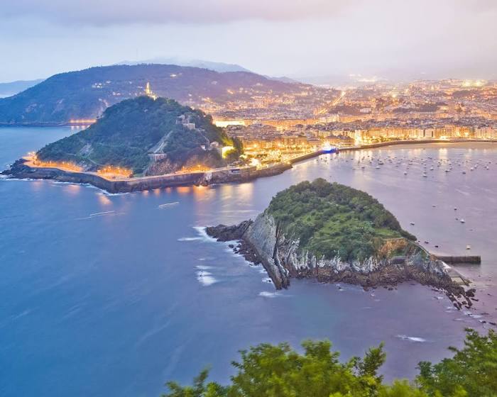
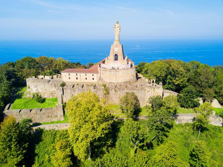
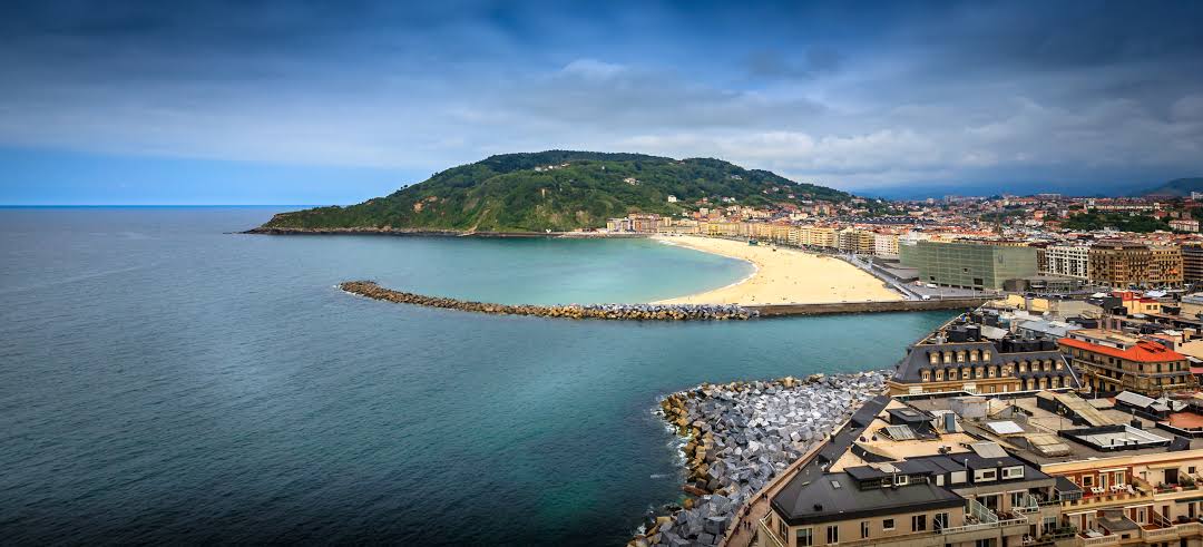
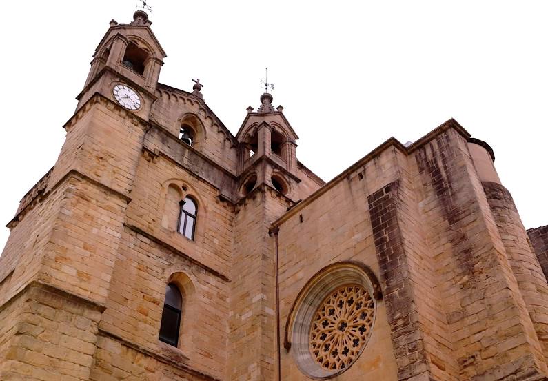
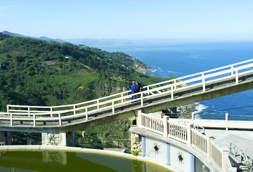
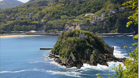
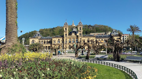
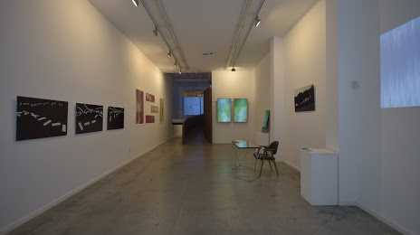
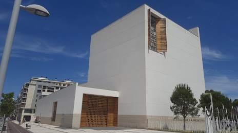
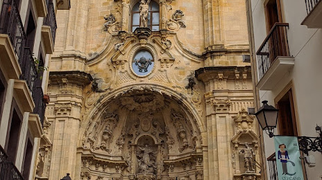
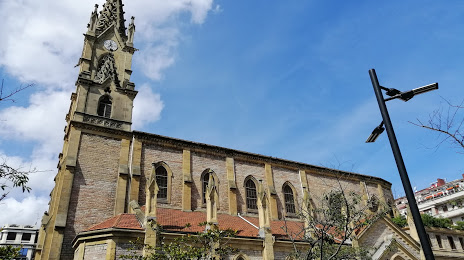
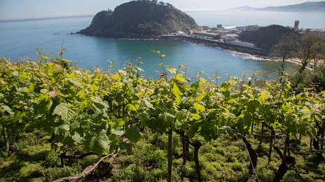
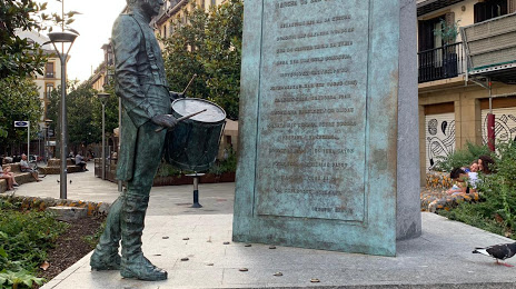
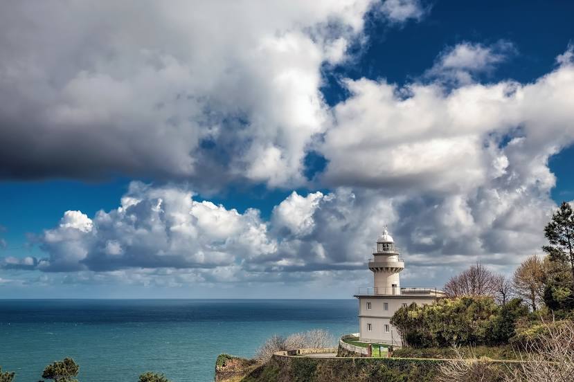
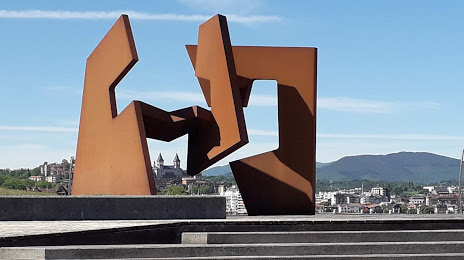
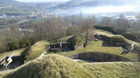
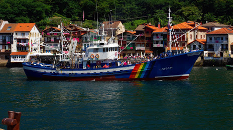
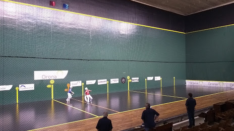
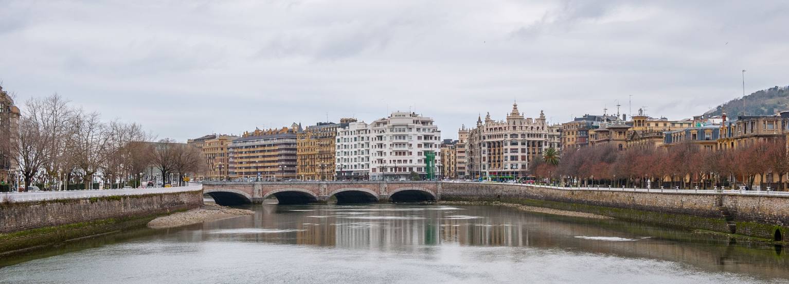
Attractions


Distance to the capital
Distance to the capital (Madrid) is about — 353 km.