
 Algemesí
Palamós
Palafrugell
Linares
Tajonar
Isla Mayor
Guadalajara
Albacete
Cuenca
Logroño
Artés
Majadahonda
Concha
Nora
Felanitx
Vélez-Málaga
Quijano
La Bisbal d'Empordà
Olesa de Montserrat
Algemesí
Palamós
Palafrugell
Linares
Tajonar
Isla Mayor
Guadalajara
Albacete
Cuenca
Logroño
Artés
Majadahonda
Concha
Nora
Felanitx
Vélez-Málaga
Quijano
La Bisbal d'Empordà
Olesa de Montserrat
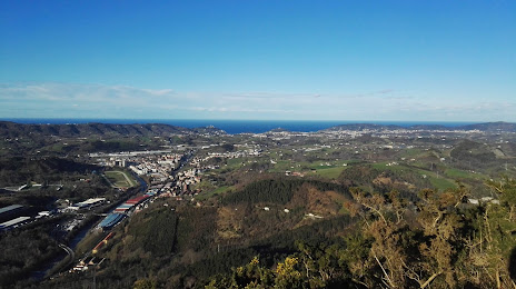
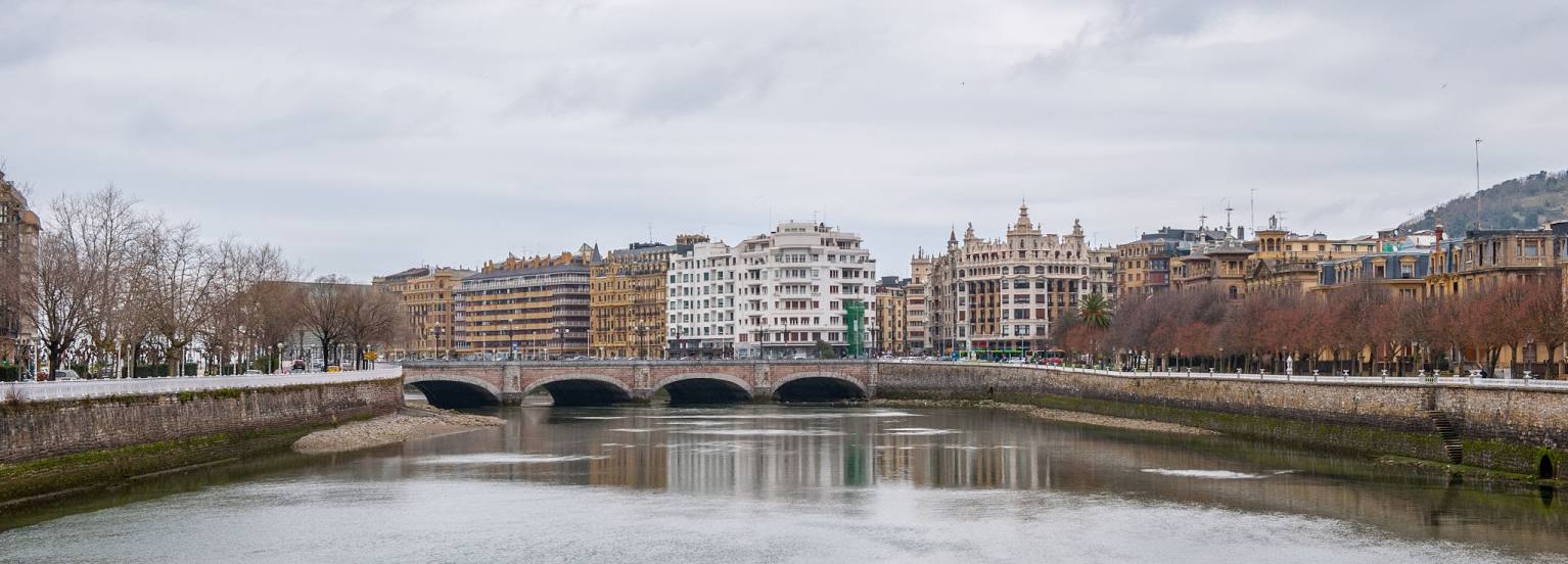
Andoain on the map, Spain
Where is located Andoain
Exact location — Andoain, Gipuzkoa, Euskadi, Spain, marked on the map with a red marker.
Coordinates
Andoain, Spain coordinates in decimal format: latitude — 43.2186367, longitude — -2.021197. When converted to degrees, minutes, seconds Andoain has the following coordinates: 43°13′7.09 north latitude and -2°1′16.31 east longitude.
Population
Andoain, Gipuzkoa, Euskadi, Spain, according to our data the population is — 13,961 residents, which is about 0% of the total population of the country (Spain).
Comparison of the population on the graph:
Exact time
Time zone for this location Andoain — UTC +2 Europe/Madrid. Exact time — thursday, 5 may 2024 year, 16 h. 59 minutes.
Sunrise and sunset
Andoain, sunrise and sunset data for a date — thursday 9.05.2024.
| Sunrise | Sunset | Day (duration) |
|---|---|---|
| 06:53 -1 minute | 21:15 +1 minute | 14 h. 24 minutes. +2 minutes |
You can control the scale of the map using the auxiliary tools to find out exactly where it is located Andoain. When you change the scale of the map, the width of the ruler also changes (in kilometers and miles).
Nearby cities
The largest cities that are located nearby:
- San Sebastián — 11 km
- Pamplona — 54 km
- Vitoria-Gasteiz — 67 km
- Bilbao — 74 km
- Logroño — 90 km
- Santander — 146 km
- Burgos — 168 km
- Zaragoza — 197 km
- Bordeaux
 (France) — 212 km
 - Toulouse (France) — 281 km
- Lleida — 281 km
- Valladolid — 283 km
- Gijón — 294 km
- León — 297 km
- Oviedo — 308 km
- Alcala de Henares — 323 km
- Alcobendas — 326 km
- Torrejón de Ardoz — 329 km
- Leganés — 351 km
Distance to neighboring capitals:
- Andorra la Vella
 (Andorra) — 299 km
 - Paris (France) — 712 km
- Paris (France) — 712 km
- Lisbon
 (Portugal) — 779 km
 - Rabat
 (Morocco) — 1110 km
Attractions


Distance to the capital
Distance to the capital (Madrid) is about — 341 km.