Villa de Cos — Taray
Villa de Cos — Bustamante
Villa de Cos — Jiutepec
Villa de Cos — Nextipac
Villa de Cos — Álvaro Obregón
Villa de Cos — Tangancícuaro
Villa de Cos — Manuel Doblado
Villa de Cos — Nazareno Etla
Villa de Cos — Saint Vincent
Villa de Cos — Bahía de los Ángeles
Villa de Cos — Huásabas
Villa de Cos — Ixtapan de la Sal
Villa de Cos — Apatzingán
Villa de Cos — Jiménez
Villa de Cos — Temextla
Villa de Cos — Tequila
Villa de Cos — Rayón
Villa de Cos — San Juan Acazuchitlán
Villa de Cos — Santa Bárbara
Fresnillo
Plateros
San José de Lourdes
El Baluarte
Sain Alto
Cantuna
Sombrerete
Colonia del Oro
Vicente Guerrero
Nombre de Dios Municipality
Villa MonteMorelos
Praxedis G. Guerrero Nuevo
Durango
El Salto
Pueblo Nuevo
Zapote
La Petaca
Copala
Concordia
Villa Unión
Mazatlán International Airport
Villa de Cos — Mazatlán distance, route on the map
Distance by car
Distance between Villa de Cos, Zacatecas, Mexico and Mazatlán, Sinaloa, Mexico by car is — km, or miles. To travel this distance by car, you need minute, or h.
Route on the map, driving directions
Car route Villa de Cos — Mazatlán was created automatically. The road on the map is shown as a blue line. By moving the markers, you can create a new route through the points you need.
Passing cities through which the car route passes: Estación San José, Fresnillo, Plateros, San José de Lourdes, El Baluarte, Sain Alto, Cantuna, Sombrerete, Colonia del Oro, Vicente Guerrero, Nombre de Dios Municipality, Villa MonteMorelos, Praxedis G. Guerrero Nuevo, Durango, El Salto, Pueblo Nuevo, Zapote, La Petaca, Copala, Concordia, Villa Unión, Mazatlán International Airport.
Distance by plane
If you decide to take a trip Villa de Cos Mazatlán by plane, then you have to fly the distance — 415 km or 257 miles. It is marked on the map with a gray line (between two points in a straight line).
Flight time
Estimated flight time Villa de Cos Mazatlán by plane at cruising speed 750 km / h will be — 33 min.
Direction of movement
Mexico, Villa de Cos — right-hand traffic. Mexico, Mazatlán — right-hand traffic.
Difference in time
Villa de Cos and Mazatlán are in different time zones. The time difference is 1 hour (UTC -6 America/Mexico_City, UTC -7 America/Mazatlan).
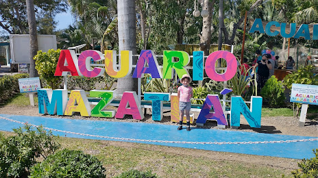
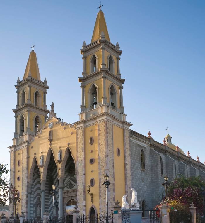
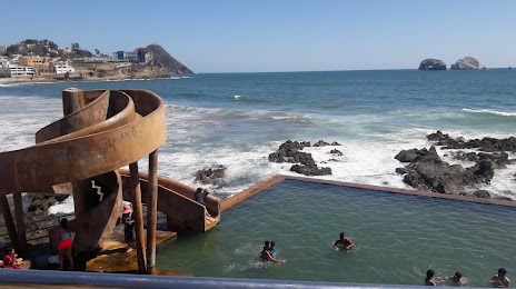
Interesting Facts
Information on alternative ways to get to your destination.
The length of this distance is about 1.0% of the total length of the equator.
The percentage of the population is clearly shown in the graph:
Villa de Cos — 4,297 (less by 350,433), Mazatlán — 354,730 residents.
The cost of travel
Calculate the cost of the trip yourself using the fuel consumption calculator, changing the data in the table.