Lagoa Nova — Descalvado
Lagoa Nova — Virgem da Lapa
Lagoa Nova — Pacaembu
Lagoa Nova — Coxilha
Lagoa Nova — Medeiros Neto
Lagoa Nova — Porto do Mangue
Lagoa Nova — Atalaia
Lagoa Nova — Teresina International Airport
Lagoa Nova — Campo Largo
Lagoa Nova — Pine tree
Lagoa Nova — Ipirá
Lagoa Nova — Catanduva
Lagoa Nova — Espera Feliz
Lagoa Nova — Santa Adélia
Lagoa Nova — Km 47
Lagoa Nova — Campo Verde
Lagoa Nova — Betim
Lagoa Nova — Rodeiro
Lagoa Nova — Fortaleza
Lagoa Nova — Porto Alegre distance, route on the map
Distance by car
Distance between Lagoa Nova, Rio Grande do Norte, Brazil and Porto Alegre, State of Rio Grande do Sul, Brazil by car is — km, or miles. To travel this distance by car, you need minute, or h.
Route on the map, driving directions
Car route Lagoa Nova — Porto Alegre was created automatically. The road on the map is shown as a blue line. By moving the markers, you can create a new route through the points you need.
Distance by plane
If you decide to take a trip Lagoa Nova Porto Alegre by plane, then you have to fly the distance — 3078 km or 1908 miles. It is marked on the map with a gray line (between two points in a straight line).
Flight time
Estimated flight time Lagoa Nova Porto Alegre by plane at cruising speed 750 km / h will be — 4 h. and 6 min.
Direction of movement
Brazil, Lagoa Nova — right-hand traffic. Brazil, Porto Alegre — right-hand traffic.
Difference in time
Lagoa Nova and Porto Alegre are in the same time zone. Between them there is no time difference (UTC -3 America/Fortaleza).
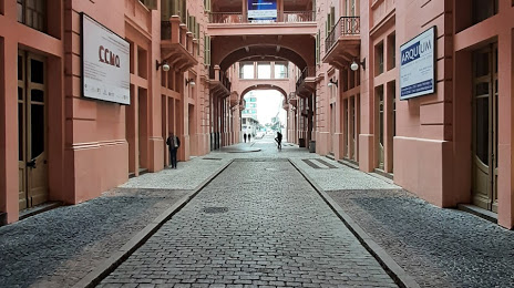
Interesting Facts
Information on alternative ways to get to your destination.
The length of this distance is about 7.7% of the total length of the equator.
The percentage of the population is clearly shown in the graph:
Lagoa Nova — 5,984 (less by 1,366,779), Porto Alegre — 1,372,763 residents.
The cost of travel
Calculate the cost of the trip yourself using the fuel consumption calculator, changing the data in the table.