Rio Claro
Hortolândia
Fortaleza
São Luís
Caldas Novas
Marília
Atibaia
Paulo Afonso
Petrópolis
Rio Claro
Hortolândia
Fortaleza
São Luís
Caldas Novas
Marília
Atibaia
Paulo Afonso
Petrópolis
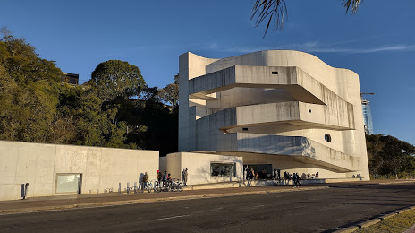
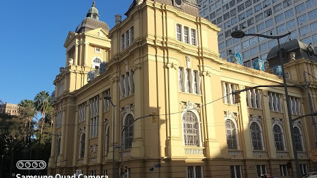
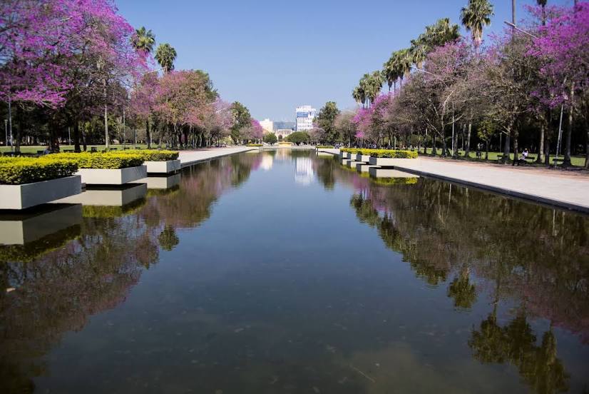
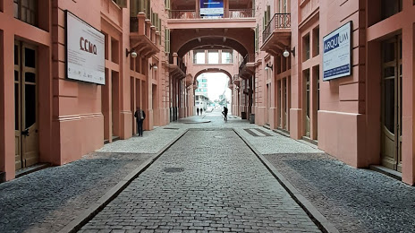
Porto Alegre on the map, Brazil
Where is located Porto Alegre
Exact location — Porto Alegre, Porto Alegre, State of Rio Grande do Sul, Brazil, marked on the map with a red marker.
Coordinates
Porto Alegre, Brazil coordinates in decimal format: latitude — -30.0346471, longitude — -51.2176584. When converted to degrees, minutes, seconds Porto Alegre has the following coordinates: -30°2′4.73 north latitude and -51°13′3.57 east longitude.
Population
Porto Alegre, Porto Alegre, State of Rio Grande do Sul, Brazil, according to our data the population is — 1,372,763 residents, which is about 0.6% of the total population of the country (Brazil).
Comparison of the population on the graph:
Exact time
Time zone for this location Porto Alegre — UTC -3 America/Sao_Paulo. Exact time — sunday, 4 april 2024 year, 14 h. 45 minutes.
Sunrise and sunset
Porto Alegre, sunrise and sunset data for a date — sunday 28.04.2024.
| Sunrise | Sunset | Day (duration) |
|---|---|---|
| 06:55 +1 minute | 17:49 -1 minute | 10 h. 54 minutes. -2 minutes |
You can control the scale of the map using the auxiliary tools to find out exactly where it is located Porto Alegre. When you change the scale of the map, the width of the ruler also changes (in kilometers and miles).
Nearby cities
The largest cities that are located nearby:
- Guaíba — 13 km
- Canoas — 14 km
- Cachoeirinha — 15 km
- Viamão — 20 km
- Gravataí — 24 km
- São Leopoldo — 32 km
- Novo Hamburgo — 39 km
- Caxias do Sul — 96 km
- Santa Cruz do Sul — 122 km
- Pelotas — 218 km
- Passo Fundo — 228 km
- Criciúma — 234 km
- Rio Grande — 236 km
- Santa Maria — 252 km
- Lages — 260 km
- Chapecó — 352 km
- Palhoça — 363 km
- São José — 368 km
- Florianópolis — 376 km
Distance to neighboring capitals:
- Montevideo
 (Uruguay) — 713 km
 - Asuncion
 (Paraguay) — 821 km
 - Asuncion (Paraguay) — 824 km
- Buenos Aires
 (Argentina) — 843 km
 - Santiago
 (Chile) — 1874 km
 - Nuestra Señora de La Paz
 (Bolivia) — 2288 km
 - Paramaribo
 (Suriname) — 4014 km
 - Georgetown
 (Guyana) — 4164 km
 - Quito
 (Ecuador) — 4398 km
 - Bogota
 (Colombia) — 4557 km
 - Caracas
 (Venezuela) — 4814 km