Brusque
Valinhos
Juiz de Fora
Rondonópolis
Goiânia
Maceió
Vilhena Airport
Porto Velho
Ariquemes
Mairiporã
Curitiba
Serra
Suzano
Taubaté
Recife
Belo Horizonte
Porto Alegre
Salto
Rio de Janeiro
Brusque
Valinhos
Juiz de Fora
Rondonópolis
Goiânia
Maceió
Vilhena Airport
Porto Velho
Ariquemes
Mairiporã
Curitiba
Serra
Suzano
Taubaté
Recife
Belo Horizonte
Porto Alegre
Salto
Rio de Janeiro
Atibaia on the map, Brazil
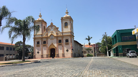
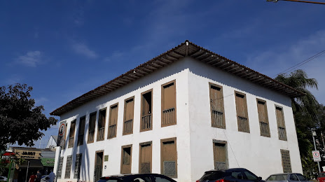
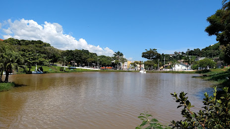
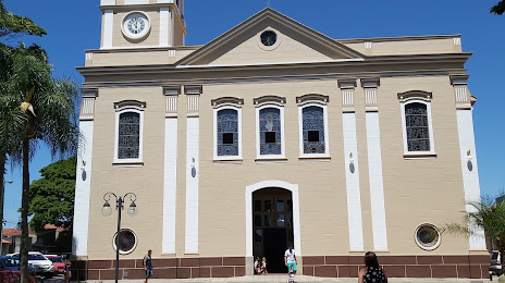
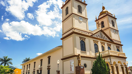
Where is located Atibaia
Exact location — Atibaia, Atibaia, São Paulo, Brazil, marked on the map with a red marker.
Coordinates
Atibaia, Brazil coordinates in decimal format: latitude — -23.1175492, longitude — -46.5567066. When converted to degrees, minutes, seconds Atibaia has the following coordinates: -23°7′3.18 north latitude and -46°33′24.14 east longitude.
Population
Atibaia, Atibaia, São Paulo, Brazil, according to our data the population is — 110,970 residents, which is about 0.1% of the total population of the country (Brazil).
Comparison of the population on the graph:
Exact time
Time zone for this location Atibaia — UTC -3 America/Sao_Paulo. Exact time — wednesday, 5 may 2024 year, 16 h. 22 minutes.
Sunrise and sunset
Atibaia, sunrise and sunset data for a date — wednesday 8.05.2024.
| Sunrise | Sunset | Day (duration) |
|---|---|---|
| 06:32 +1 minute | 17:33 -0 minutes | 11 h. 0 minutes. -1 minute |
You can control the scale of the map using the auxiliary tools to find out exactly where it is located Atibaia. When you change the scale of the map, the width of the ruler also changes (in kilometers and miles).
Nearby cities
The largest cities that are located nearby:
- Francisco Morato — 26 km
- Franco da Rocha — 29 km
- Várzea Paulista — 29 km
- Jundiaí — 35 km
- Guarulhos — 37 km
- Itaquaquecetuba — 46 km
- São Paulo — 49 km
- Poá — 51 km
- Osasco — 52 km
- Carapicuiba — 53 km
- Suzano — 53 km
- Barueri — 54 km
- São Caetano do Sul — 56 km
- Campinas — 56 km
- Jandira — 57 km
- Mogi das Cruzes — 58 km
- Taboão da Serra — 60 km
- Itapevi — 61 km
- Saint Andrew — 62 km
Distance to neighboring capitals:
- Asuncion
 (Paraguay) — 1143 km
 - Asuncion (Paraguay) — 1149 km
- Montevideo
 (Uruguay) — 1608 km
 - Buenos Aires
 (Argentina) — 1717 km
 - Nuestra Señora de La Paz
 (Bolivia) — 2373 km
 - Santiago
 (Chile) — 2615 km
 - Paramaribo
 (Suriname) — 3356 km
 - Georgetown
 (Guyana) — 3559 km
 - Quito
 (Ecuador) — 4289 km
 - Bogota
 (Colombia) — 4293 km
 - Caracas
 (Venezuela) — 4350 km