Marília
Atibaia
Paulo Afonso
Petrópolis
São José dos Campos
Belém
Santa Maria
Niterói
Salvador
Marília
Atibaia
Paulo Afonso
Petrópolis
São José dos Campos
Belém
Santa Maria
Niterói
Salvador
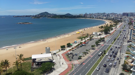
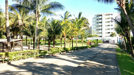
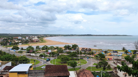
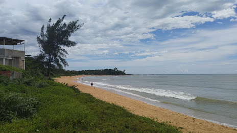
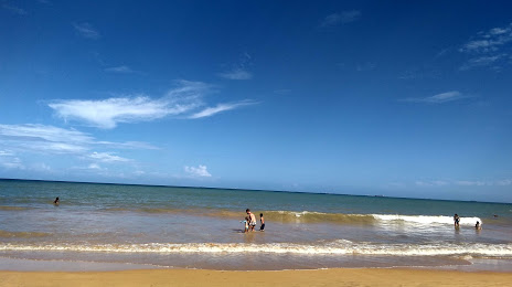
Serra on the map, Brazil
Where is located Serra
Exact location — Serra, Serra, Espírito Santo, Brazil, marked on the map with a red marker.
Coordinates
Serra, Brazil coordinates in decimal format: latitude — -20.1215224, longitude — -40.3077898. When converted to degrees, minutes, seconds Serra has the following coordinates: -20°7′17.48 north latitude and -40°18′28.04 east longitude.
Population
Serra, Serra, Espírito Santo, Brazil, according to our data the population is — 394,160 residents, which is about 0.2% of the total population of the country (Brazil).
Comparison of the population on the graph:
Exact time
Time zone for this location Serra — UTC -3 America/Sao_Paulo. Exact time — saturday, 4 april 2024 year, 18 h. 49 minutes.
Sunrise and sunset
Serra, sunrise and sunset data for a date — saturday 27.04.2024.
| Sunrise | Sunset | Day (duration) |
|---|---|---|
| 05:58 -0 minutes | 17:18 -1 minute | 11 h. 18 minutes. -1 minute |
You can control the scale of the map using the auxiliary tools to find out exactly where it is located Serra. When you change the scale of the map, the width of the ruler also changes (in kilometers and miles).
Nearby cities
The largest cities that are located nearby:
- Cariacica — 20 km
- Vila Velha — 25 km
- Guarapari — 64 km
- Colatina — 77 km
- Linhares — 84 km
- Cachoeiro de Itapemirim — 116 km
- Valadares Governor — 222 km
- Coronel Fabriciano — 251 km
- Teófilo Otoni — 280 km
- Macaé — 292 km
- Cabo Frio — 352 km
- Juiz de Fora — 361 km
- Araruama — 367 km
- Sabará — 367 km
- Teresópolis — 372 km
- Barbacena — 377 km
- Belo Horizonte — 378 km
- Santa Luzia — 380 km
- Ibirité — 390 km
Distance to neighboring capitals:
- Asuncion
 (Paraguay) — 1860 km
 - Asuncion (Paraguay) — 1866 km
- Montevideo
 (Uruguay) — 2263 km
 - Buenos Aires
 (Argentina) — 2397 km
 - Nuestra Señora de La Paz
 (Bolivia) — 2964 km
 - Paramaribo
 (Suriname) — 3317 km
 - Santiago
 (Chile) — 3340 km
 - Georgetown
 (Guyana) — 3575 km
 - Caracas
 (Venezuela) — 4484 km
 - Bogota
 (Colombia) — 4601 km
 - Quito
 (Ecuador) — 4707 km