Goiânia
Maceió
Vilhena Airport
Porto Velho
Ariquemes
Novo Hamburgo
Sarandi
Taquara
Cachoeirinha
Brasília
Manaus
Contagem
Campinas
Mairiporã
Curitiba
Serra
Suzano
Taubaté
Recife
Goiânia
Maceió
Vilhena Airport
Porto Velho
Ariquemes
Novo Hamburgo
Sarandi
Taquara
Cachoeirinha
Brasília
Manaus
Contagem
Campinas
Mairiporã
Curitiba
Serra
Suzano
Taubaté
Recife
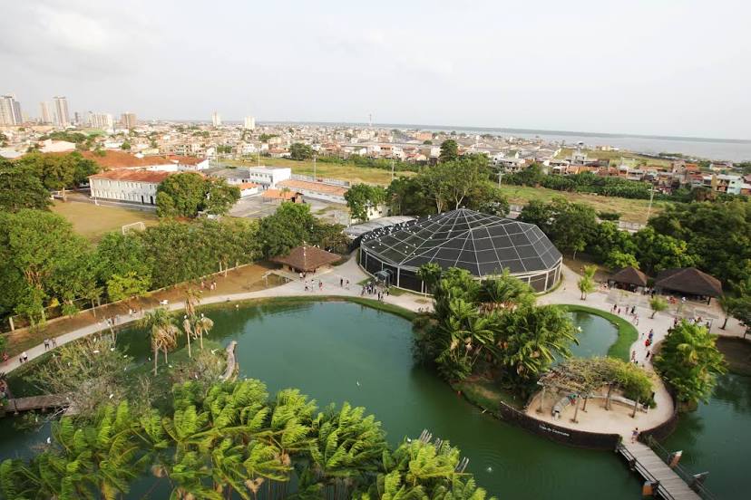
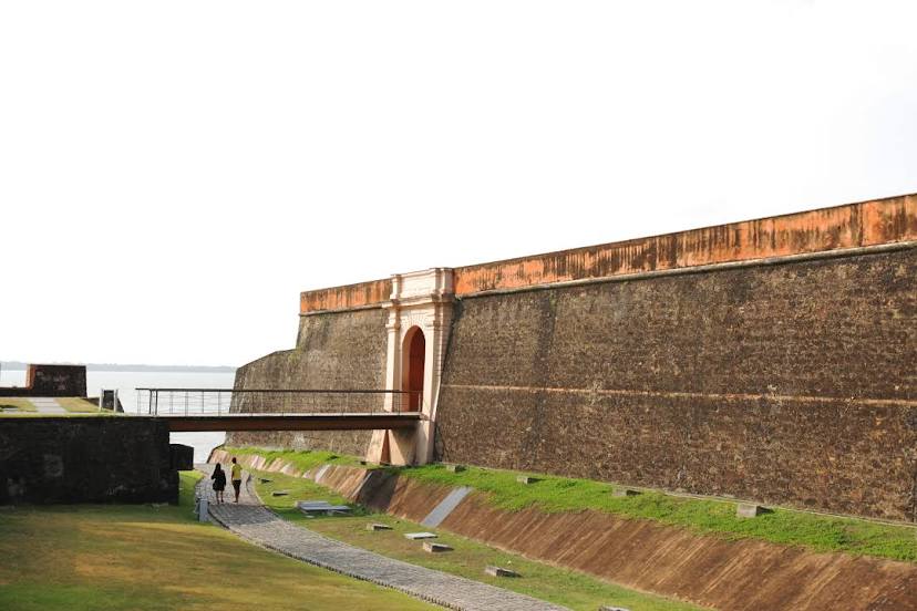
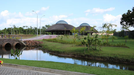
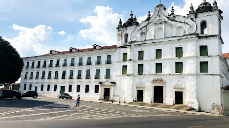
Belém on the map, Brazil
Where is located Belém
Exact location — Belém, Belém, Pará, Brazil, marked on the map with a red marker.
Coordinates
Belém, Brazil coordinates in decimal format: latitude — -1.4557549, longitude — -48.4901799. When converted to degrees, minutes, seconds Belém has the following coordinates: -1°27′20.72 north latitude and -48°29′24.65 east longitude.
Population
Belém, Belém, Pará, Brazil, according to our data the population is — 1,407,737 residents, which is about 0.7% of the total population of the country (Brazil).
Comparison of the population on the graph:
Exact time
Time zone for this location Belém — UTC -3 America/Belem. Exact time — thursday, 4 april 2024 year, 21 h. 07 minutes.
Sunrise and sunset
Belém, sunrise and sunset data for a date — thursday 25.04.2024.
| Sunrise | Sunset | Day (duration) |
|---|---|---|
| 06:12 -0 minutes | 18:11 -0 minutes | 12 h. 0 minutes. -0 minutes |
You can control the scale of the map using the auxiliary tools to find out exactly where it is located Belém. When you change the scale of the map, the width of the ruler also changes (in kilometers and miles).
Nearby cities
The largest cities that are located nearby:
- Ananindeua — 16 km
- Castanhal — 66 km
- Macapá — 330 km
- Marabá — 440 km
- Imperatriz — 463 km
- São Luís — 480 km
- Araguaína — 635 km
- Caxias — 679 km
- Santarém — 695 km
- Timon — 742 km
- Teresina — 744 km
- Parnaíba — 759 km
- Palmas — 972 km
- Paramaribo
 (Suriname) — 1095 km
 - Caucaia — 1113 km
- Maracanaú — 1120 km
- Fortaleza — 1128 km
- Juazeiro do Norte — 1192 km
- Petrolina — 1236 km
Distance to neighboring capitals:
- Paramaribo (Suriname) — 1103 km
- Georgetown
 (Guyana) — 1413 km
 - Caracas
 (Venezuela) — 2437 km
 - Nuestra Señora de La Paz
 (Bolivia) — 2727 km
 - Asuncion
 (Paraguay) — 2822 km
 - Asuncion (Paraguay) — 2826 km
- Bogota
 (Colombia) — 2922 km
 - Quito
 (Ecuador) — 3337 km
 - Montevideo
 (Uruguay) — 3804 km
 - Buenos Aires
 (Argentina) — 3827 km
 - Santiago
 (Chile) — 4241 km