
 Józefów nad Wisłą
Gorzyce Wielkie
Rogówek
Sromowce Niżne
Wyszków County
Kruszewo
Jantar
Sady Górne
Nagoszewo
Józefów nad Wisłą
Gorzyce Wielkie
Rogówek
Sromowce Niżne
Wyszków County
Kruszewo
Jantar
Sady Górne
Nagoszewo
Centrum Słowian i Wikingów on the map, Wolin, Poland
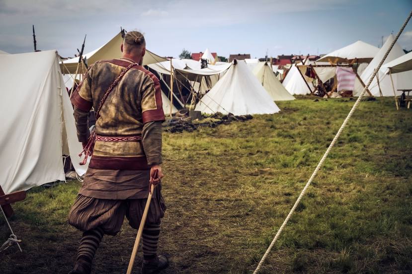
Photo
Where is located Centrum Słowian i Wikingów
Centrum Słowian i Wikingów — local attraction, which is located at Recław 37, 72-510 Wolin, Poland and belongs to the category — open air museum. Average visitor rating for this place — 4.6 (according to 4243 ratings, information from open sources and relevant for 2022).
Exact location — Centrum Słowian i Wikingów, marked on the map with a red marker.
You can get directions to Centrum Słowian i Wikingów on the map from your location.
What else is interesting in Wolin? You can see all the sights if you go to the city page.
Coordinates
Centrum Słowian i Wikingów, Poland coordinates in decimal format: latitude — 53.841995994358854, longitude — 14.619661925406573. When converted to degrees, minutes, seconds Centrum Słowian i Wikingów has the following coordinates: 53°50′31.19 north latitude and 14°37′10.78 east longitude.
Nearby cities
The largest cities that are located nearby:
- Szczecin — 46 km
- Koszalin — 108 km
- Gorzów Wielkopolski — 130 km
- Rostock
 (Germany) — 165 km
 - Berlin (Germany) — 167 km
- Berlin (Germany) — 170 km
- Potsdam (Germany) — 192 km
- Zielona Gora — 219 km
- Malmö
 (Sweden) — 219 km
 - Poznań — 222 km
- Cottbus (Germany) — 231 km
- Bydgoszcz — 239 km
- Copenhagen
 (Denmark) — 240 km
 - Gdynia — 262 km
- Gdańsk — 266 km
- Magdeburg (Germany) — 278 km
- Torun — 280 km
- Kiel (Germany) — 294 km
- Wolfsburg (Germany) — 302 km
Distance to the capital
Distance to the capital (Warsaw) is about — 463 km.